
Skylite GeoLLM Transportation Planning and Decision Support Platform
By: SkyliteLabs
Project Objective & Overview
Phase 1 of this initiative addressed the critical challenge of data accuracy and completeness, key barriers to informed infrastructure decision-making and safety improvements. Our approach combined multi-source data fusion, temporal geospatial processing pipelines, and a GeoLLM prototype that enables intuitive, prompt-based interaction with complex transportation datasets. The system supports interaction with Census block-level datasets (ACS, SVI), with the ability to aggregate metrics across various spatial grids.
Partner Agencies/Engagements
- Montgomery County Department of Transportation (MCDOT)
- Montgomery County Planning Department (MCPlanning)
- Georgia Department of Transportation (GDOT)
- Nashville Department of Transportation (NDOT)
- Delaware Department of Transportation (DelDOT)
Key Results & Findings
Technical Approach
- Developed novel large-scale data retrieval pipeline supporting spatial-temporal data fusion
- Created a GeoLLM interface supporting natural language queries with structured function calling
Key Challenges & Lessons Learned
- No single data source provides complete coverage; data fusion across multiple sources is essential
- Temporal metadata is frequently missing or poorly captured in existing datasets
- Current GIS tools are not optimally suited for transportation-specific temporal analysis needs
Sample Prompts
- Traffic incidents involving cyclists during the past 3 years — GeoLLM automatically selects all relevant incident types based on user query and displays data on the map
- Road segments with speed limit [ 30mph and PLOC ] 3 — Returns pedestrian friendly roads with higher speed limits
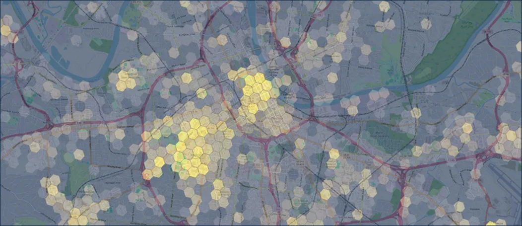
- Pedestrian Crosswalks, normalized by pop. at grid level 9 — Grid metrics, stylized by value
Company Info
Skylite Labs specializes in the fusion, visualization, and analysis of spatial and spatiotemporal data for government and commercial partners. We bring deep imagery analytics expertise and developed the Skylite GeoLLM Toolkit to enable natural-language interaction with geospatial data. Our team has over 20 years of applied geospatial R&D experience, including work with DHS S&T, DARPA, IARPA, and NGA Research.
Project POC: Eugene Polishchuk
Email: eugene@skylitelabs.com
Website: skylitelabs.com
Next Steps
- Expand capability to track infrastructure changes in near real-time
- Develop advanced analytics including transportation-specific metrics
- Grid-based metrics such as road-to-sidewalk ratios, population density normalized by pedestrian infrastructure, and traffic incident correlations with road speeds
Commercialization Plans
- Transportation agency engagements
- Partnerships with technology companies that are deploying sensors with available live data feeds