Introduction
For Internal Use Only
The USDOT Image Library contains photographs, illustrations, icons, and infographics created for the exclusive use by USDOT and its approved contractors. Images can be expanded to their full resolution by clicking within the preview box. Once expanded, right click the image to download and save. To collapse an image and return to the full library simply click anywhere on the expanded image.
This library is for internal purposes only. All images used must be credited to USDOT (Source: USDOT). If you have any questions, please contact Mike Pina at mike.pina@dot.gov or (202) 366-3700.
Illustrations
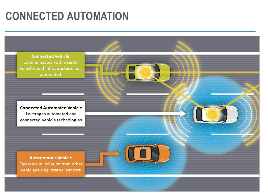
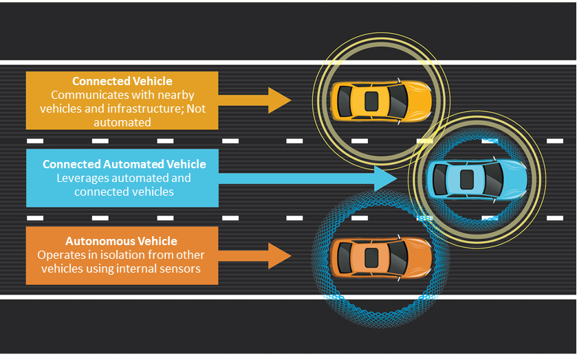
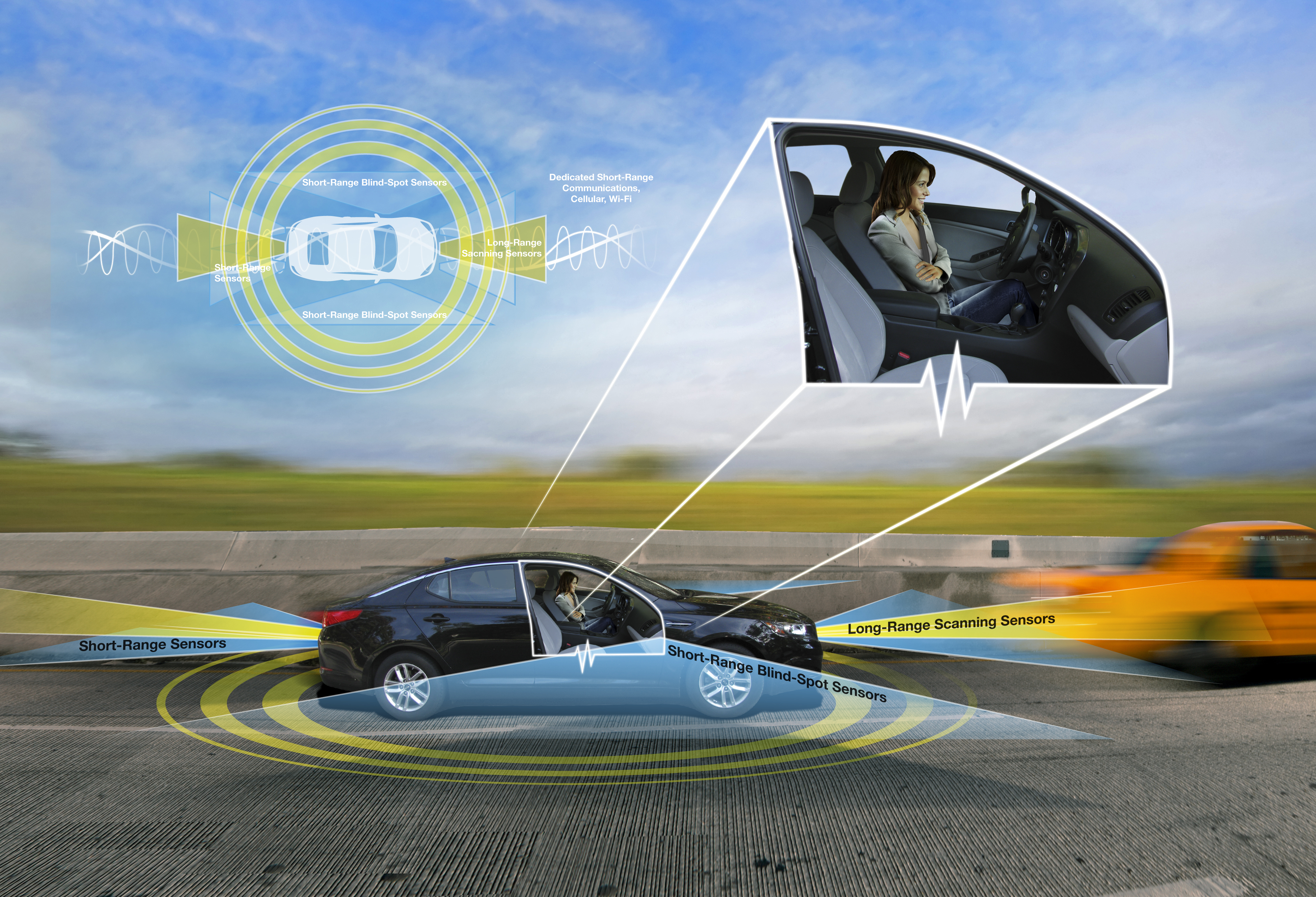
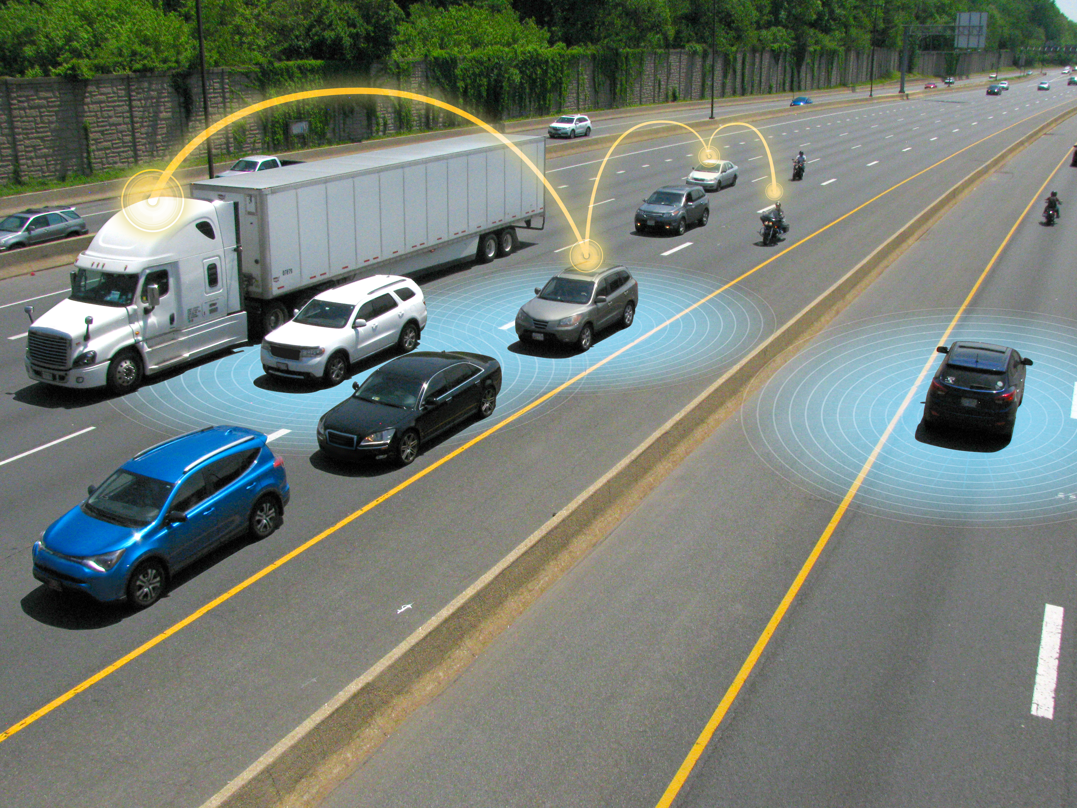
Connected Vehicles
Illustrations depicting the use, features and future of connected vehicle technology.
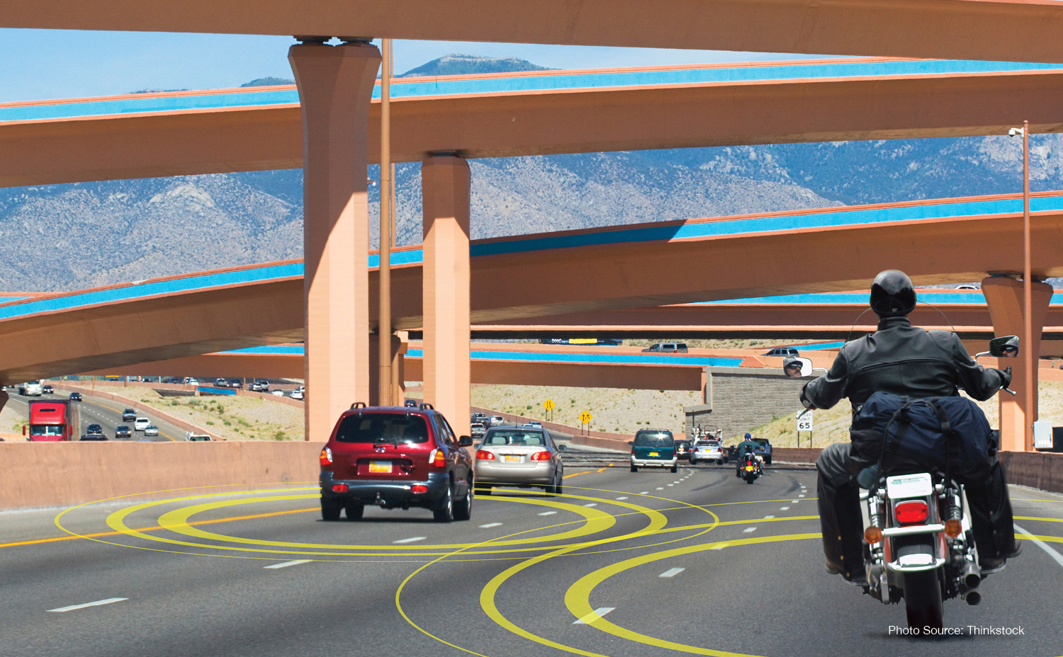
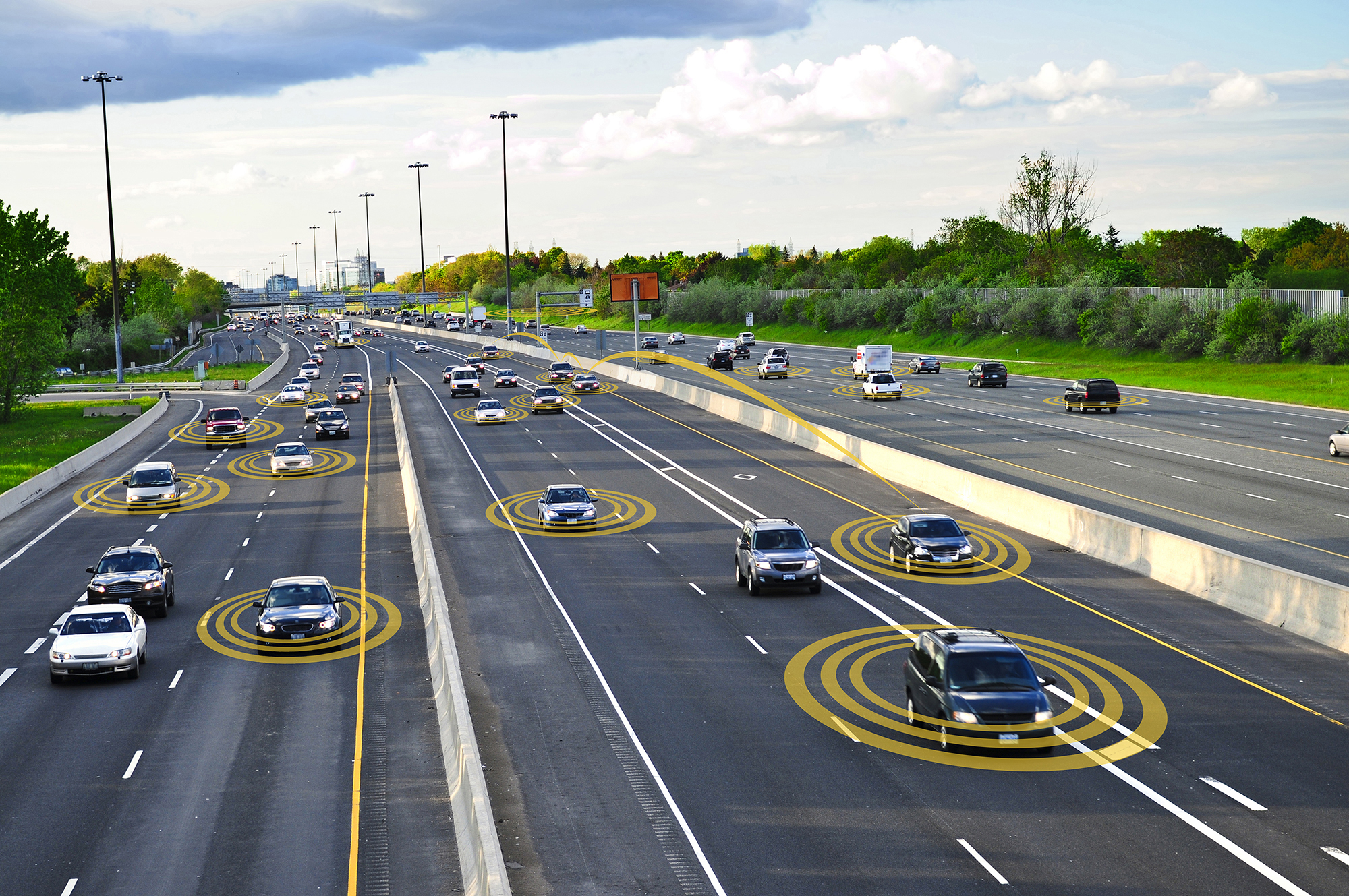
2. Connected Vehicle Head On
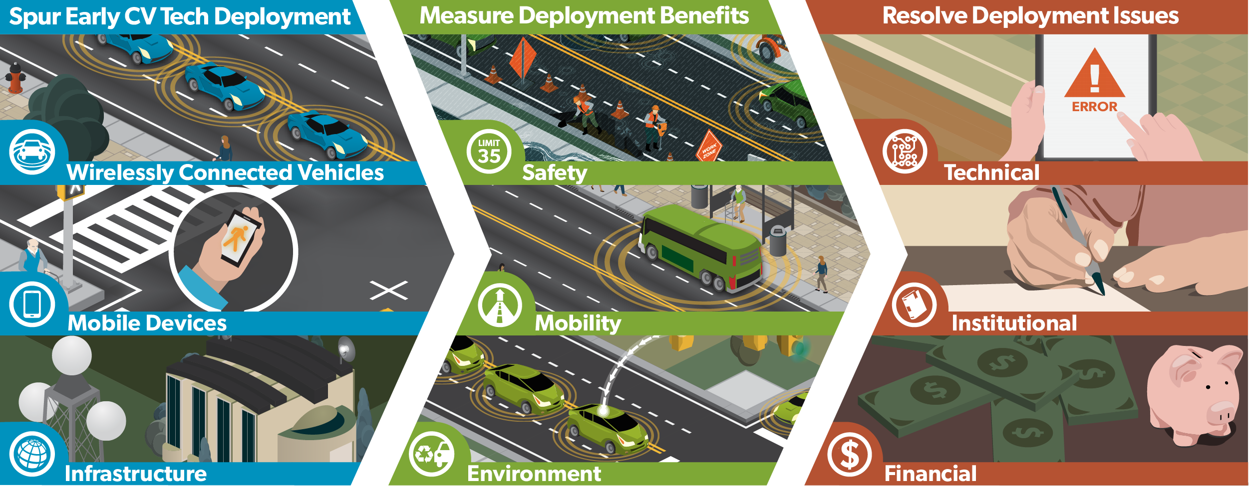
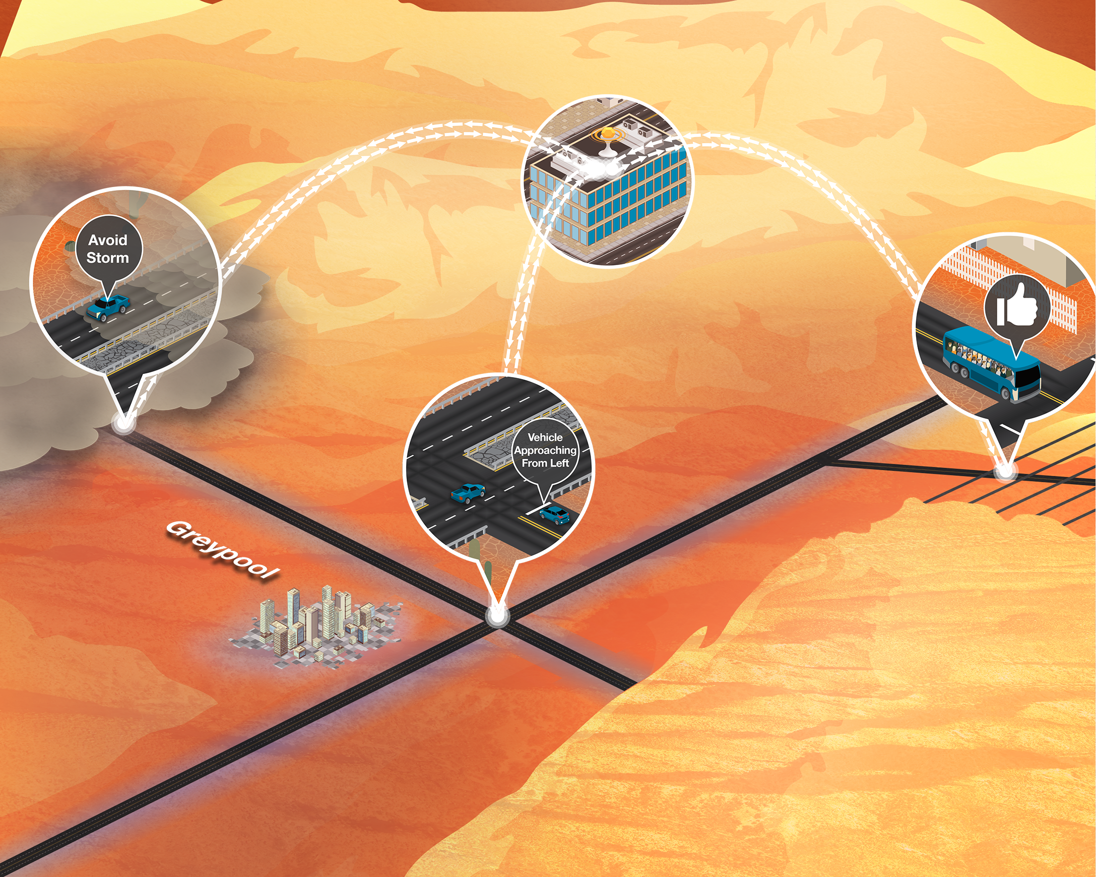
3. CV Deployment Plan Tall
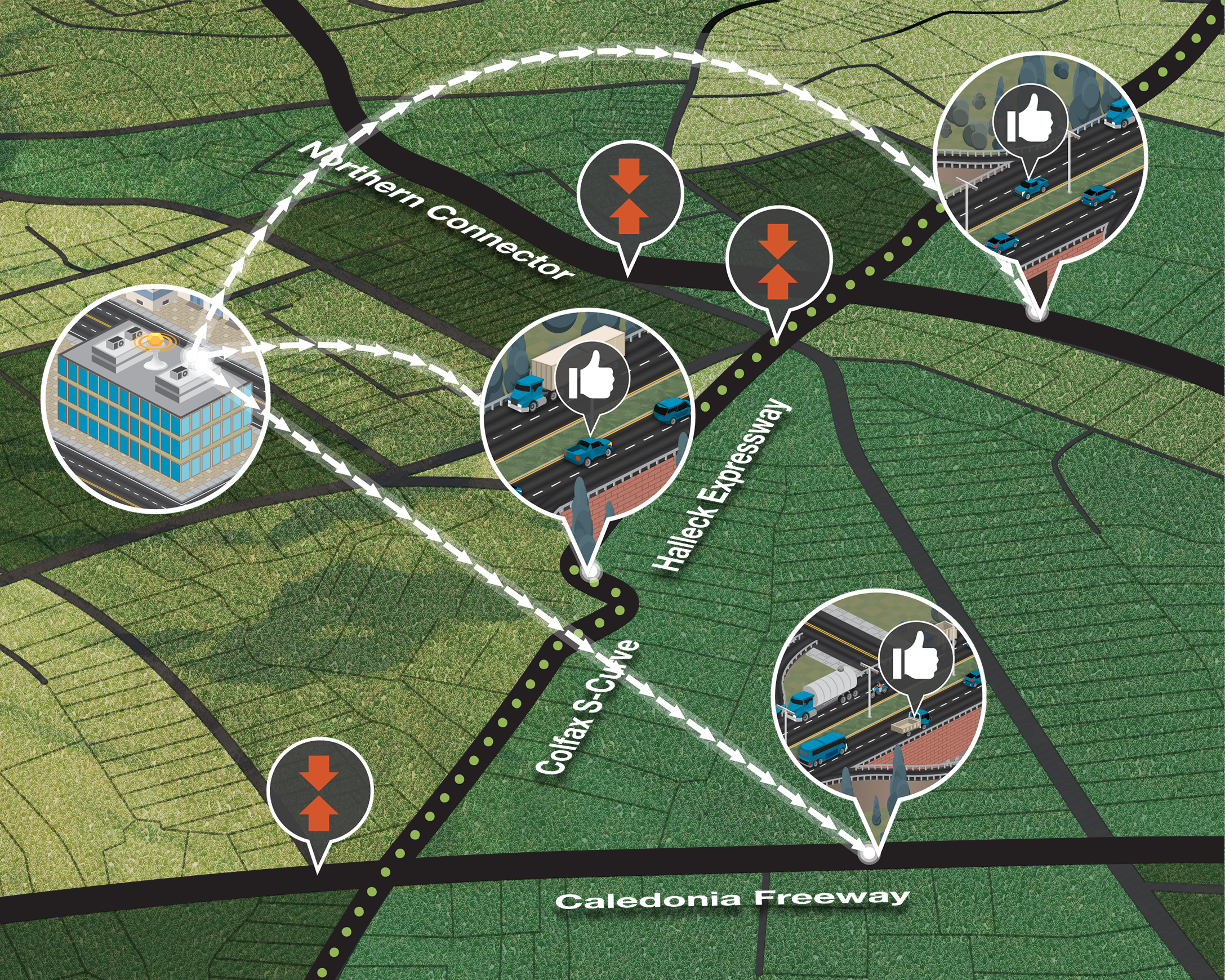
4. CV Deployment Plan Short
5. Connected Vehicle Front Side
6. Connected Vehicle Twitter Header
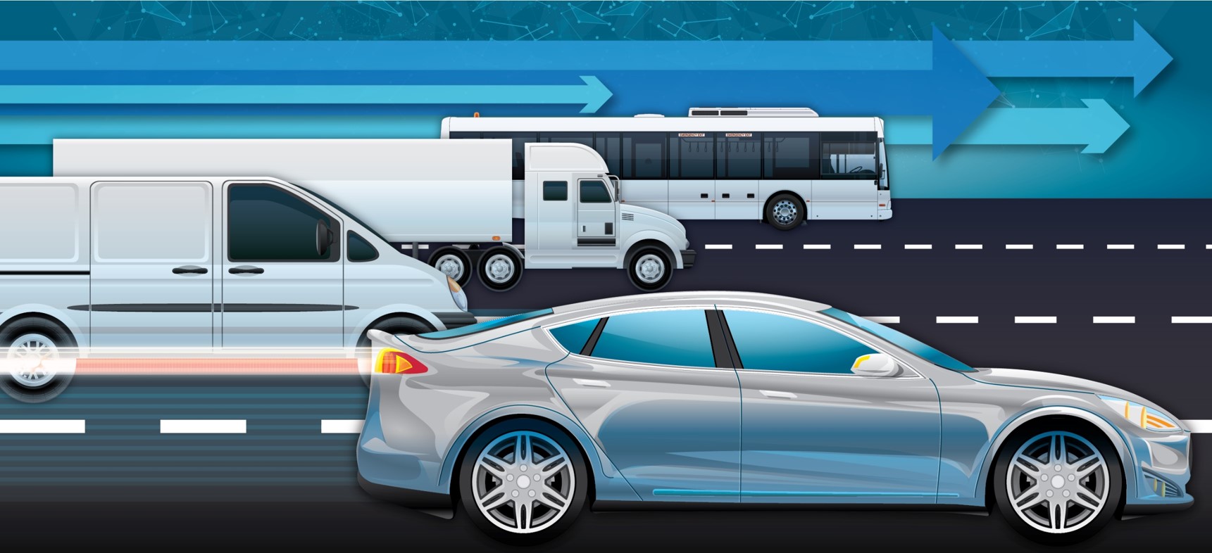
7. Two Connected Vehicles Head On
8. Single Connected Vehicle Head On
9. Two Connected Vehicles Head ON
10. How Connected Vehicles Work
11. Connected Vehicle Side View
12. Abstract Vehicle Collage
15. Anonymous Vehicle Information One
16. Anonymous Vehicle Information Two
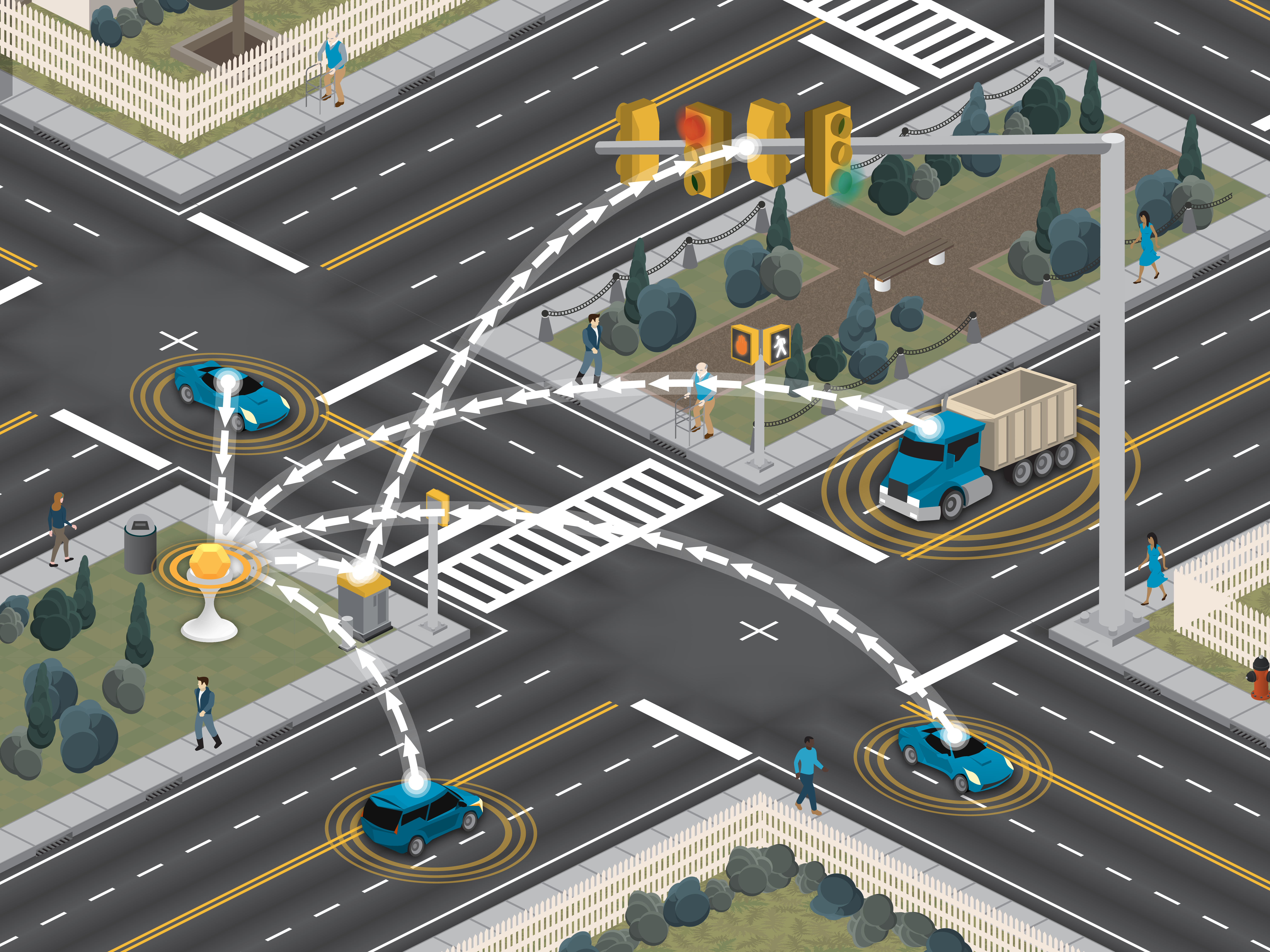
17. Connected Vehicle Interoperability
18. Connected Vehicle Application Warnings
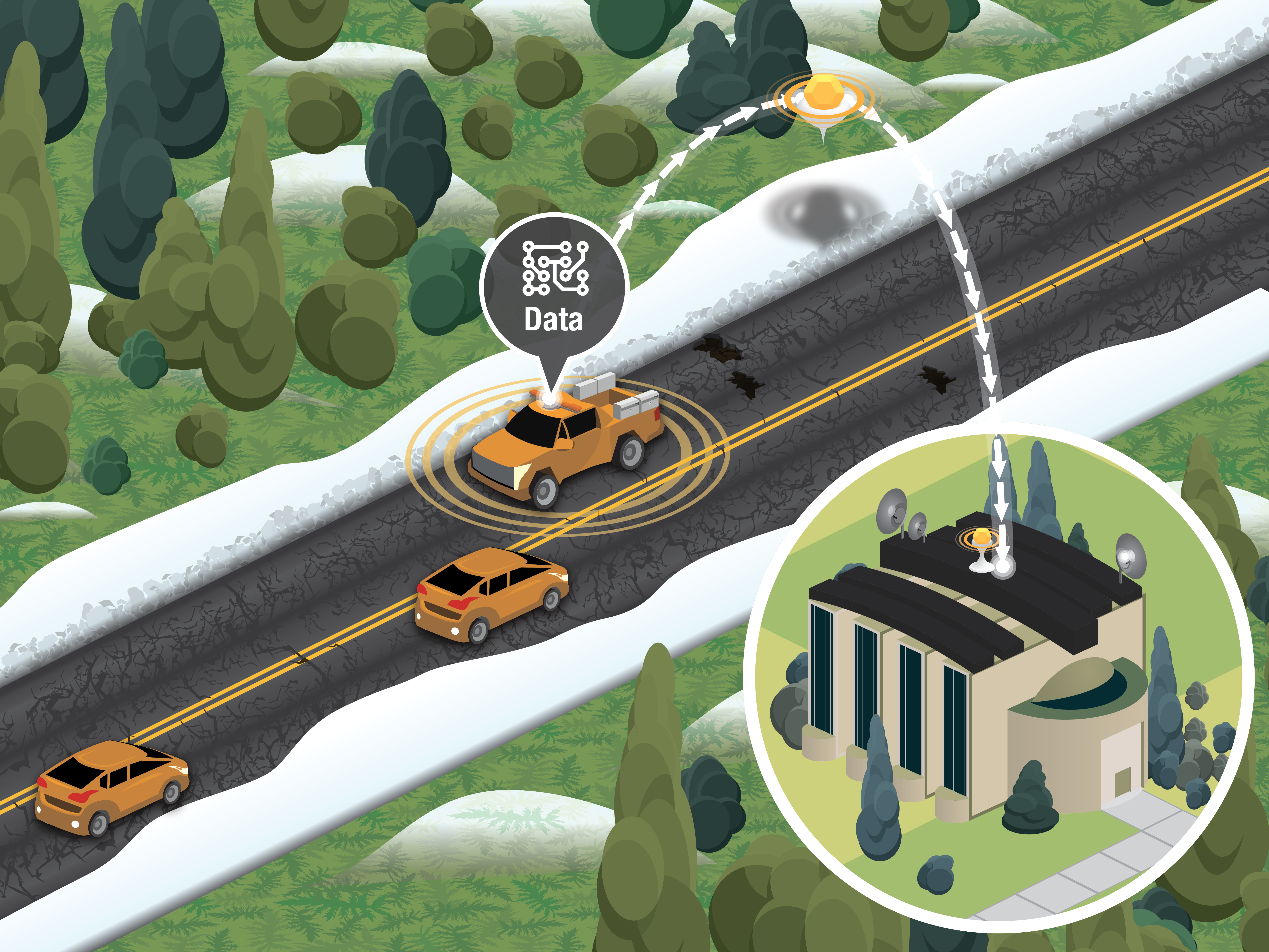
19. Connected Vehicle Data Transmission
20. Connected Vehicle Infrastructure Communication
21. Connected Vehicle Single Car White
22. Connected Vehicle Back Side
23. Connected Vehicle Front Side
24. Advantages of Connected Vehicles
25. Connected Vehicle City Background
26. Connected Vehicle Console Warning
27. Multimodal Connected Vehicles
28. Connected Vehicle Dashboard Warning
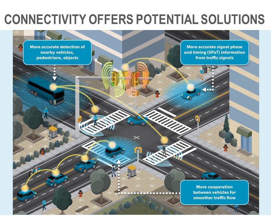
31. Connectivity Offers Potential Solutions
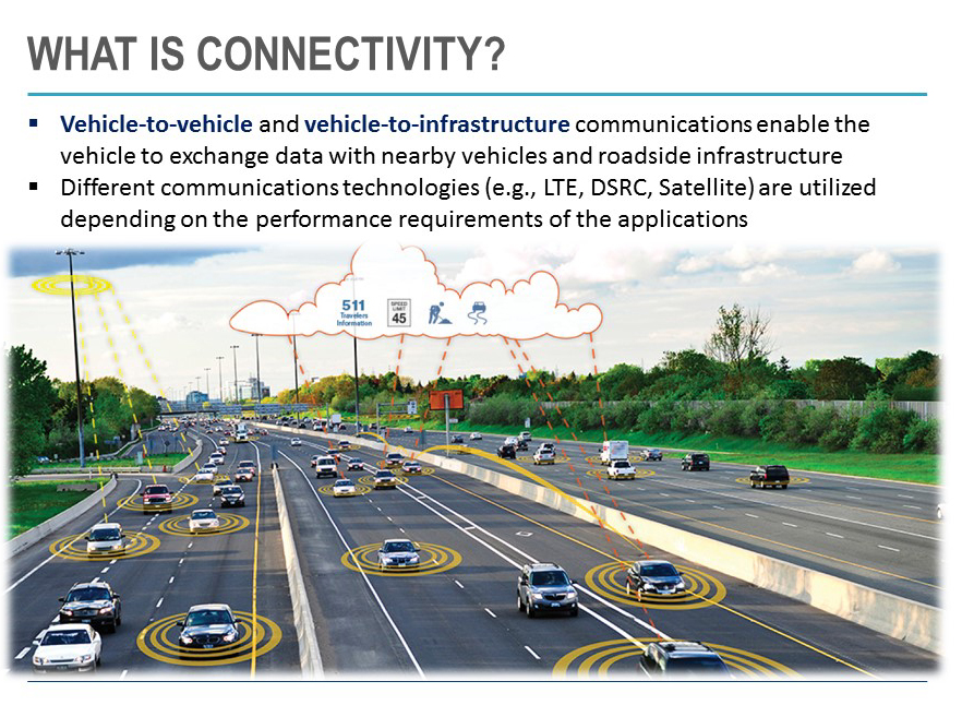
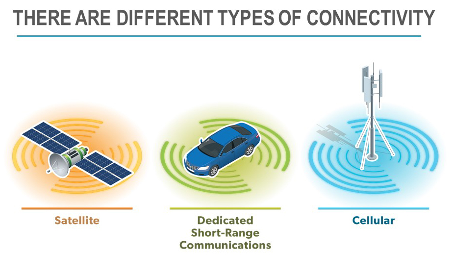
32. There Are Different Types of Connectivity
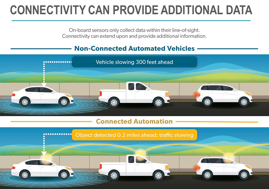
33. Connectivity Can Provide Additional Data
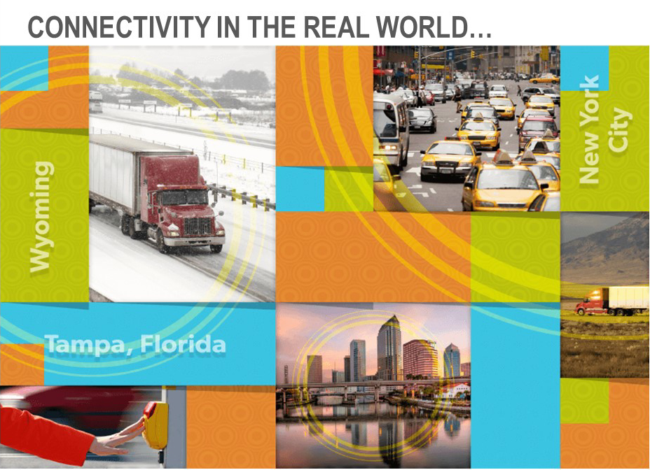
34. Connectivity In The Real World
36. Emerging Technologies
37. Technologies, Strategies, Policies
38. USDOT Artificial Intelligence
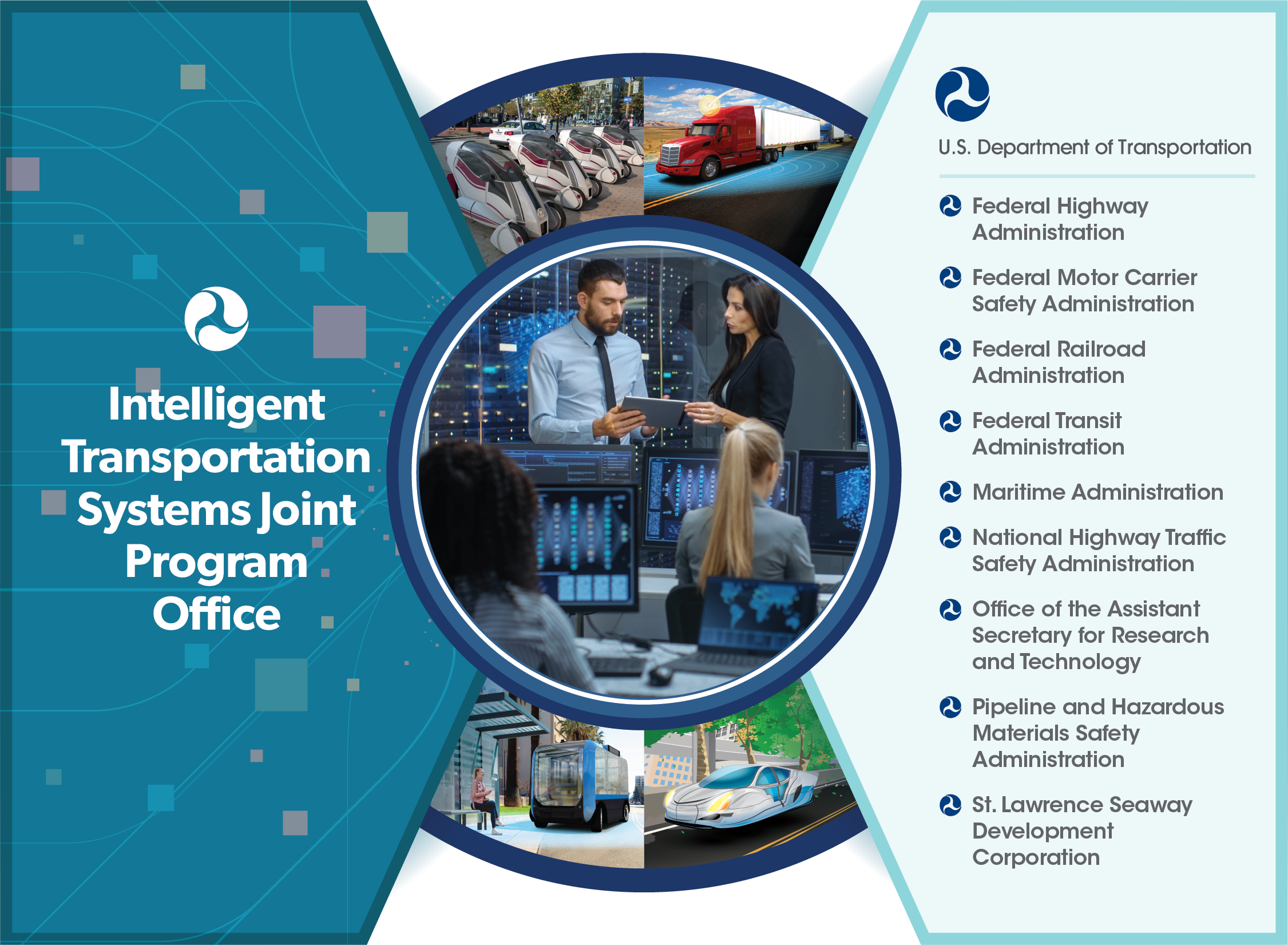
48. ITS JPO is a Partnership
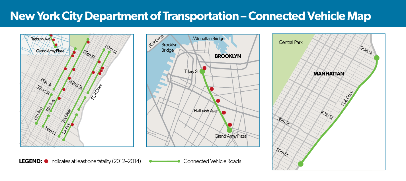
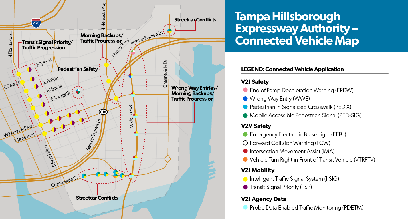
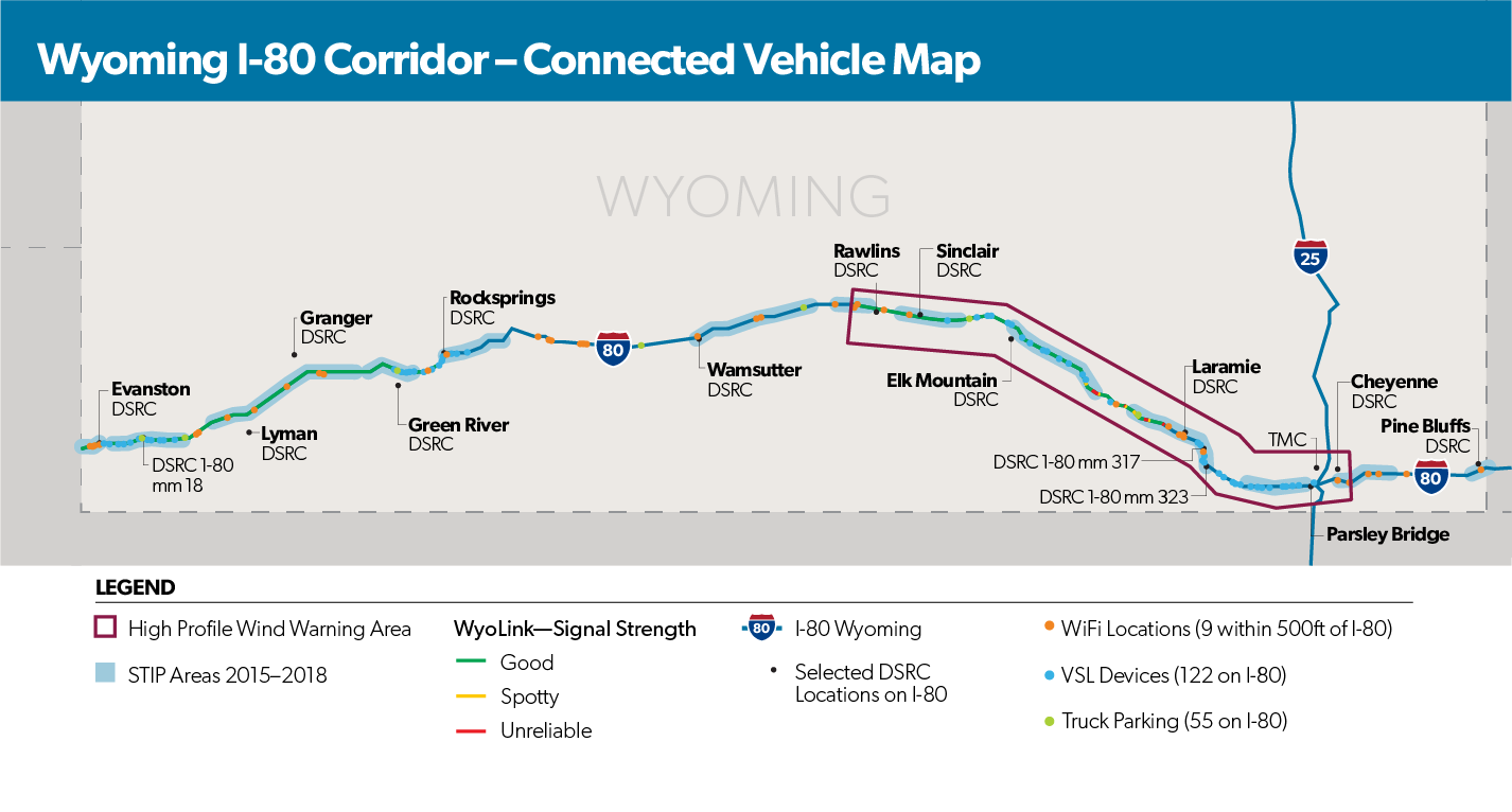
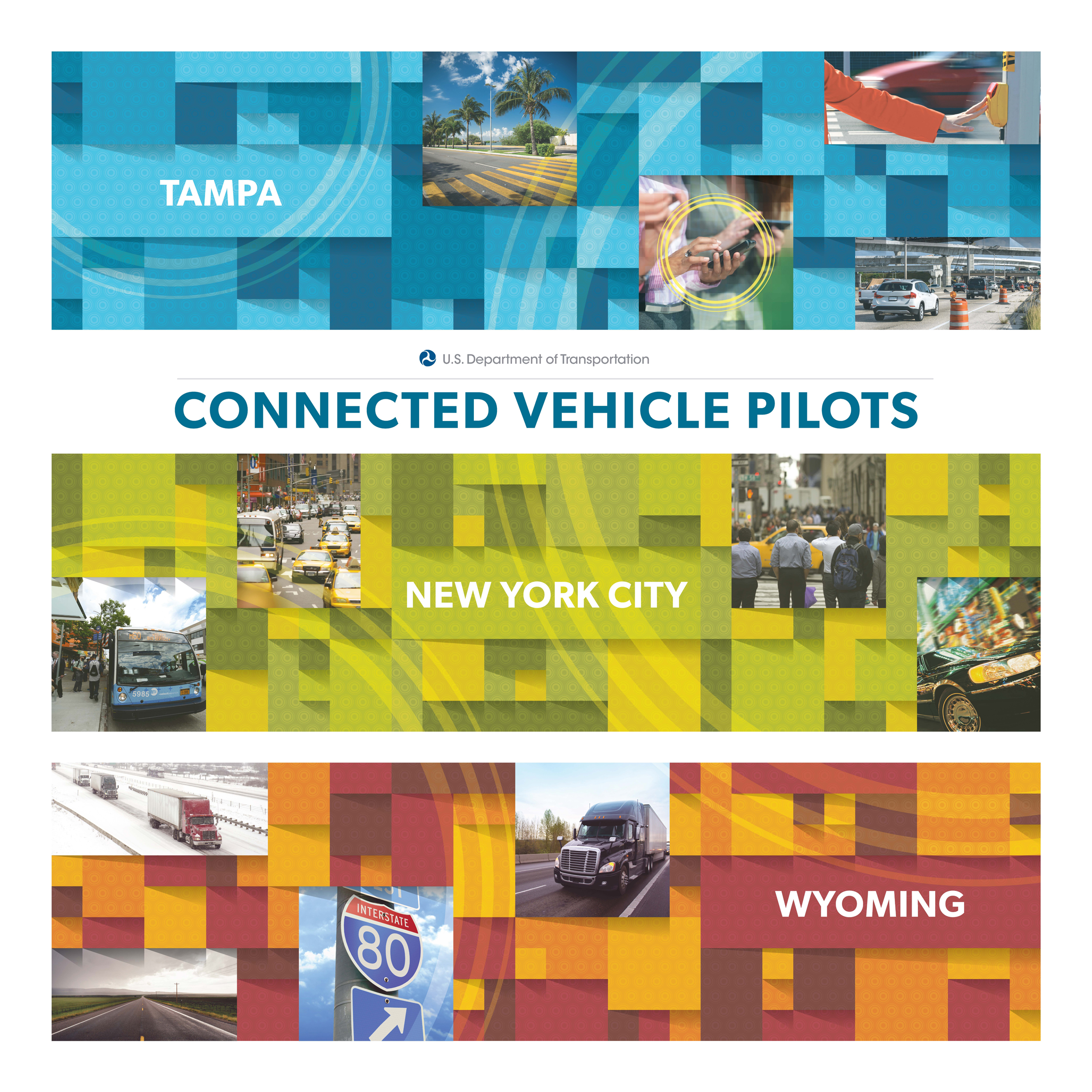
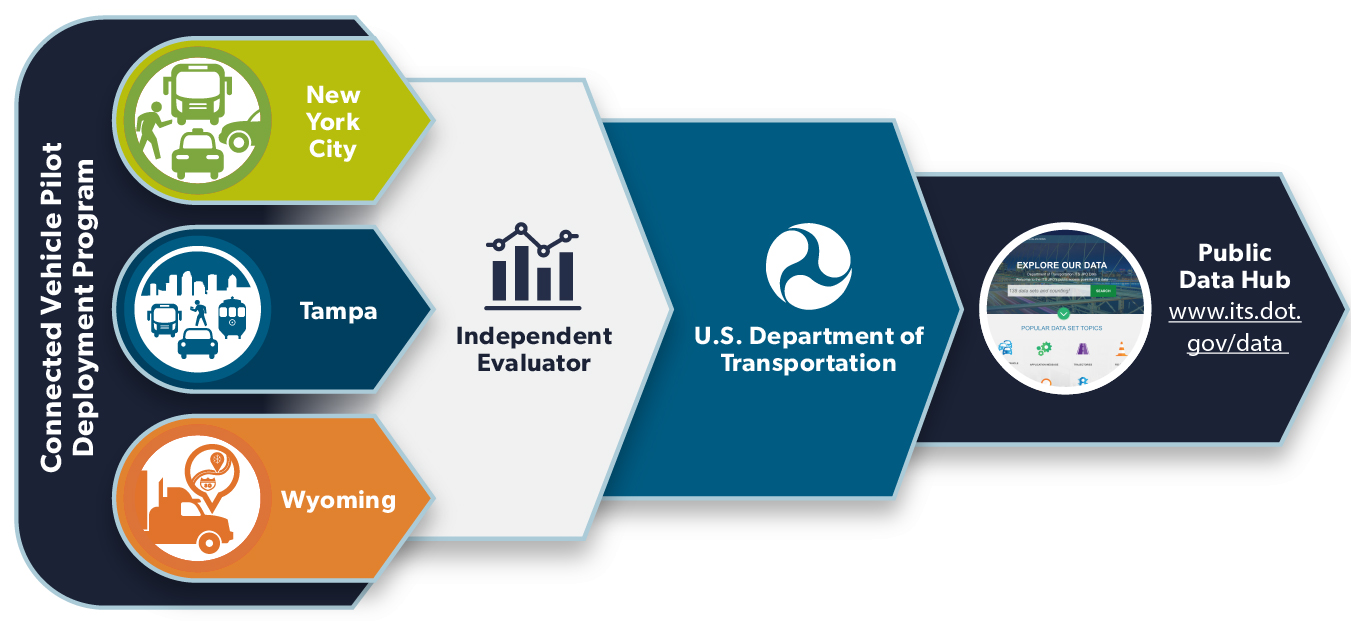
Connected Vehicle Pilots
A series of maps of the Connected Vehicle Pilots
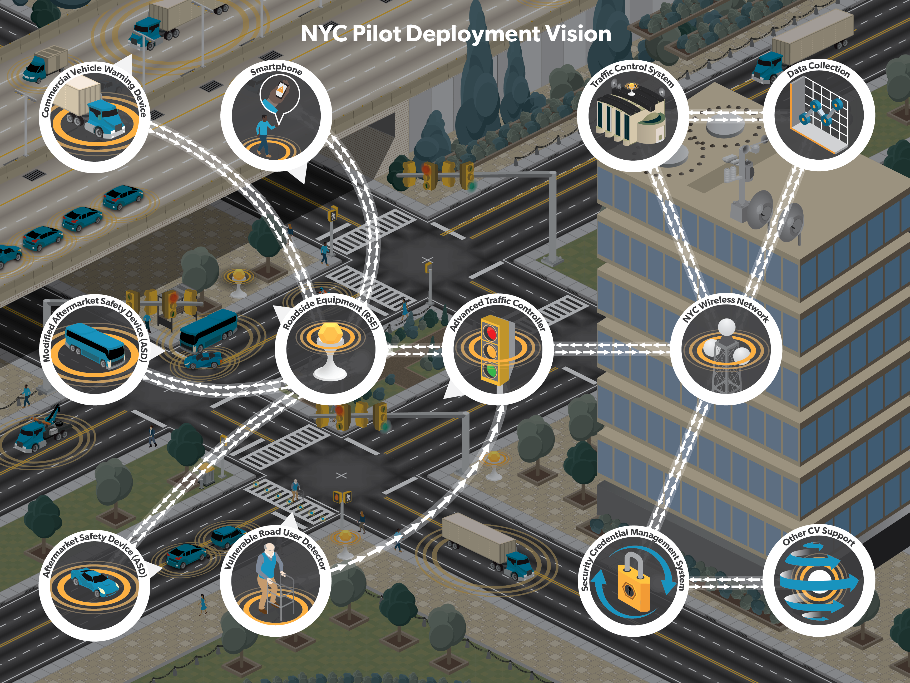
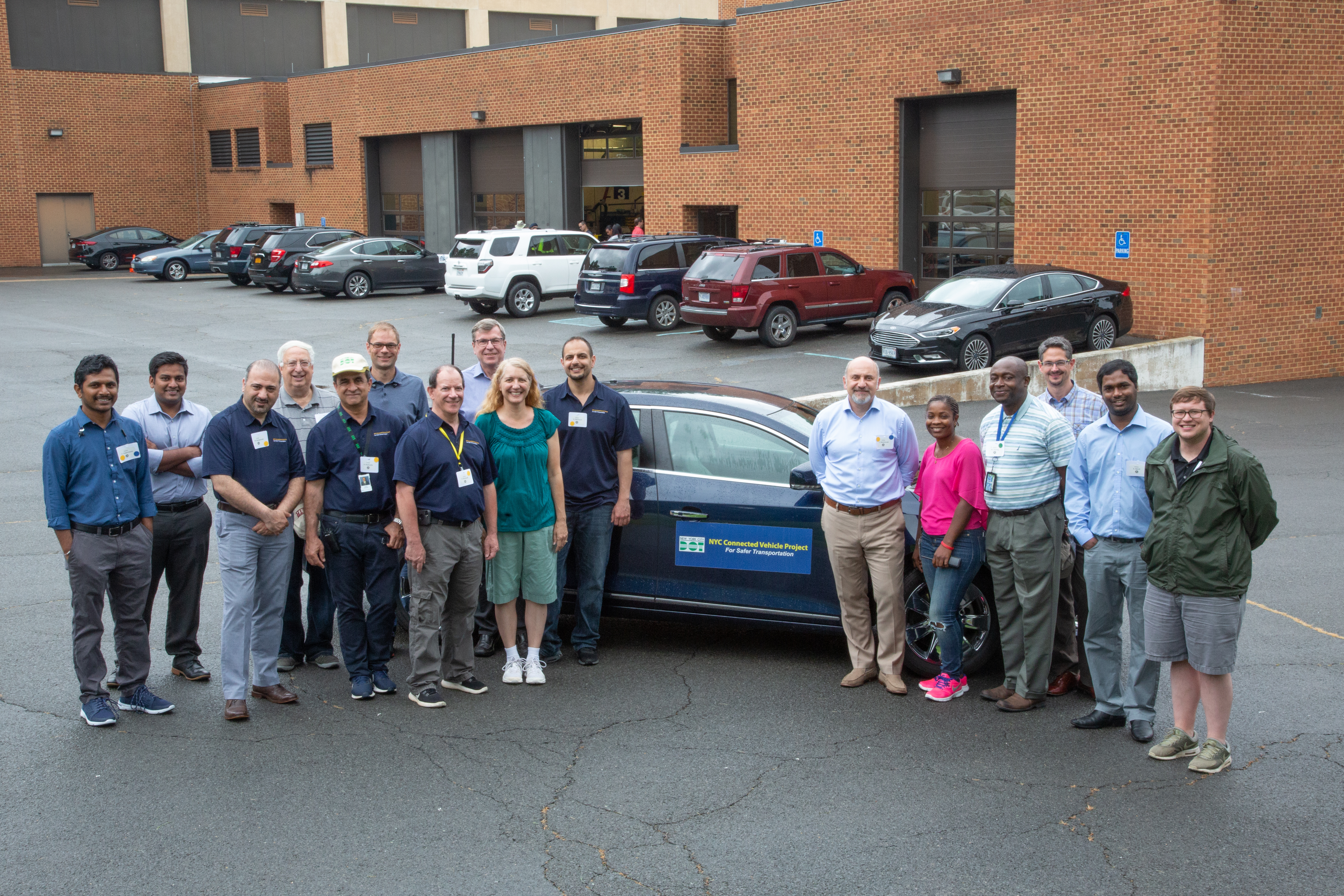
1. New York City Department of Transportation
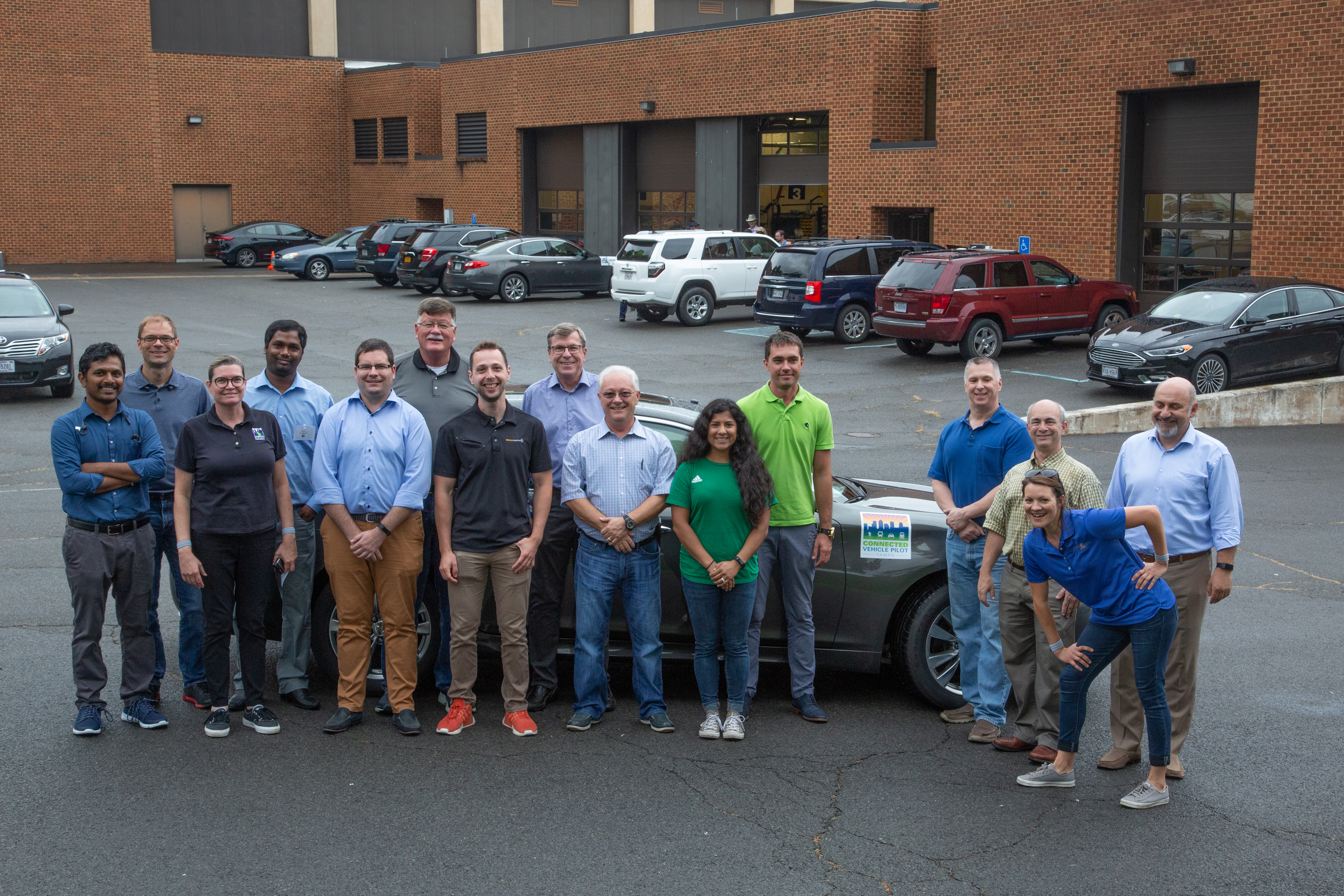
2. Tampa Hillsborough Expressway Authority
5. Connected Vehicle Pilot New York City
6. Connected Vehicle Pilot Tampa
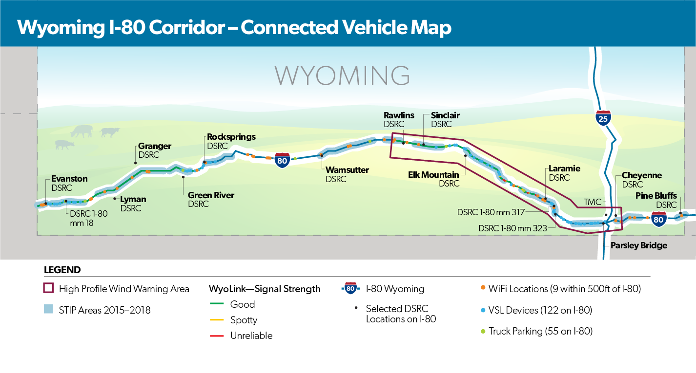
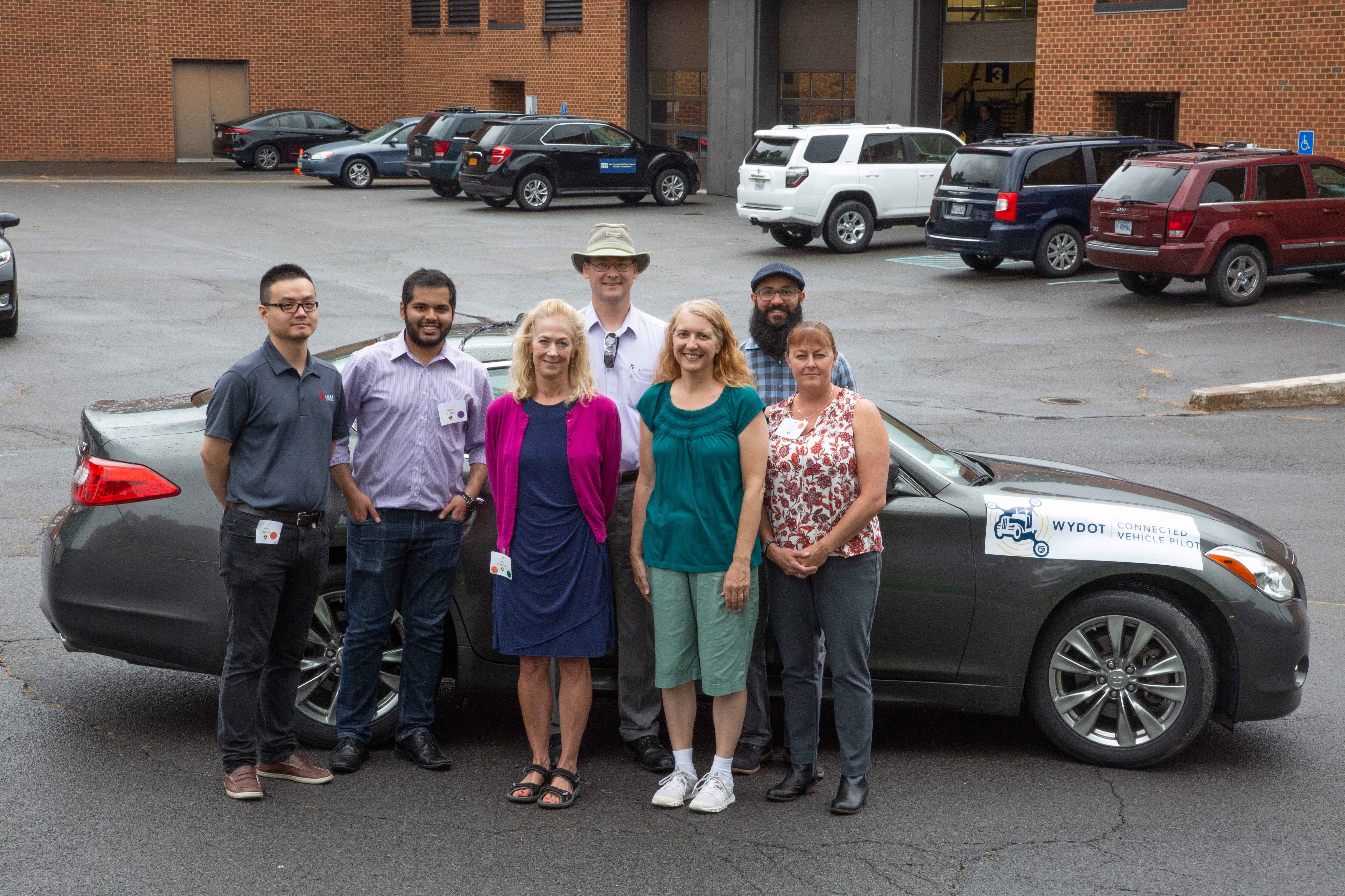
7. Connected Vehicle Pilot Wyoming
Dedicated Short Range Communications (DSRC)
Illustrations demonstrating the use, advantages, and future of DSRC technology.
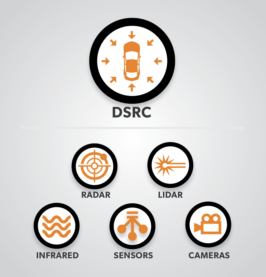
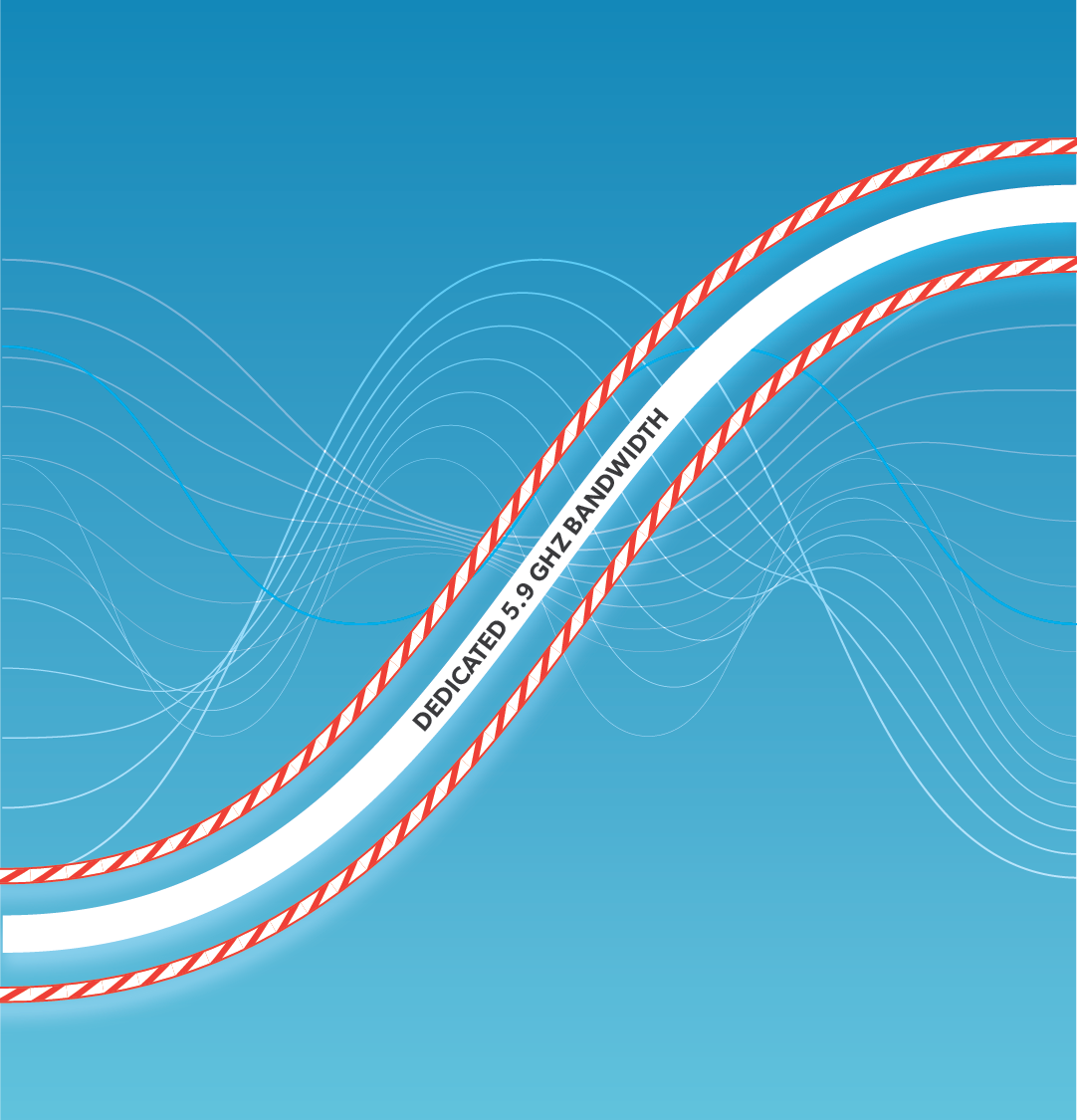
1. DSRC vs. Other Technologies
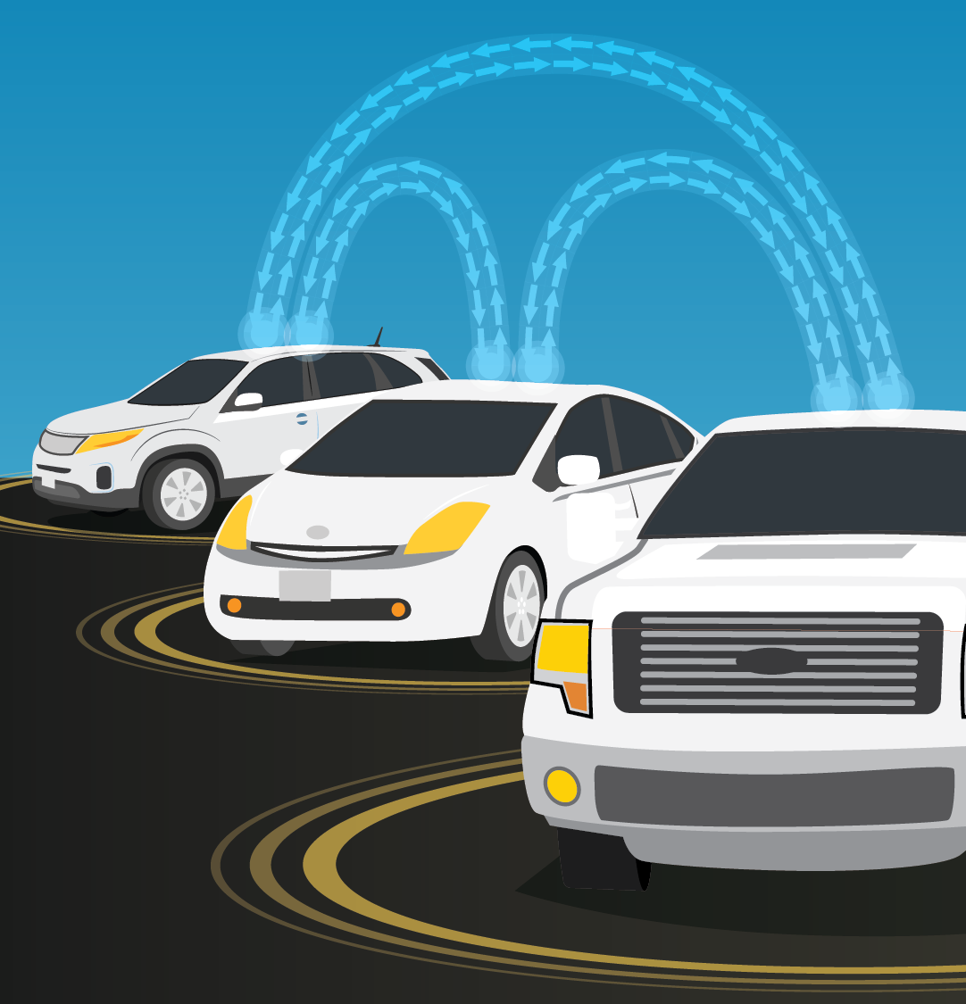
4. Three Vehicles Communicated via DSRC
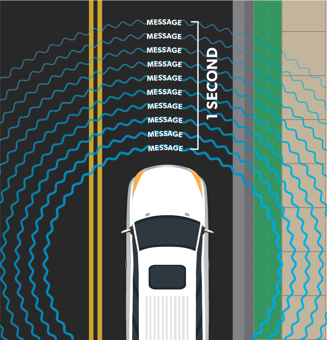
5. Multiple Messages sent Per Second
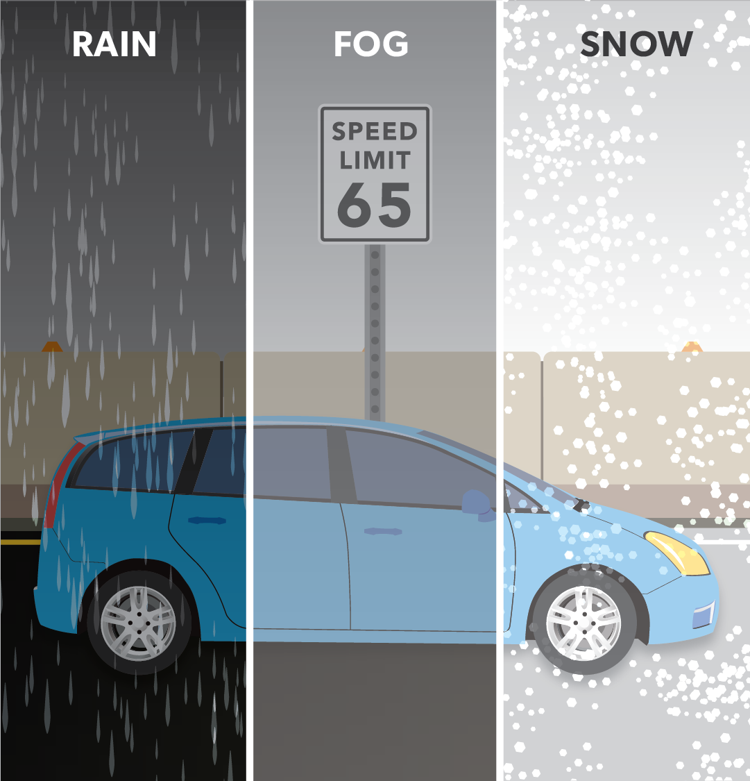
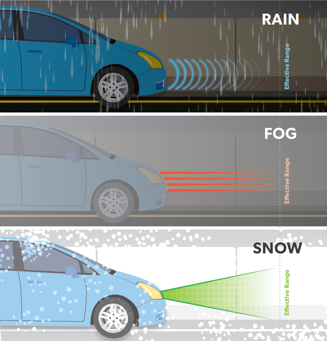
6. DSRC in Rain, Fog, & Snow
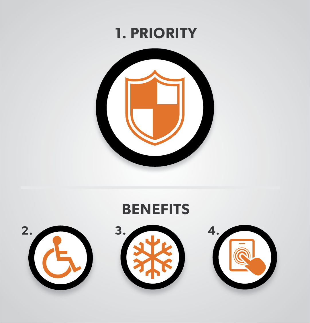
7. Main and Side Benefits of DSRC
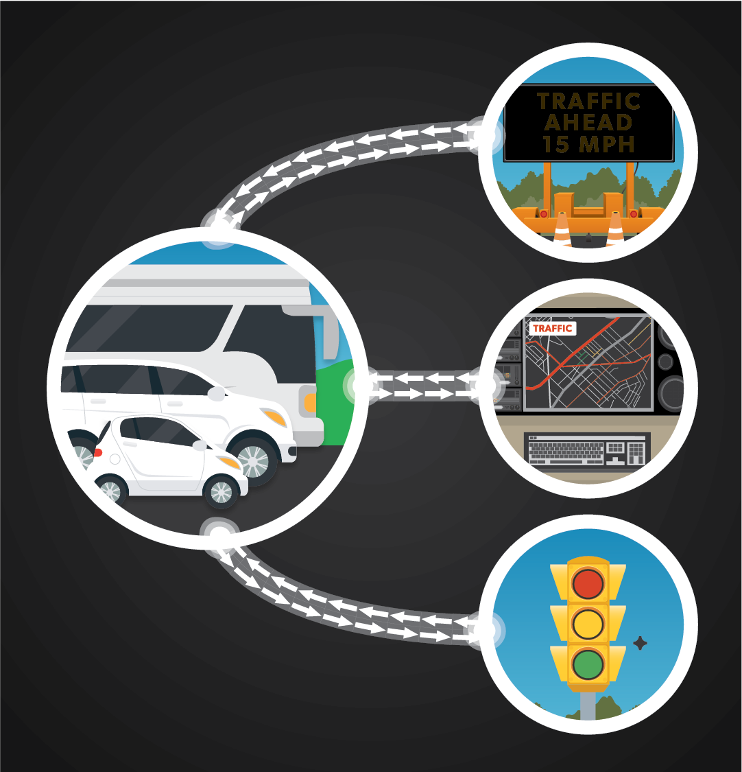
8. DSRC Infrastructure Connection
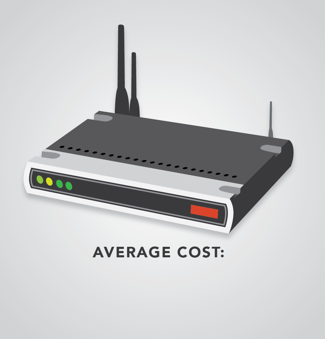
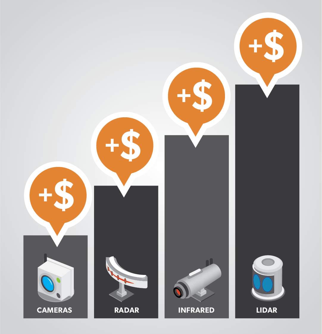
11. Competing Technologies Price Comparison
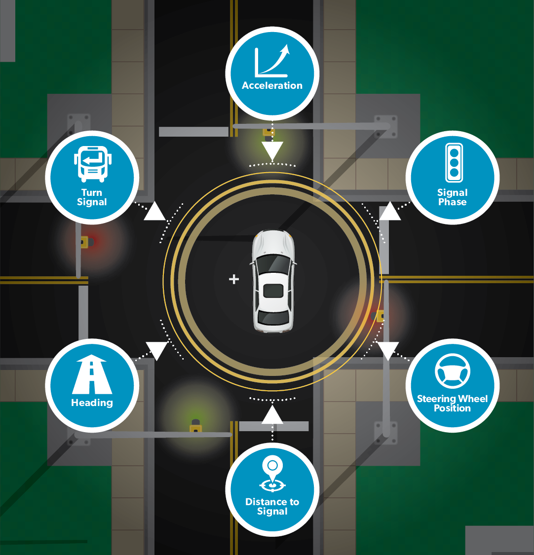
12. Types of Information DSRC Shares
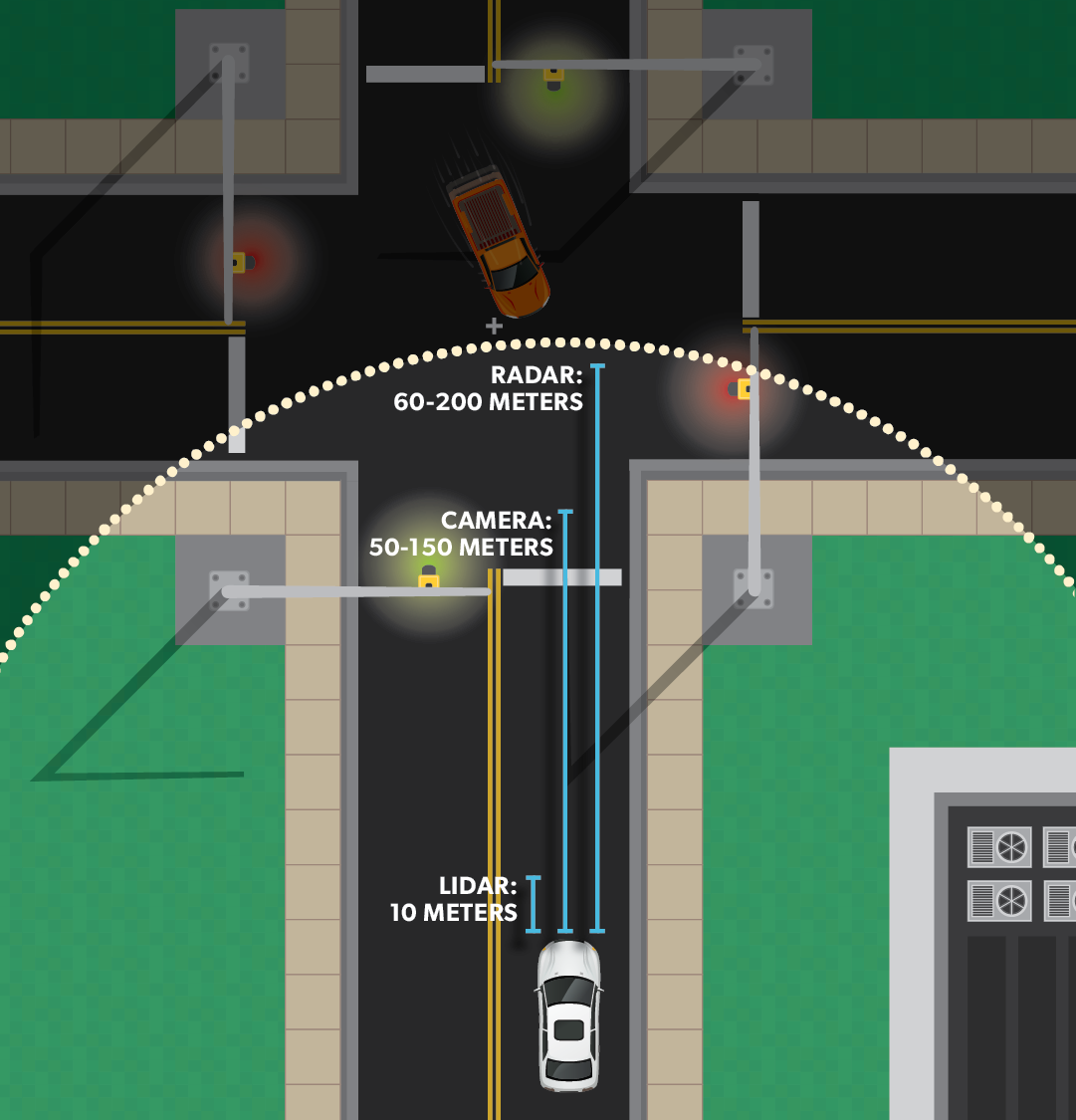
13. CV Sensors in Different Weather Conditions
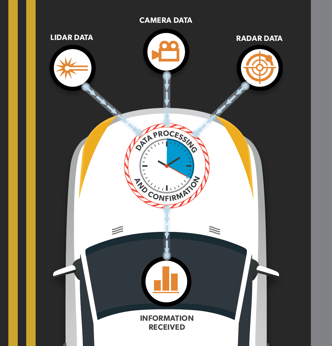
14. Information Data Processing and Confirmation
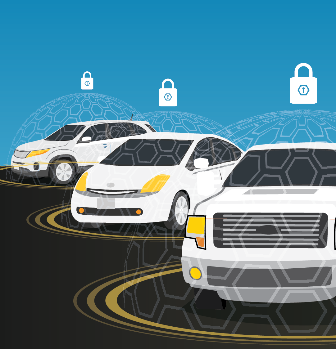
15. Three Secured Connected Vehicles
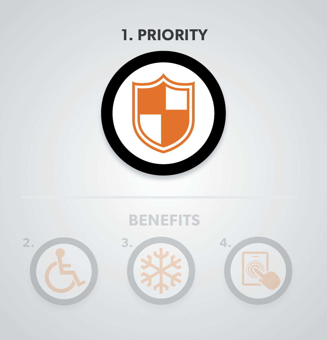
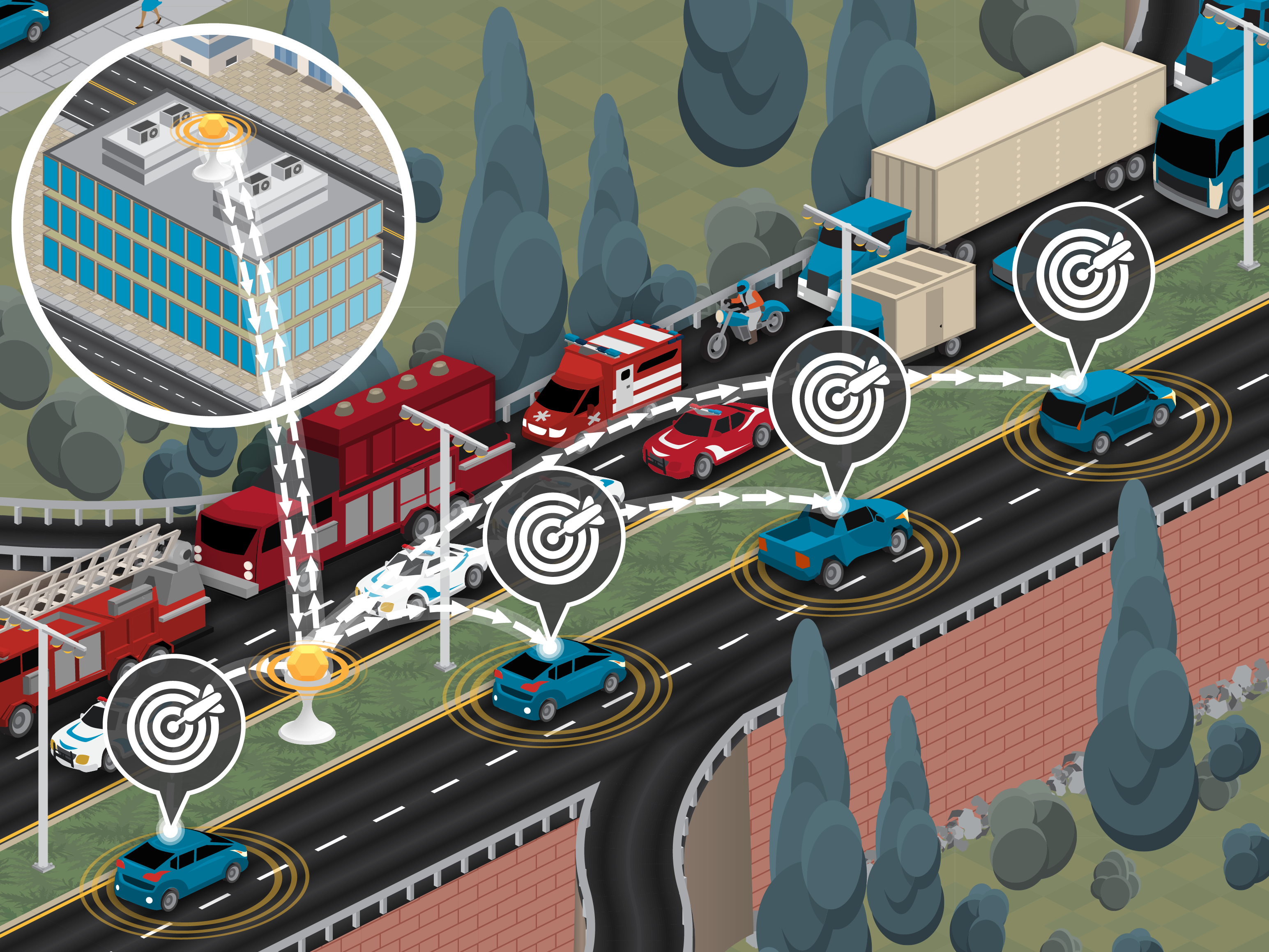
16. Safety and Security First Priority
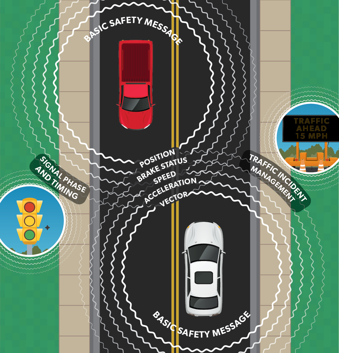
17. Information Received via DSRC
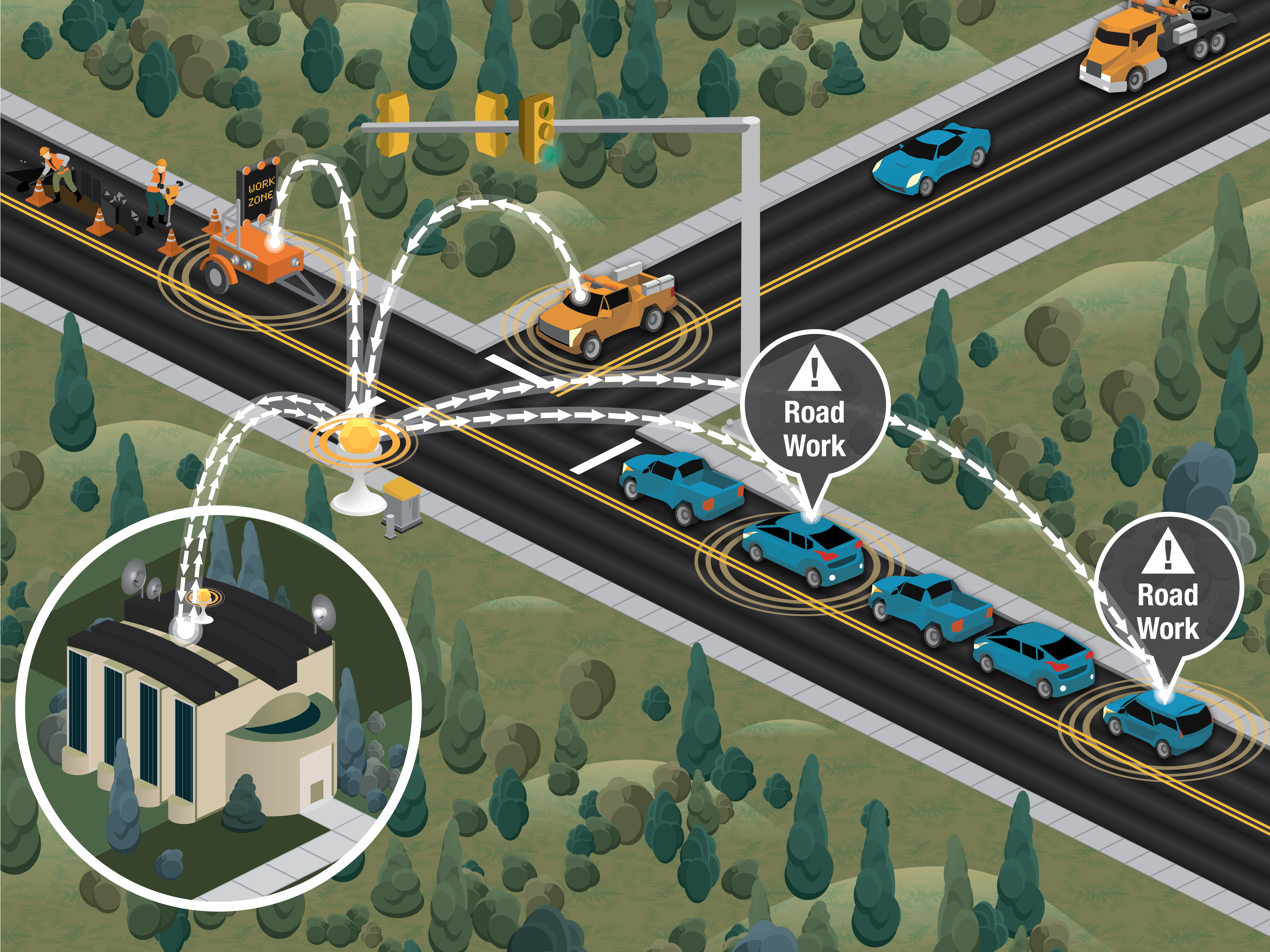
18. Connected Vehicles Communicating with Infrastructure
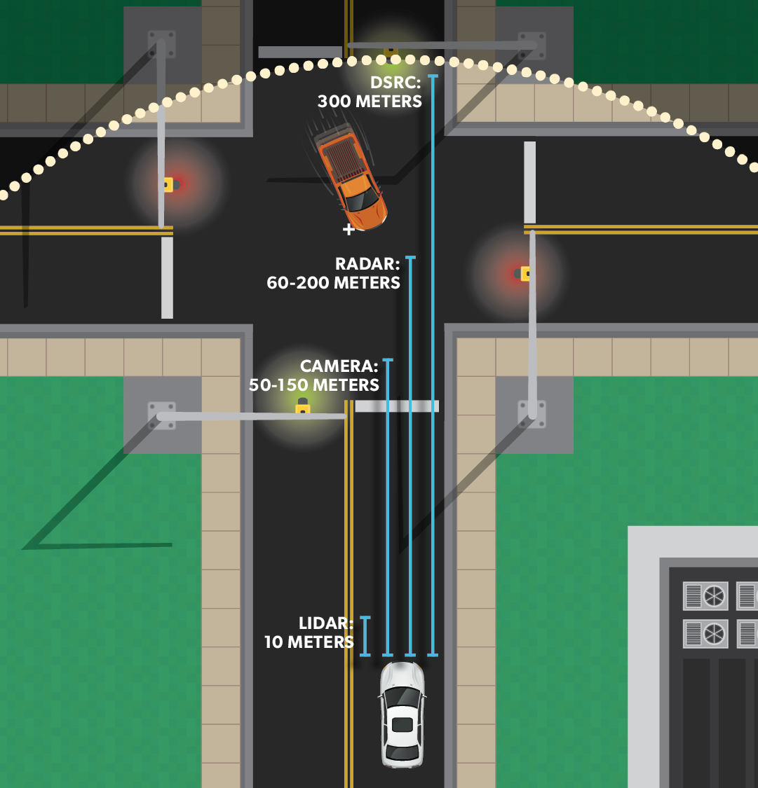
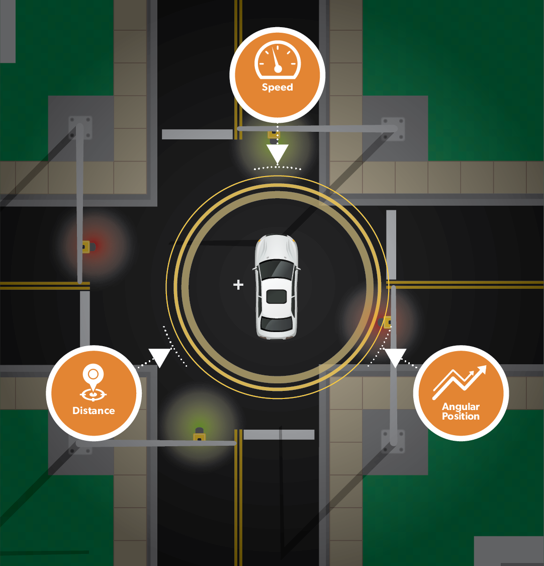
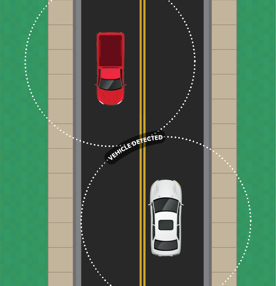
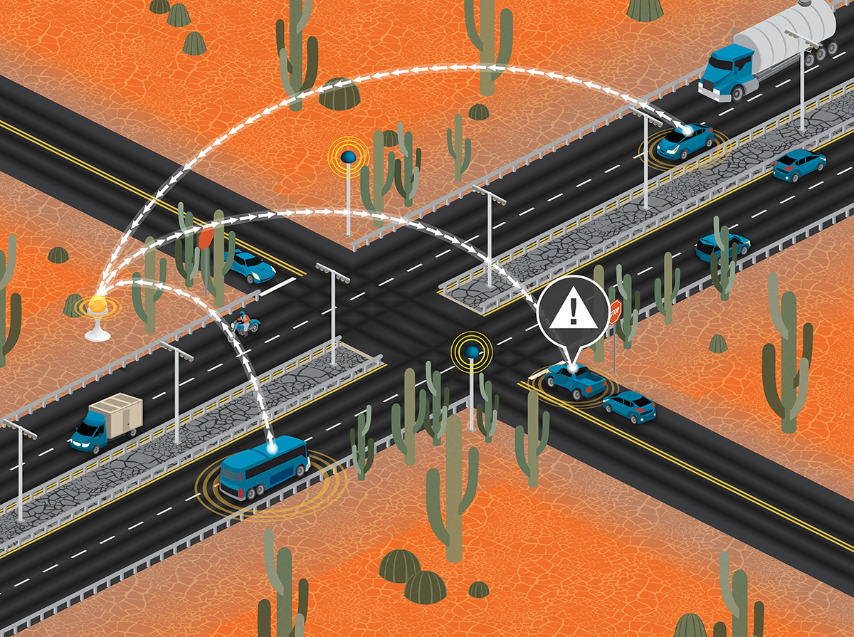
19. Connected Vehicle Detection Limits
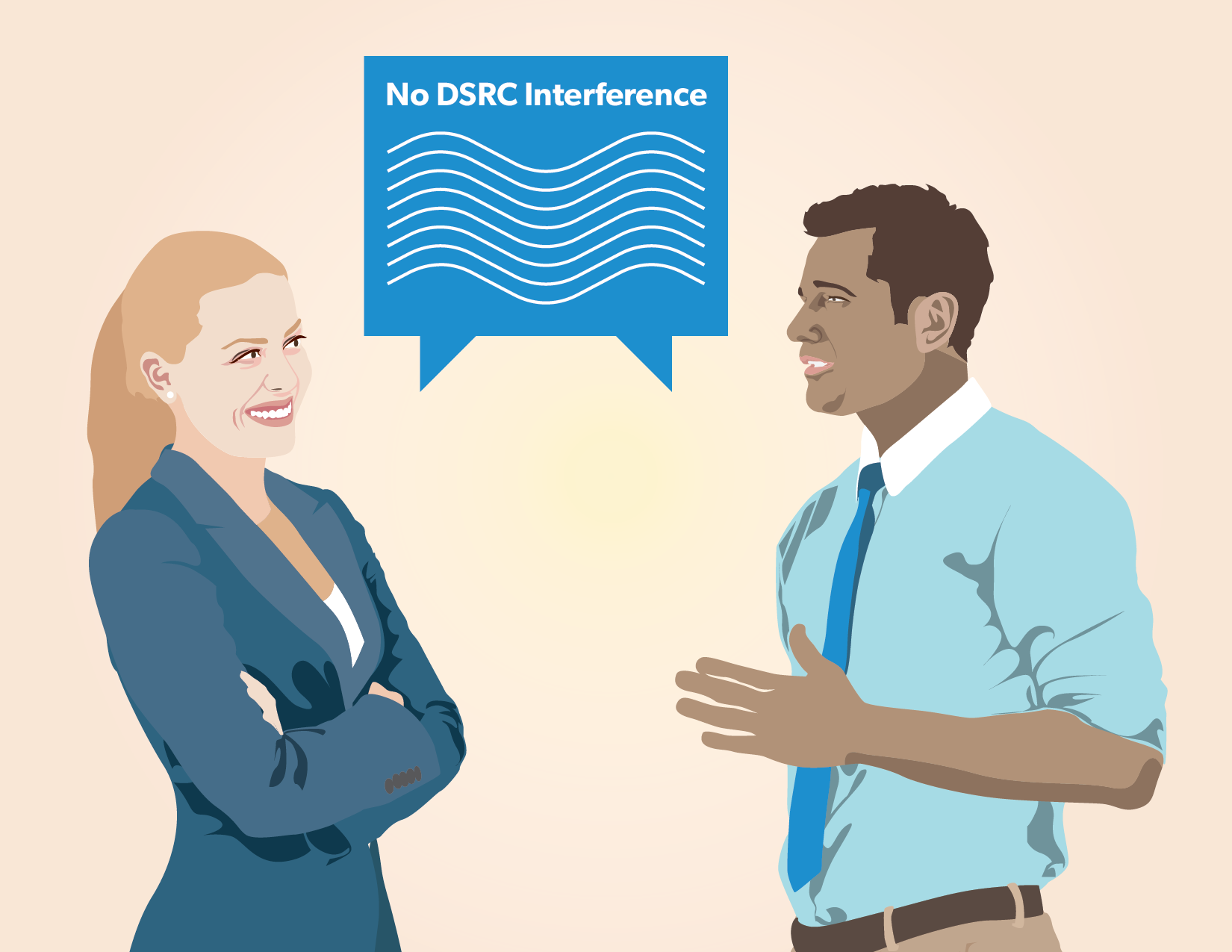
21. Abstract DSRC without Interference
22. Abstract DSRC without Interference
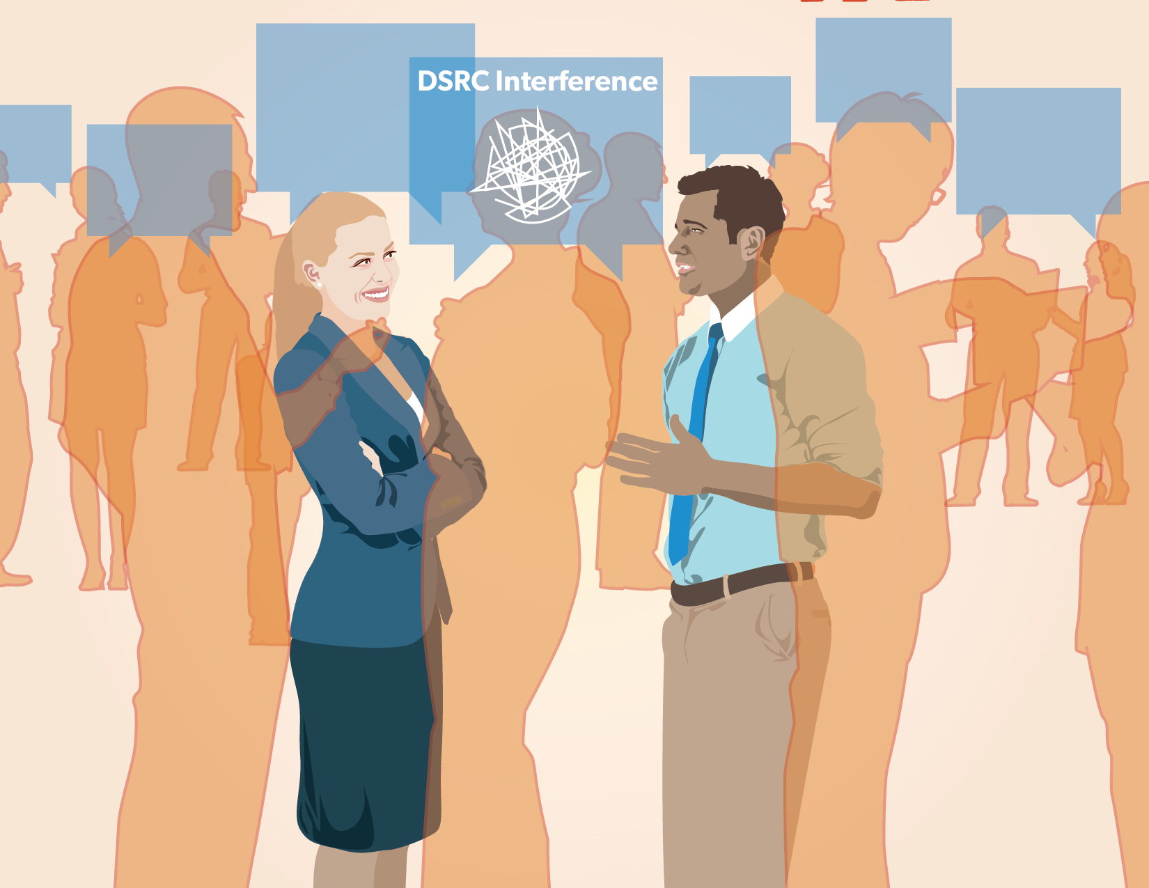
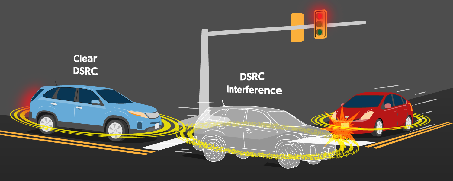
23. Dangers of DSRC Interference
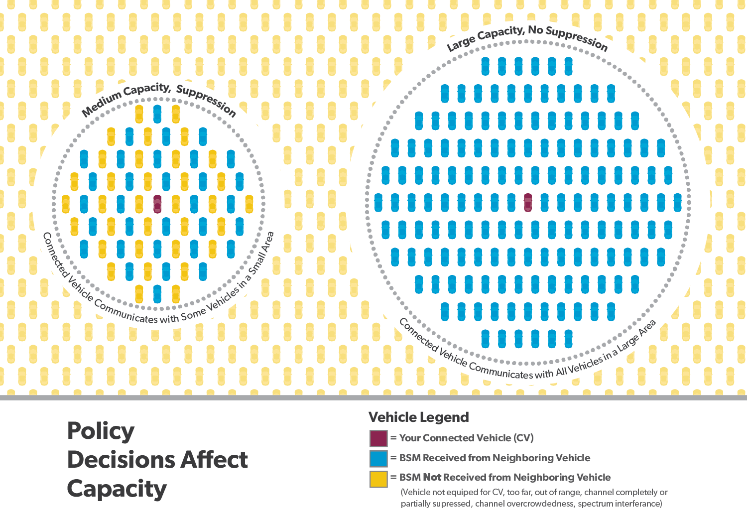
24. Large and Medium Capacity Data Infrastructure
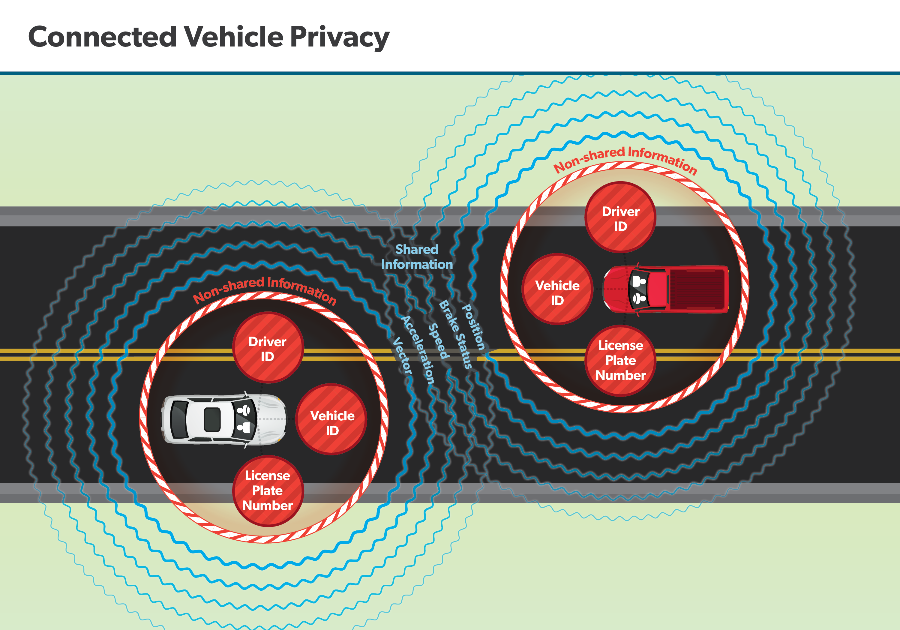
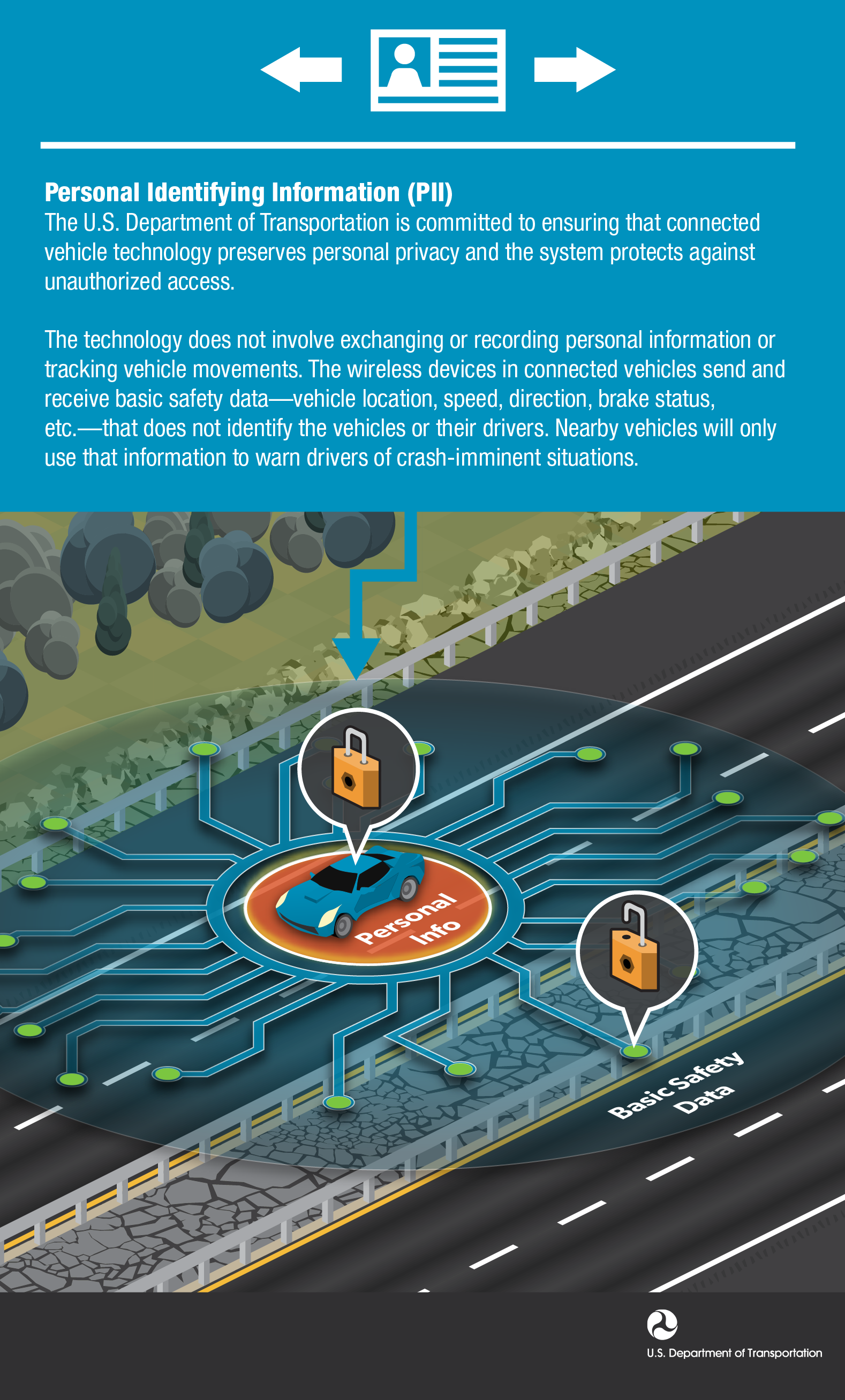
25. Connected Vehicle Privacy
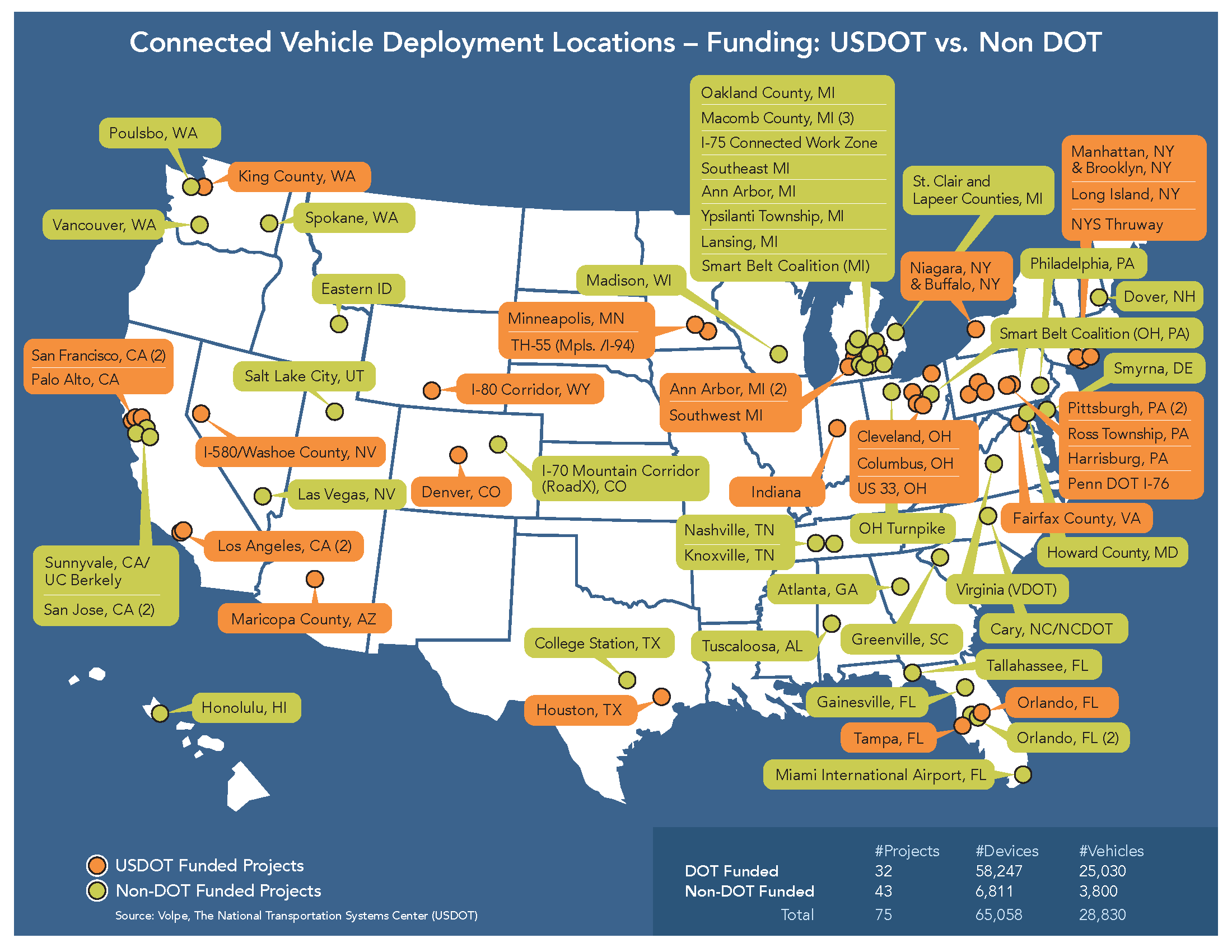
26. Connecte Vehicle Deployment Locations
Infographics
AERIS
Infographics that describe specific ITS technologies that benefit the environment.
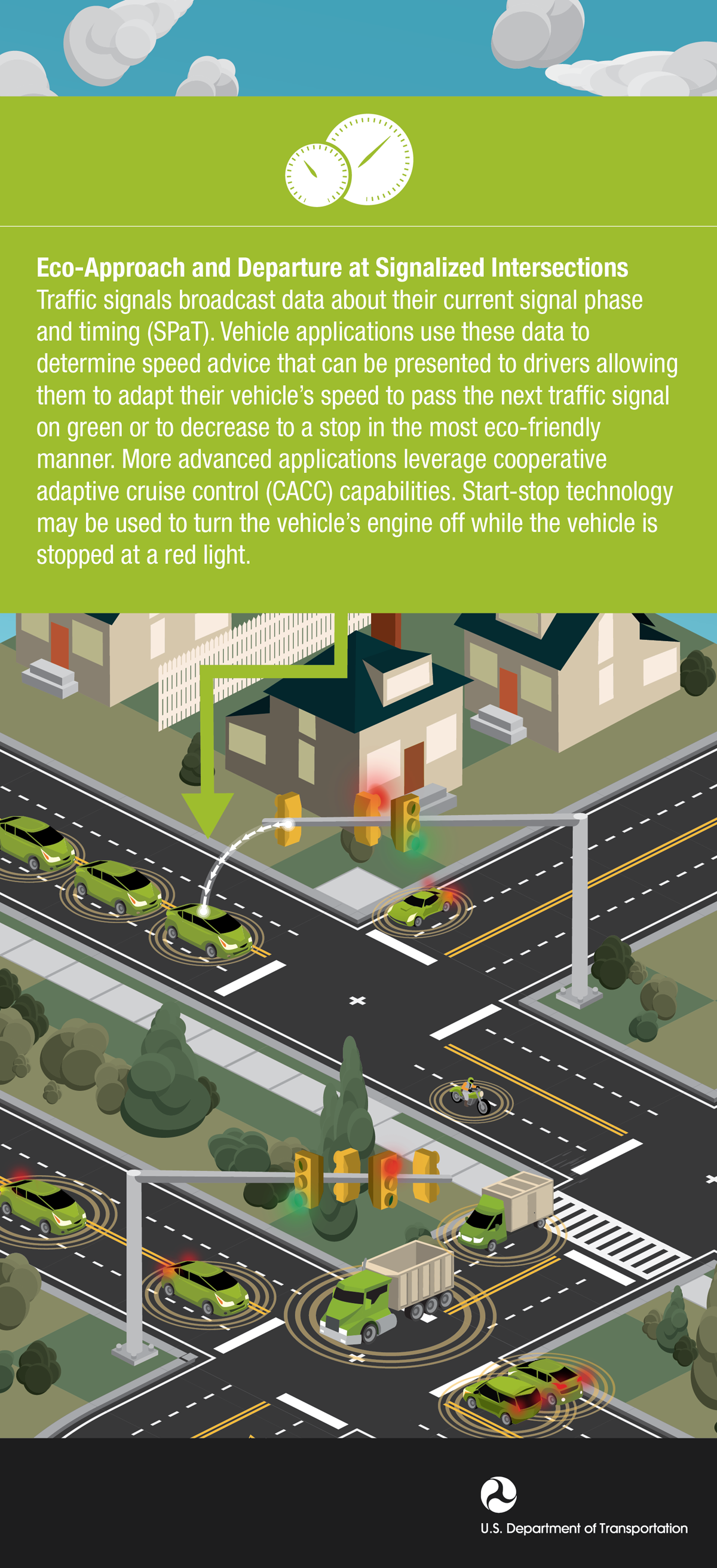
1. Eco Approach and Departure
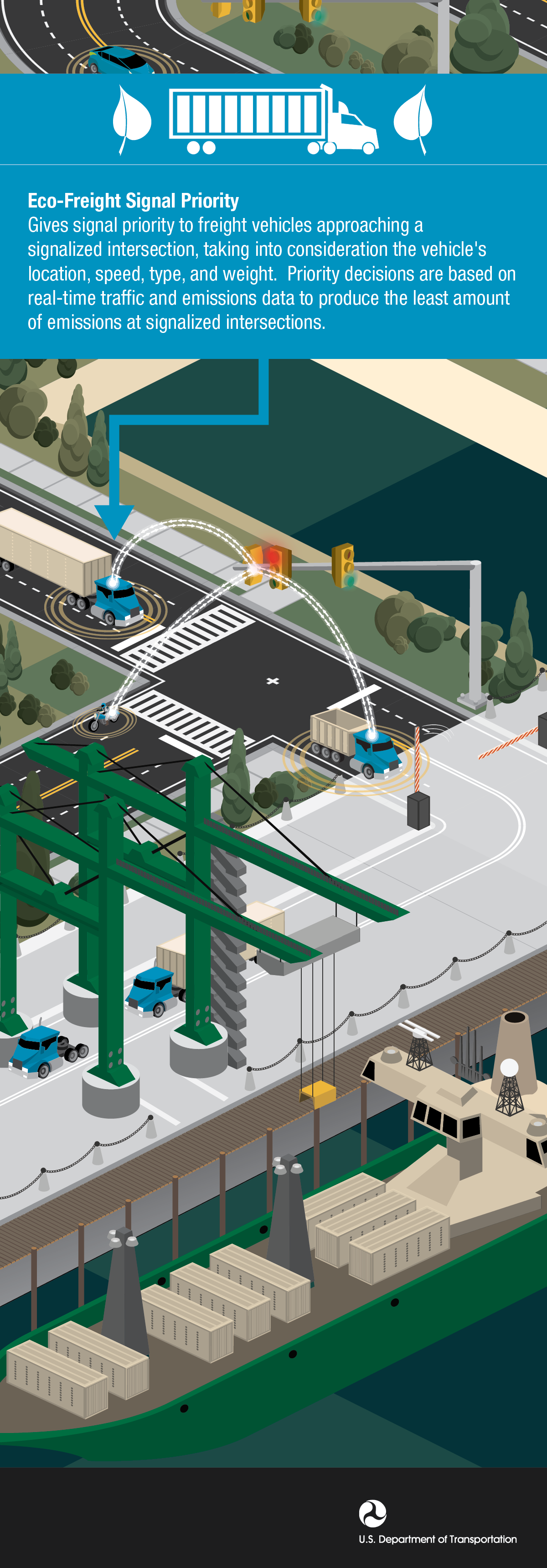
2. Eco Freight Signal Priority
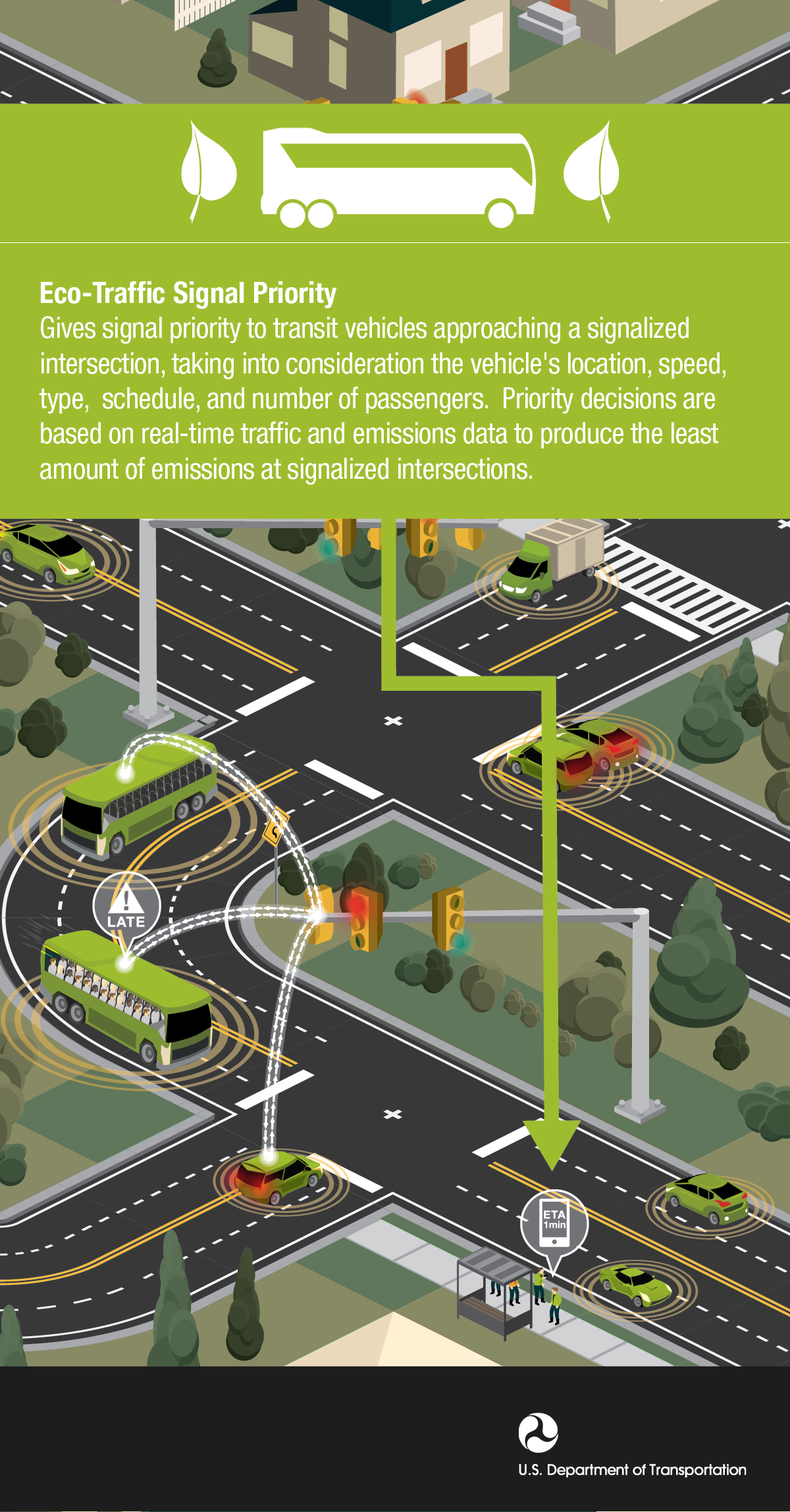
3. Eco Traffic Signal Priority
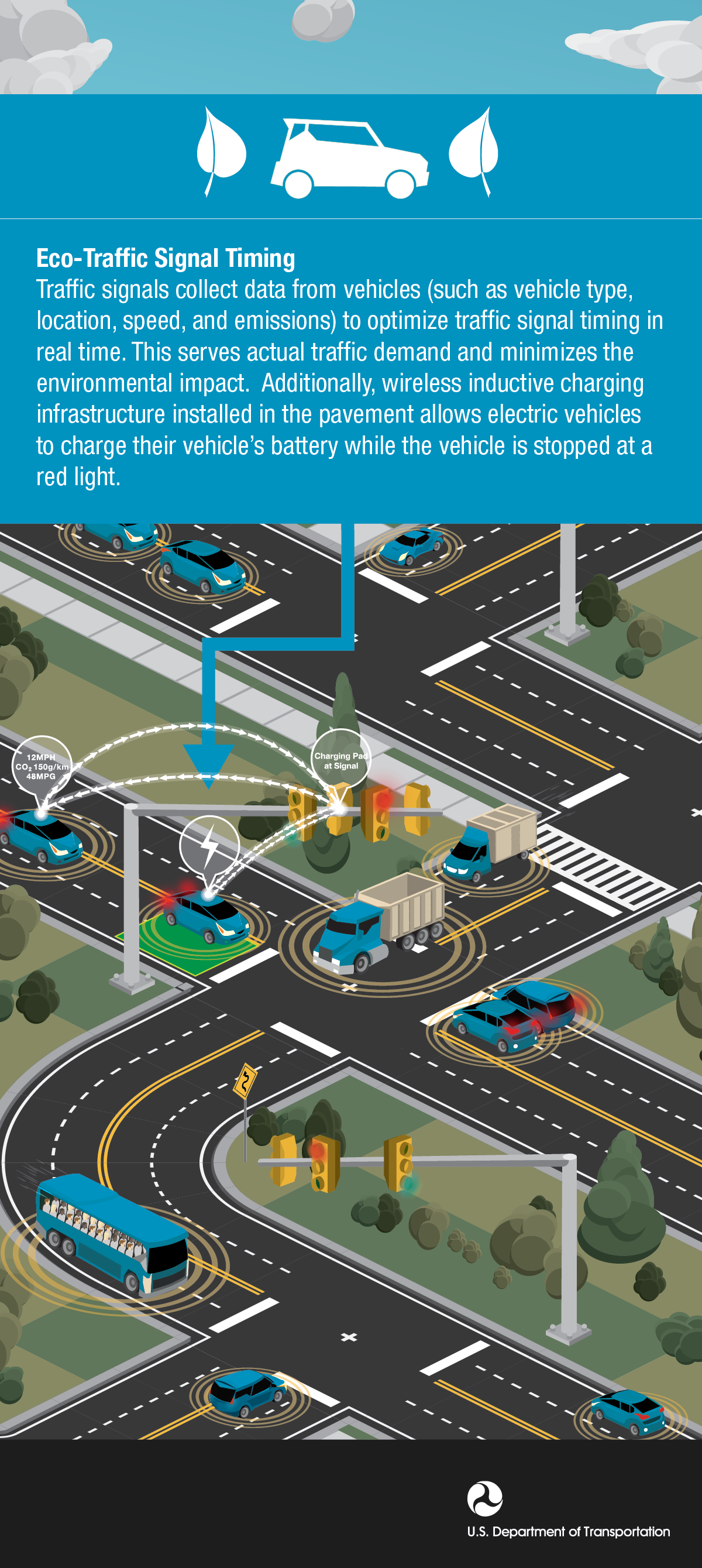
4. Eco Traffic Signal Timing
5. Eco Transit Approach Priority
Infrastructure
Infographics that demonstrate the benefits of comprehensive ITS technology infrastructure.
2. Downtown Traffic Management
3. Downtown Eco Management
4. Dedicated Short Range Communications
5. Rural Traffic Management System
6. Metropolitan Traffic Management System
7. Metropolitan Traffic Congestion Management
8. Productivity Corridor Traffic Management
9. New York City Pilot Infrastructure
10. ICM Speed Harmonization
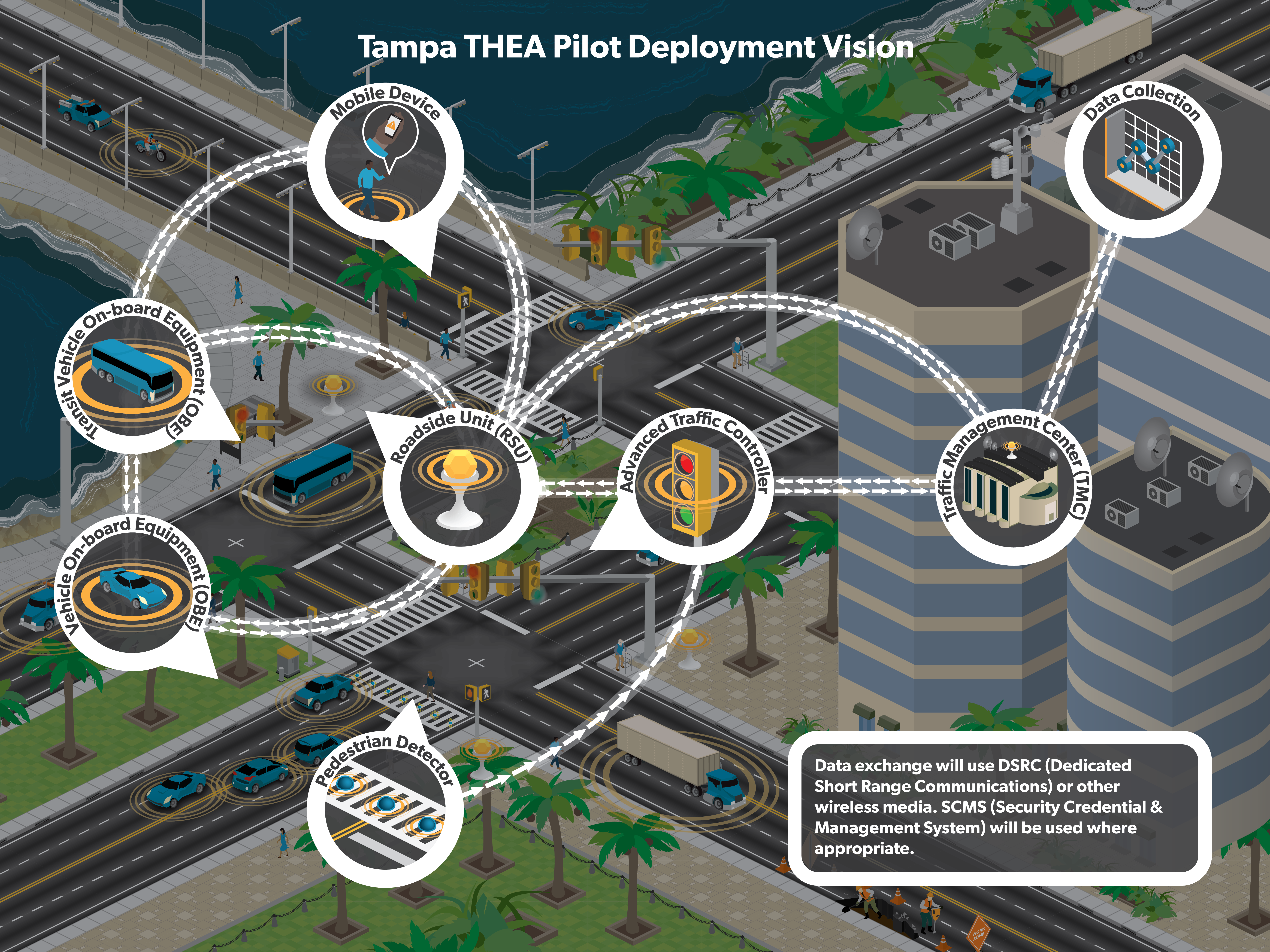
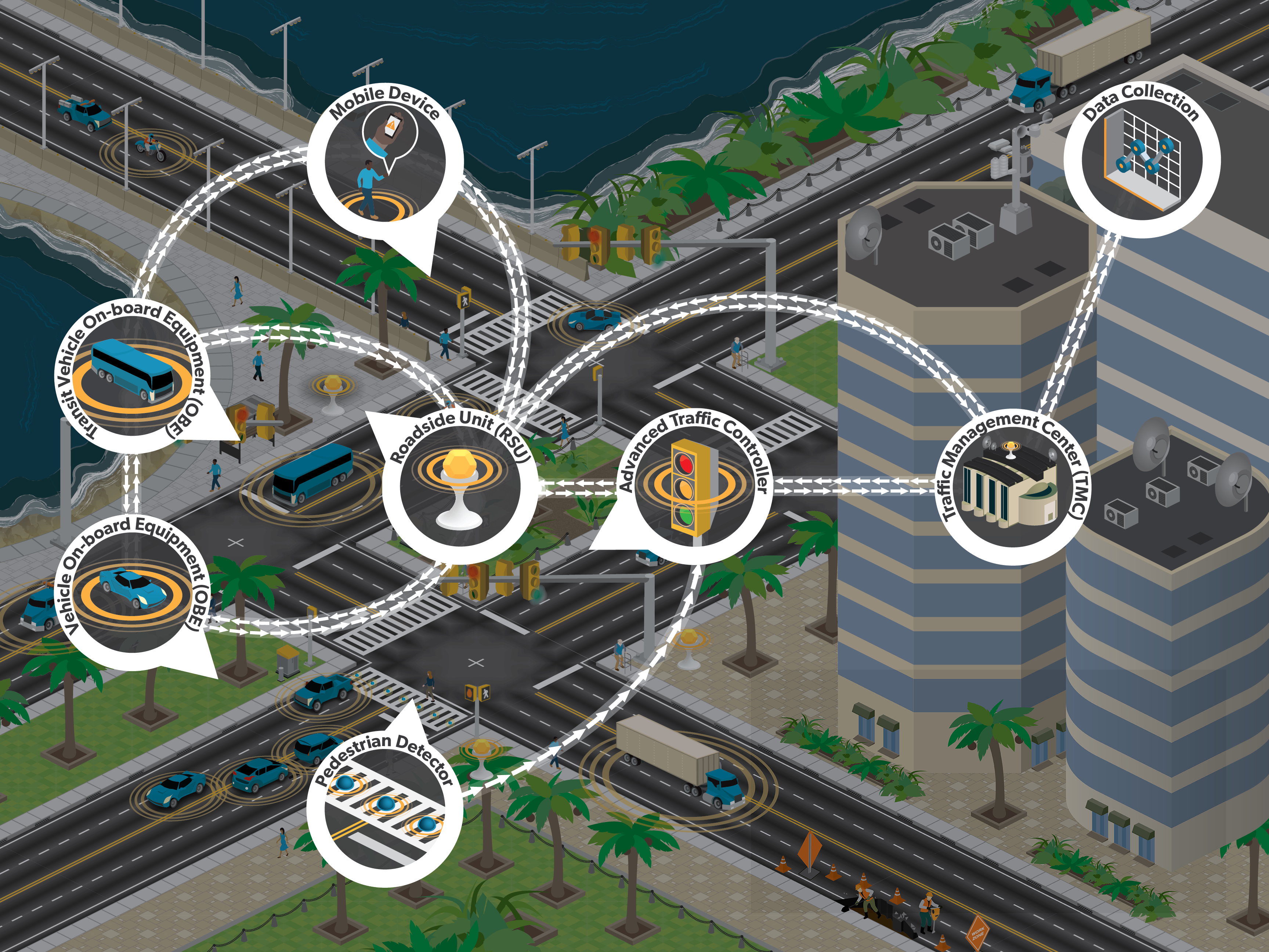
11. Tampa THEA Pilot Infrastructure
12. Tampa THEA Pilot Infrastructure
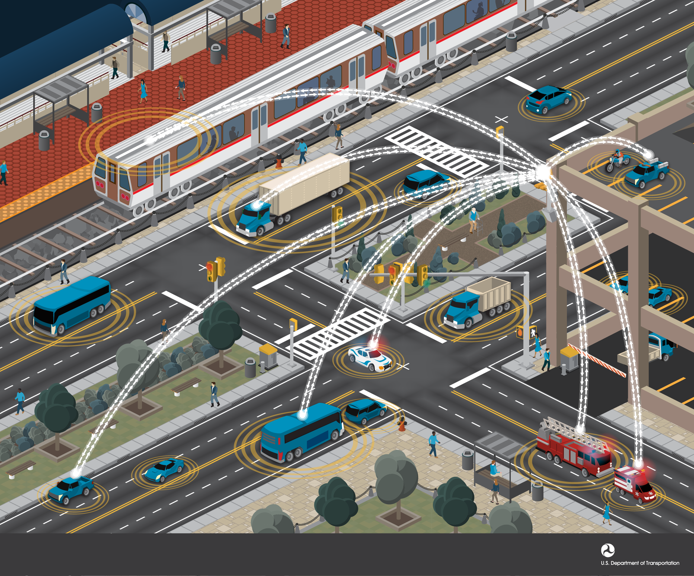
13. Multi Modal Wireless Connectivity
14. TMC Freight Carrier Applications
Integrated Corridor Management (ICM)
A series of infographics that demonstrate the benefits of ICM
1. Integrated Corridor Management One
2. Integrated Corridor Management Two
3. Integrated Corridor Management Three
4. Integrated Corridor Management Four
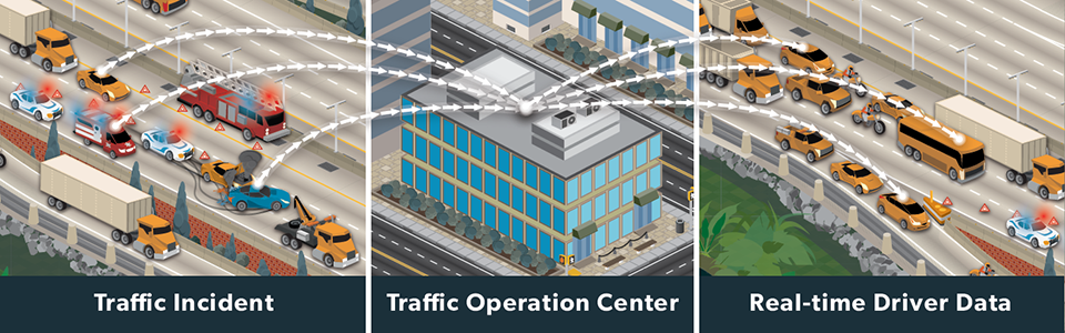
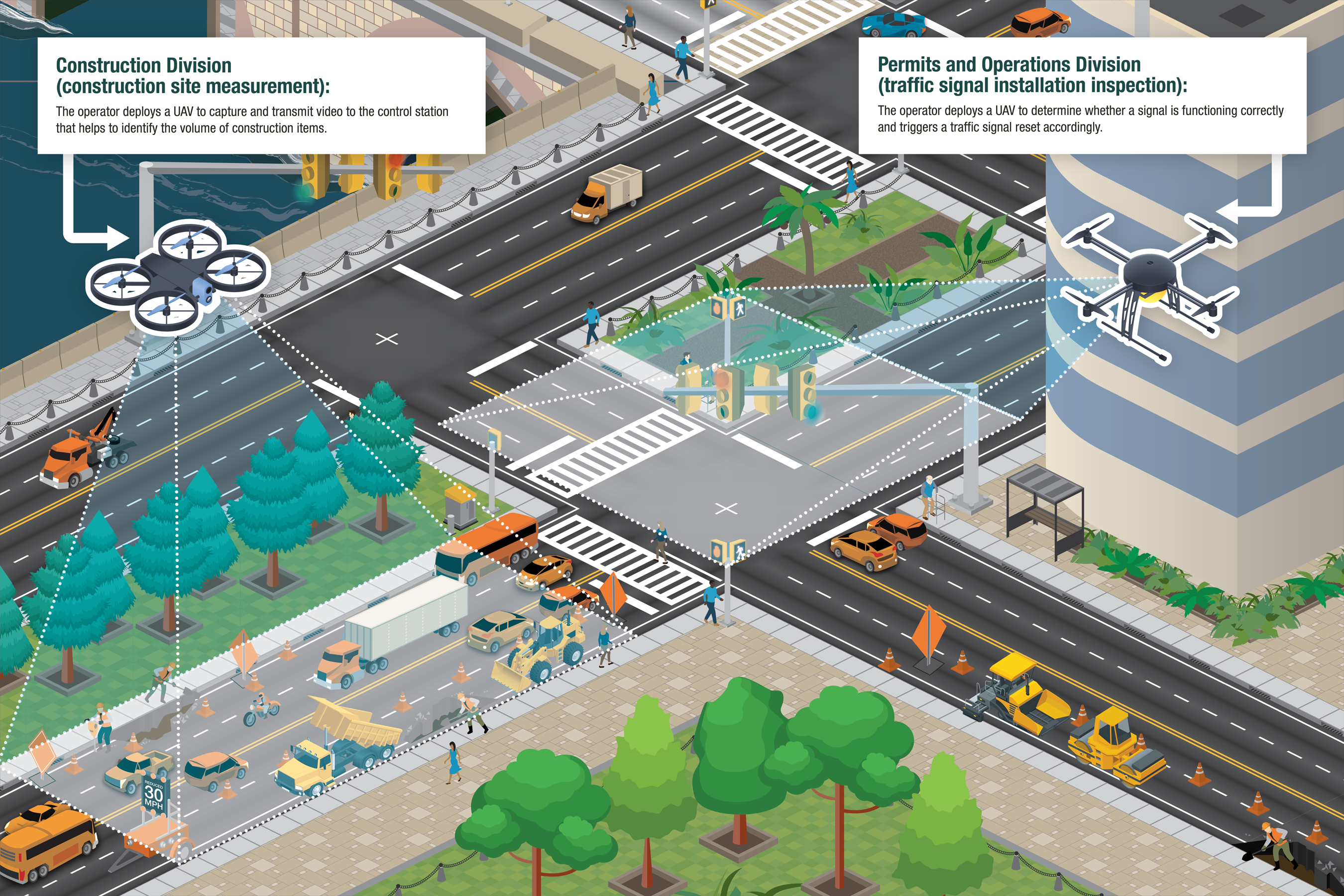
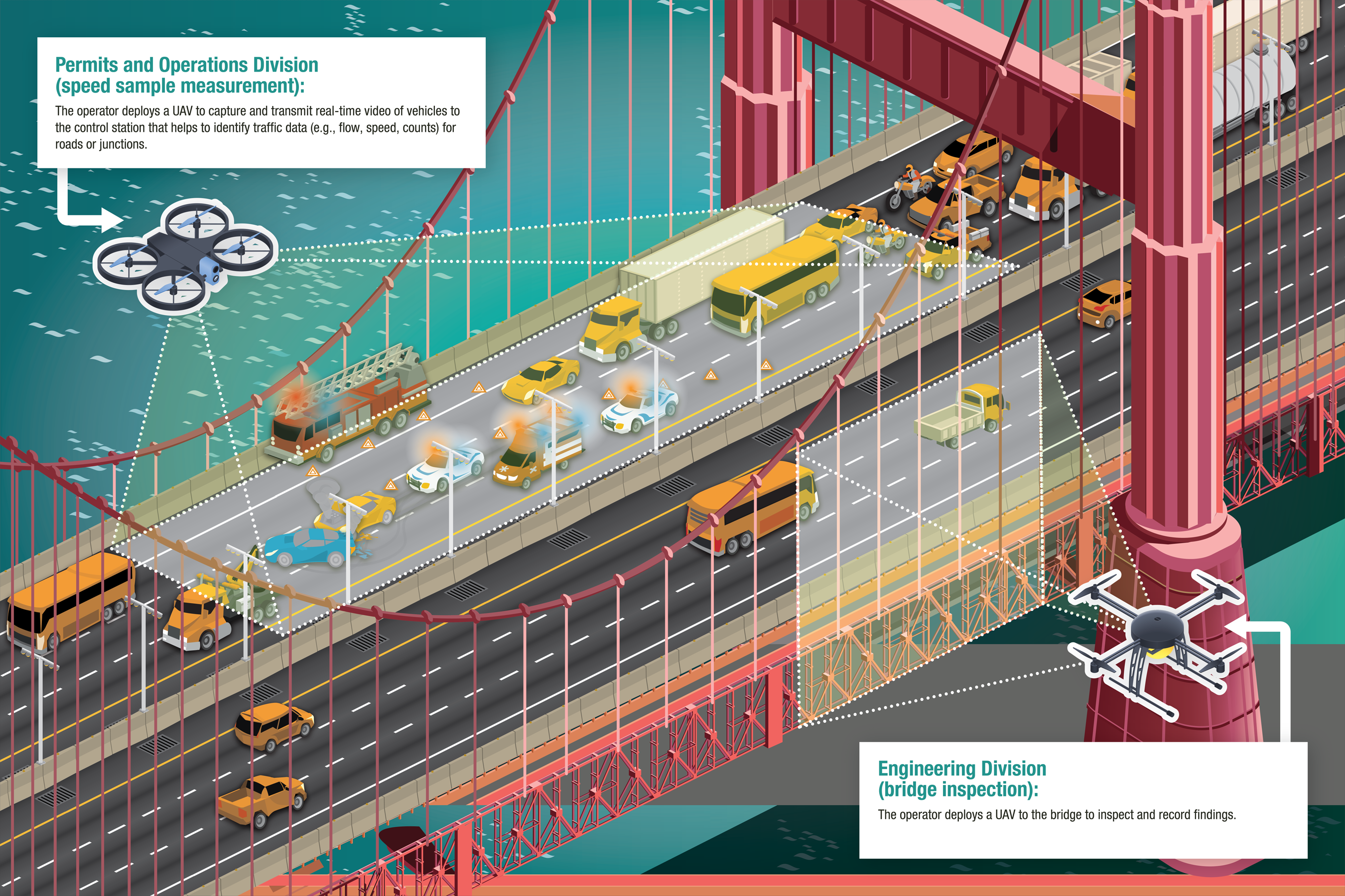
Miscellaneous
Infographics that highlight a wide array of ITS technologies, directives, or statistics.
1. Connected Vehicle Cyber Security
2. ITS JPO Transportation Statistics
3. Five Benefits of Connected Vehicle Technology
4. Predicting the Future of Transportation
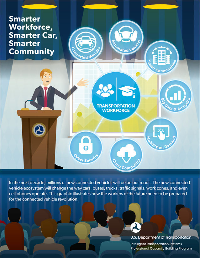
5. Training for the Future
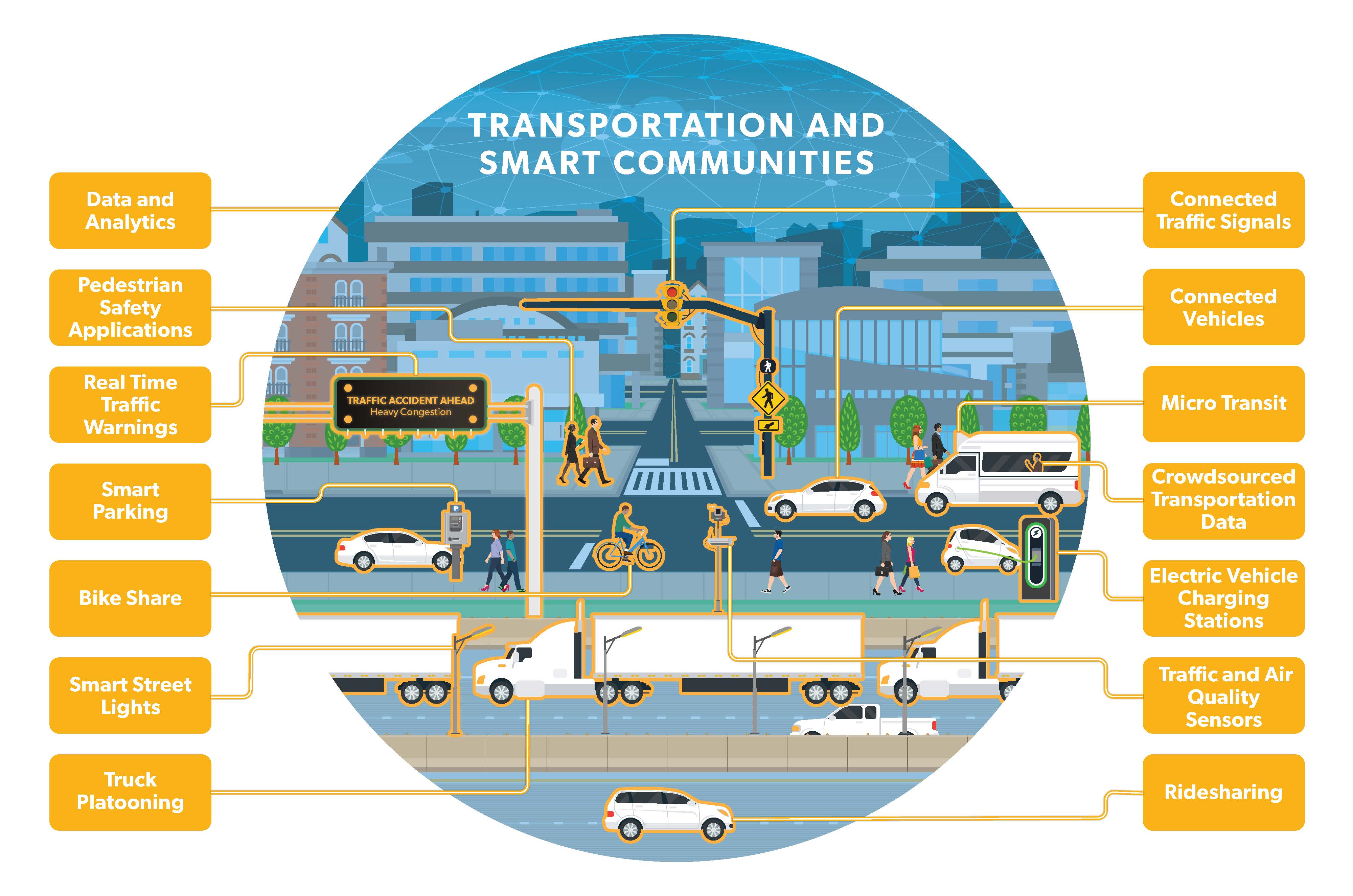
6. Transportation and Smart Communities
7. Connected Vehicle Pilots
11. Drone Construction Infrastructure
12. Drone Traffic Bridges
Pedestrian and Transit Applications
Infographics that describe ITS technologies that benefits pedestrian and transit safety, mobility, and accessibility.
1. Connection Protection Application
2. Transit Signal Priority
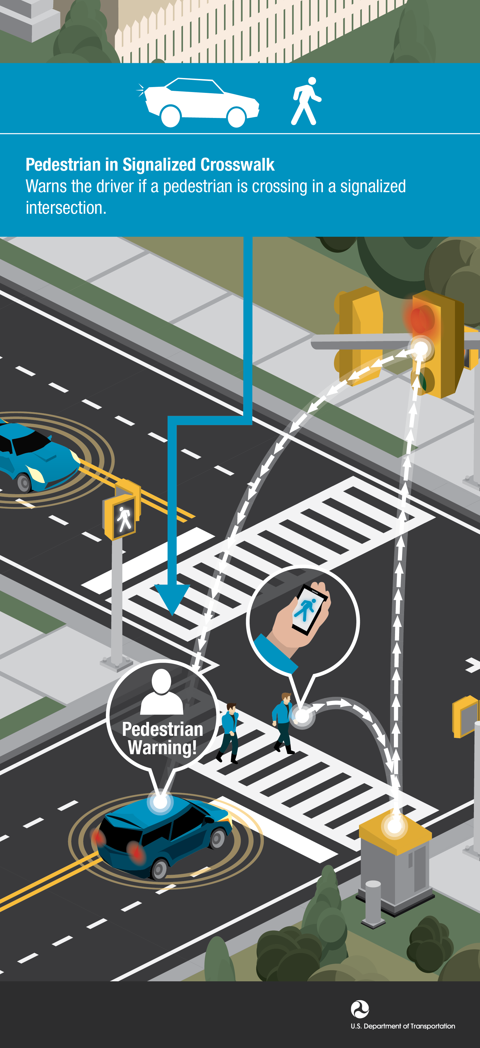
3. Pedestrian in Signalized Crosswalk
4. Transit Connection Priority
5. Transit Signal Priority
6. Dynamic Transit Operations (T-DISP)
Vehicle to Infrastructure (V2I)
Infographics that describe specific V2I safety, mobility, security, and economy applications.
1. Road Maintenance Reporting
2. Workzone Infrastructure Warning
3. Stop Gap Assistance Warning
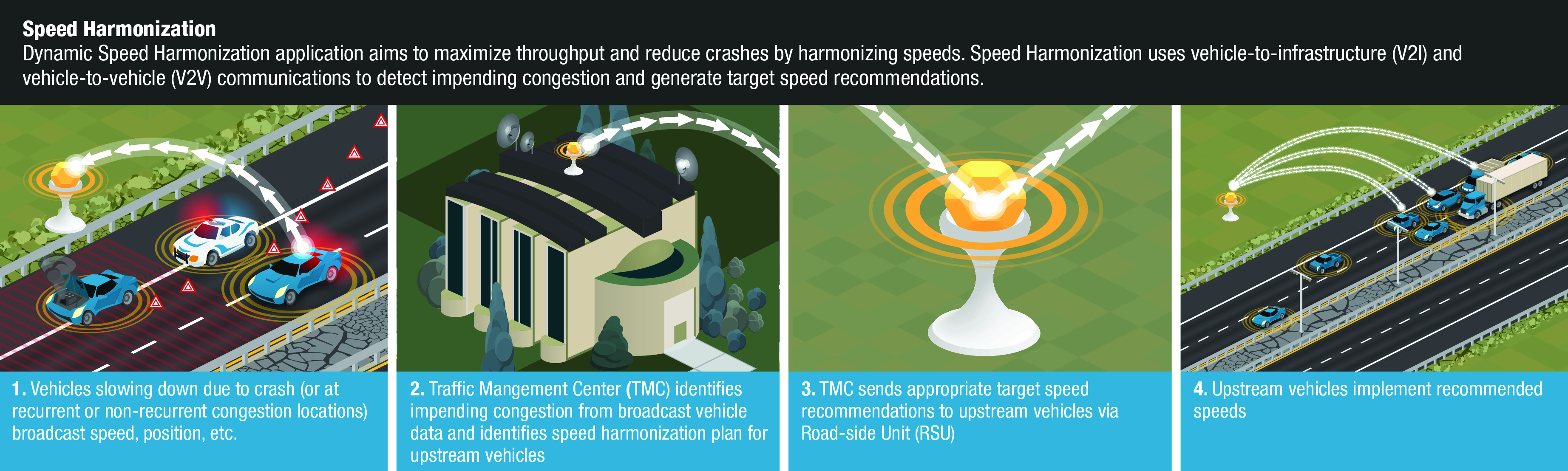
4. Dynamic Speed Harmonization Warning
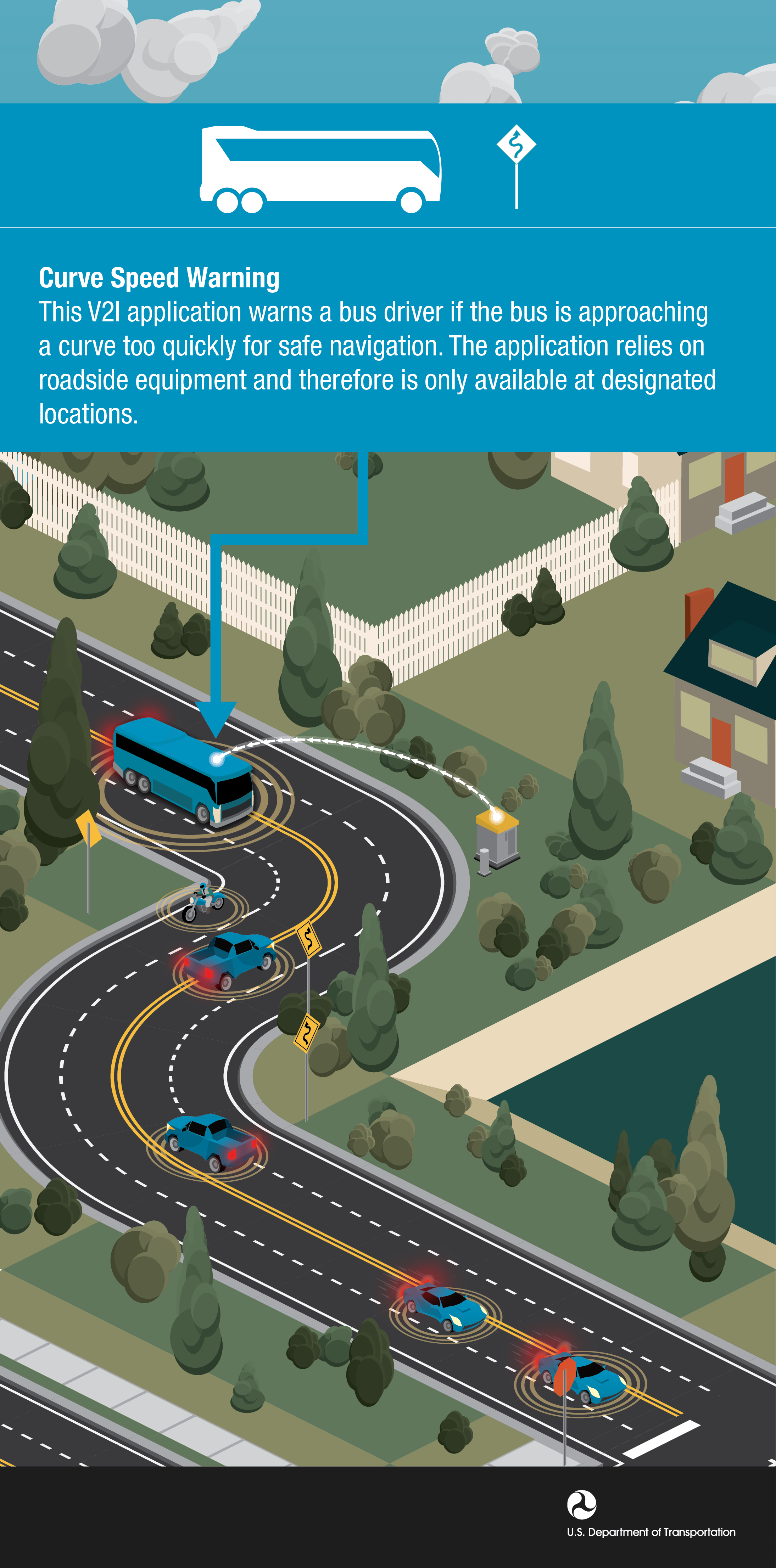
10. Bus Curve Speed Warning
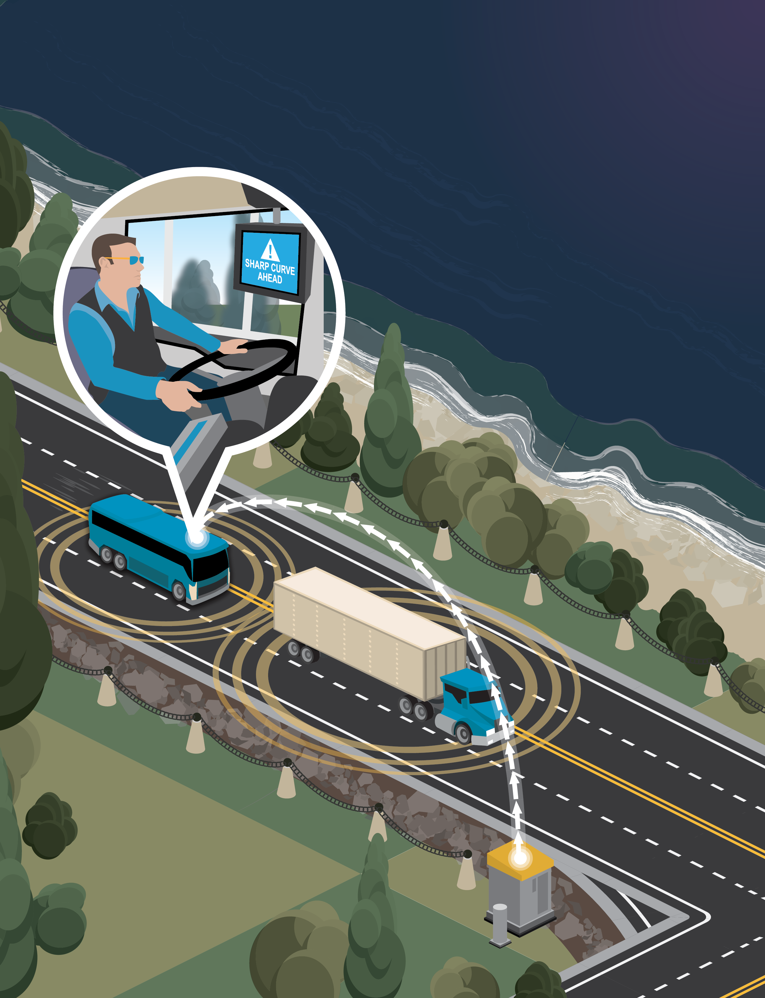
11. Bus and Freight Curve Speed Warning
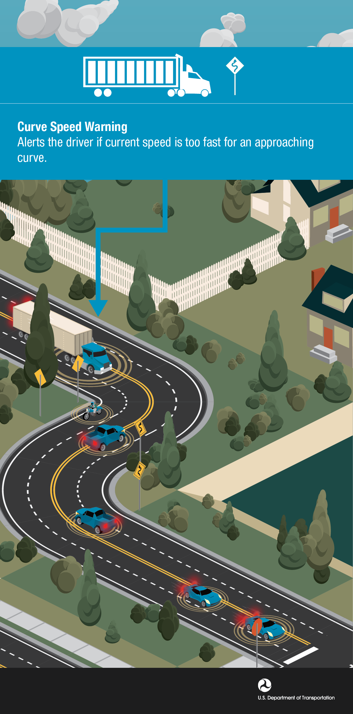
12. Freight Curve Speed Warning
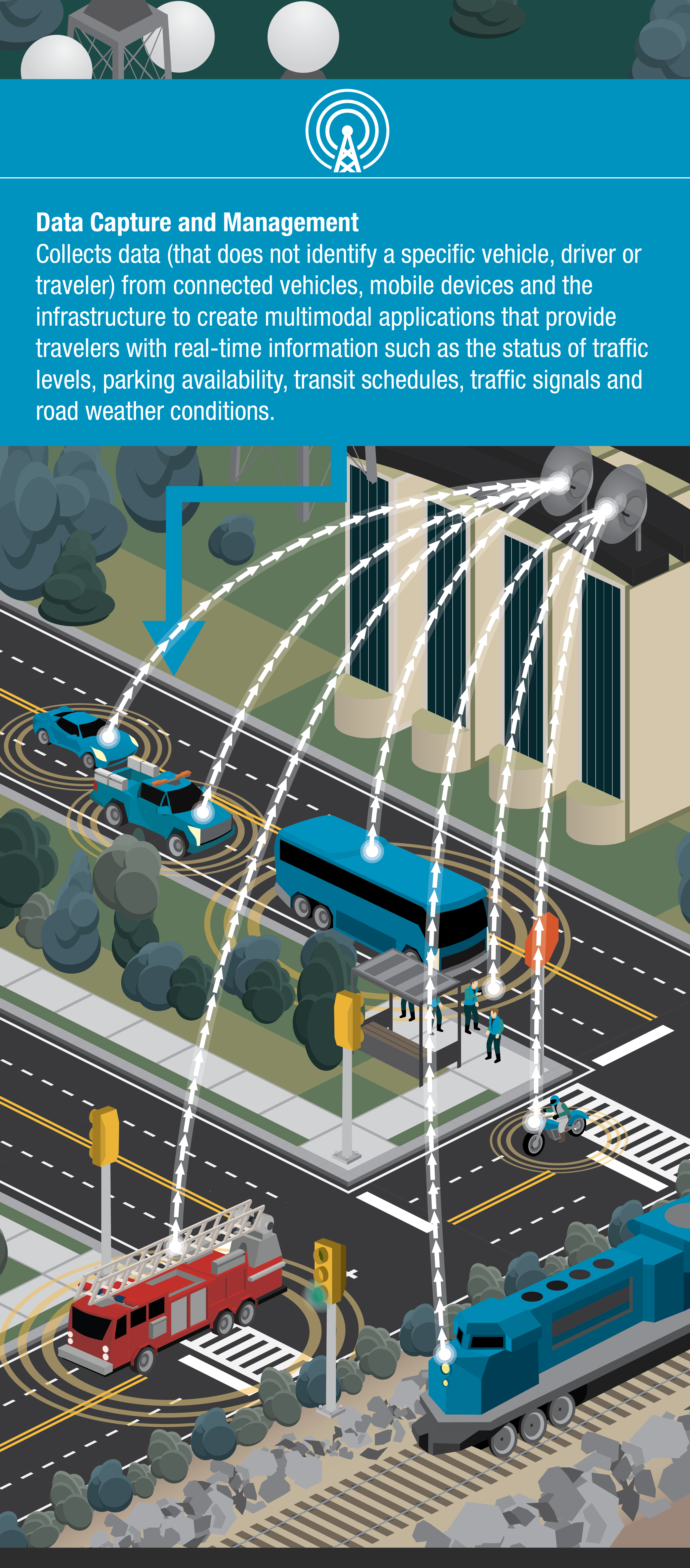
13. Data Capture and Management ICM
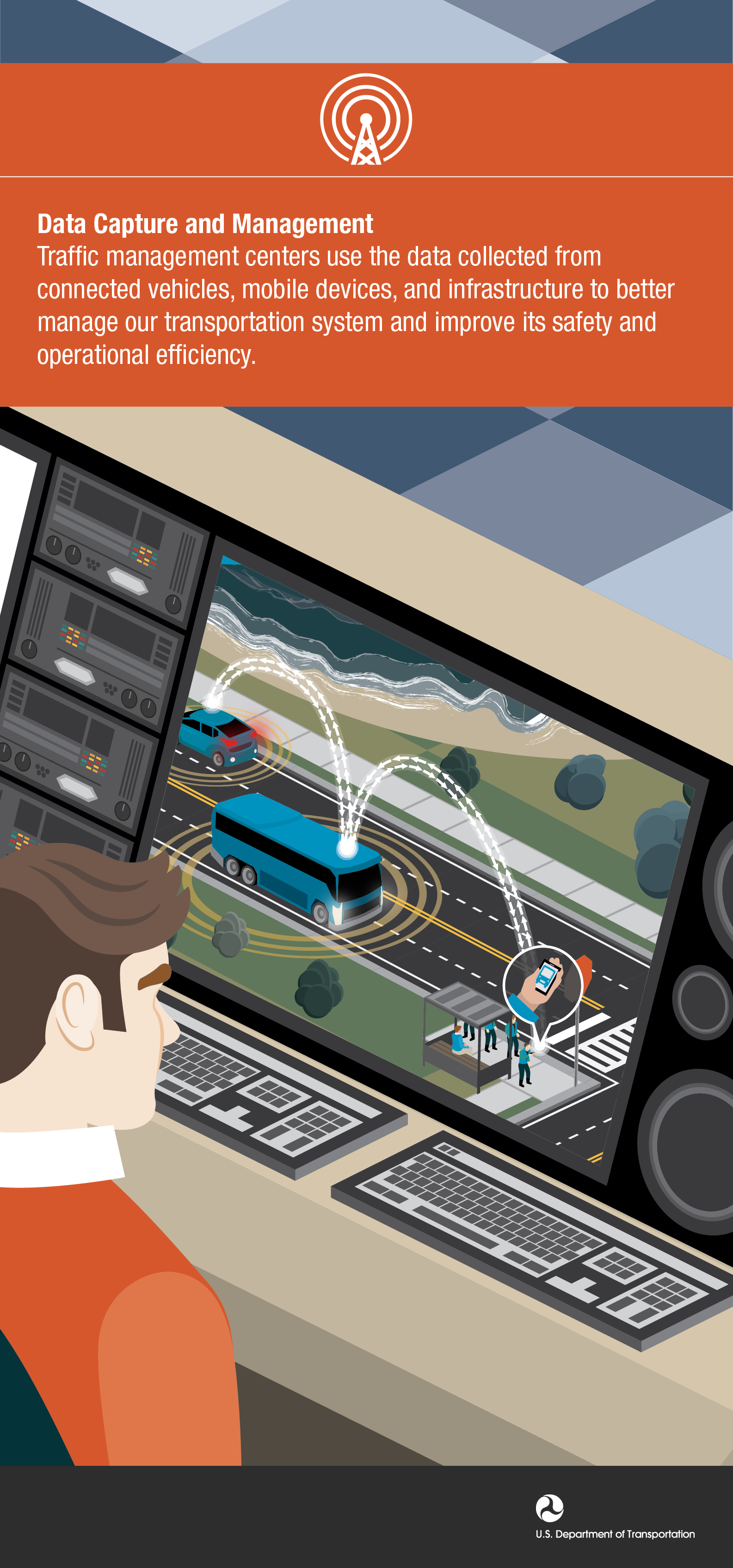
14. Data Capture and Management
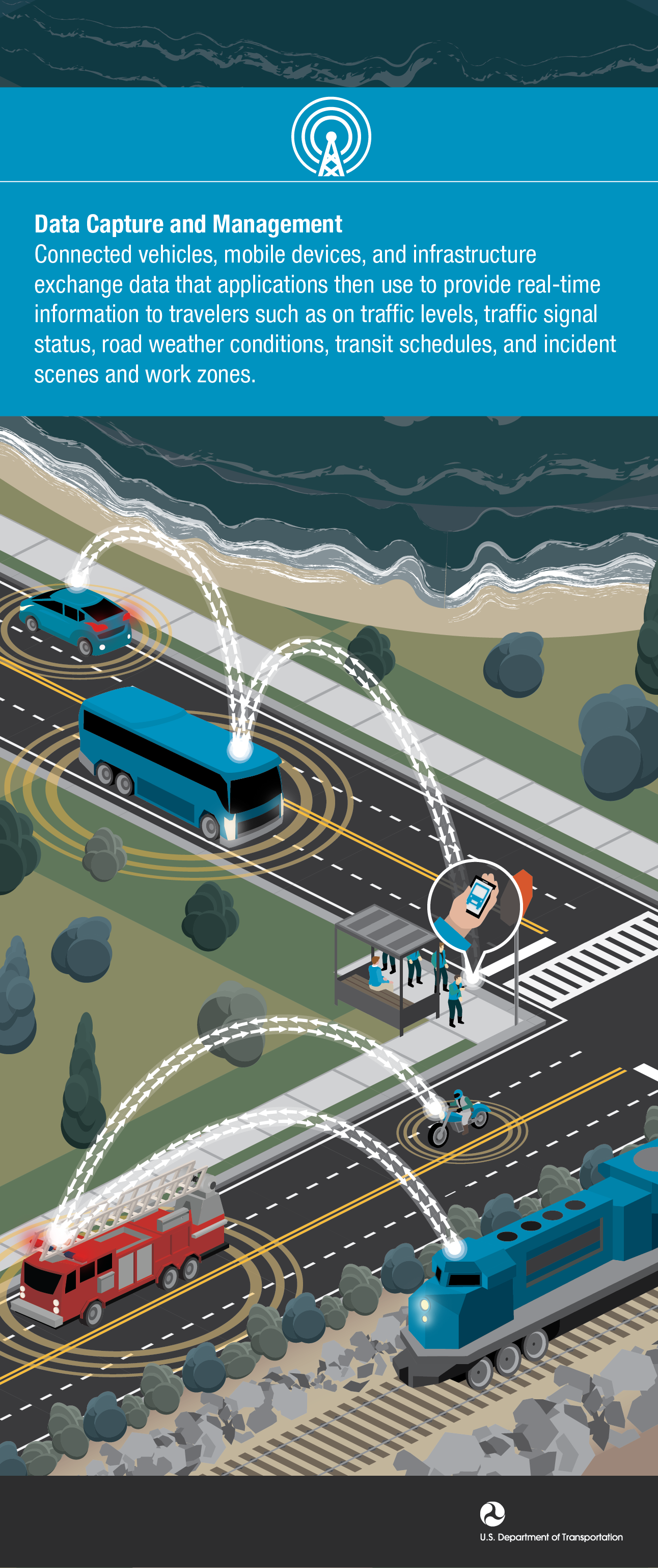
15. Data Capture and Management Communication
17. Red Light Violation Warning
18. Red Light Violation Warning
Vehicle to Vehicle (V2V)
Infographics that describe specific V2V safety, mobility, security, and economy applications.
1. Electronic Brake Light Warning
3. RESCUME Safe Speed Warning
5. Emergency Electronic Brake Warning
6. Forward Collision Warning
7. Forward Collision Warning Condensed
8. Intersection Movement Assistsance
9. Lane Change Blind Spot Warning
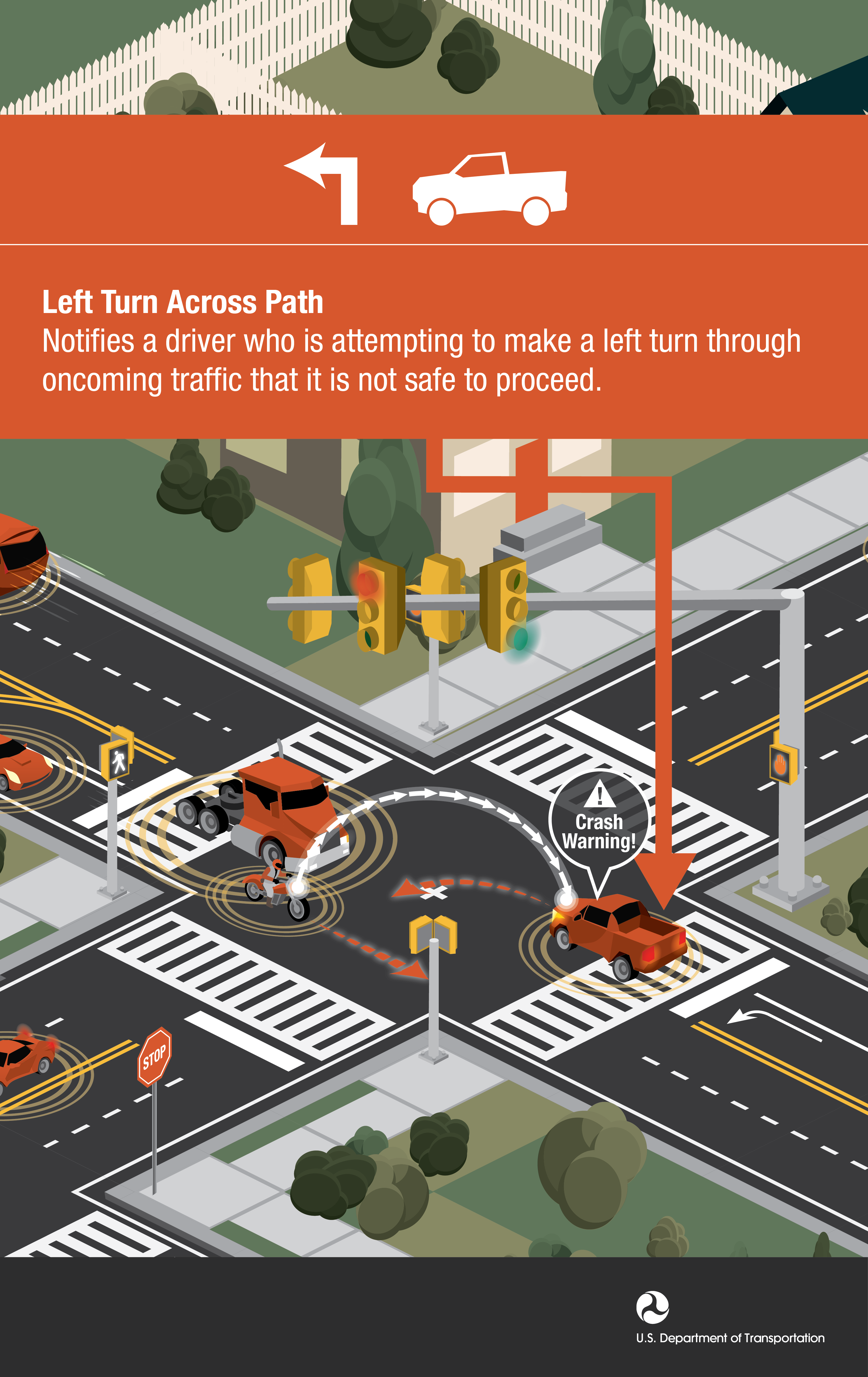
10. Left Turn Across Path Warning
11. Pedestrian in Signalized Crosswalk
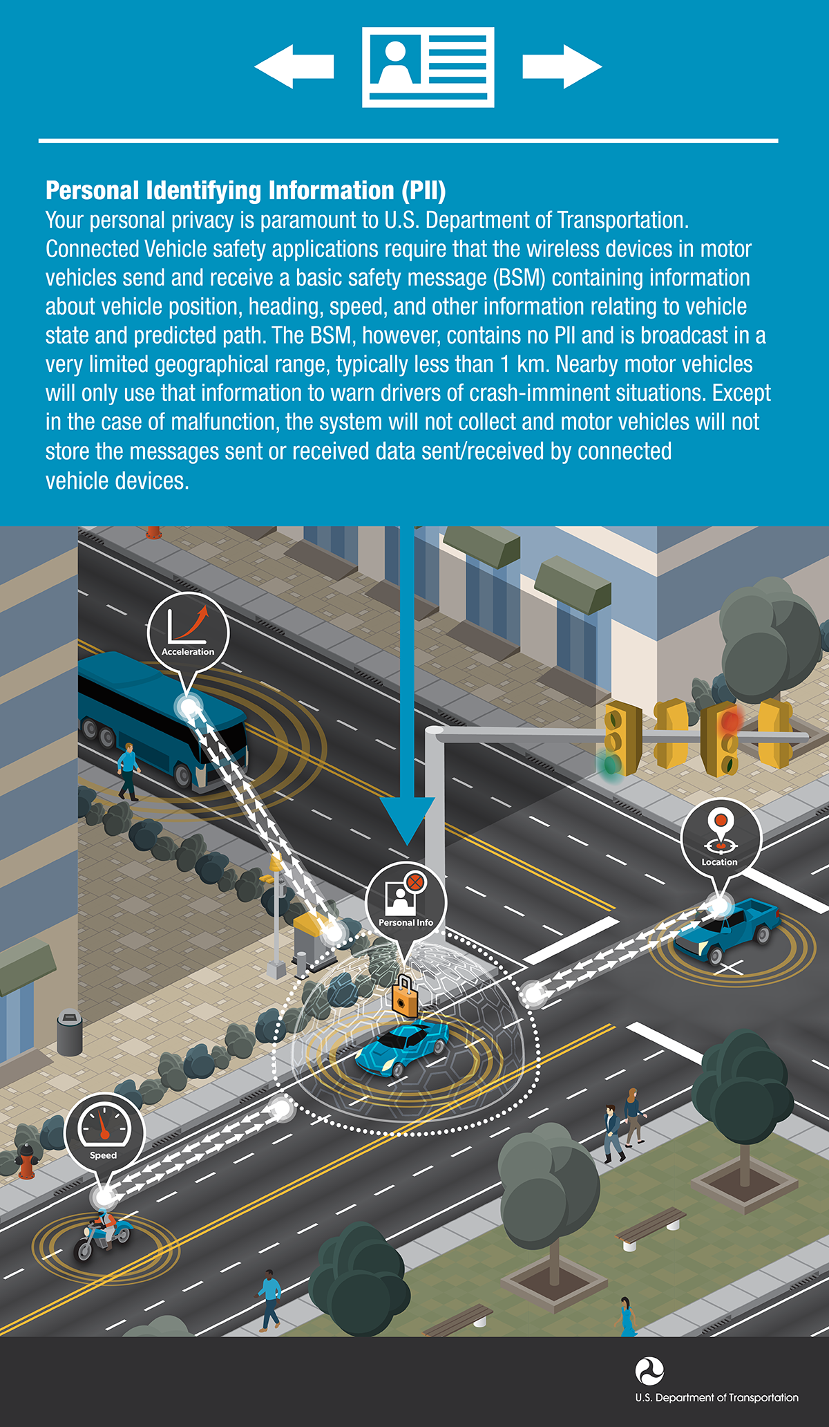
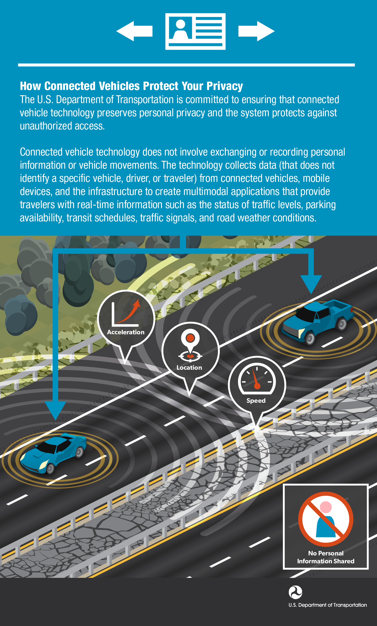
13. Connected Vehicle Information Privacy
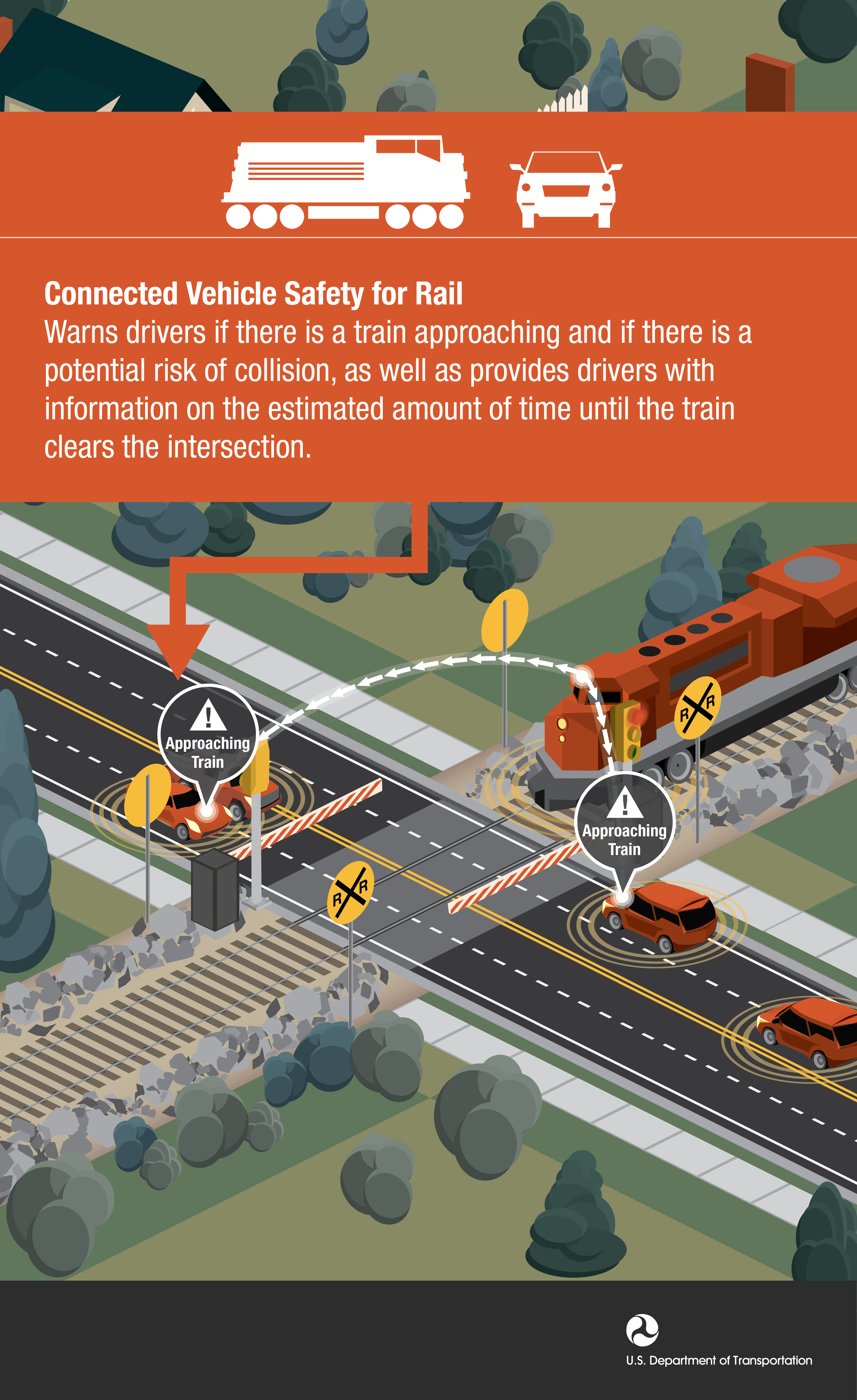
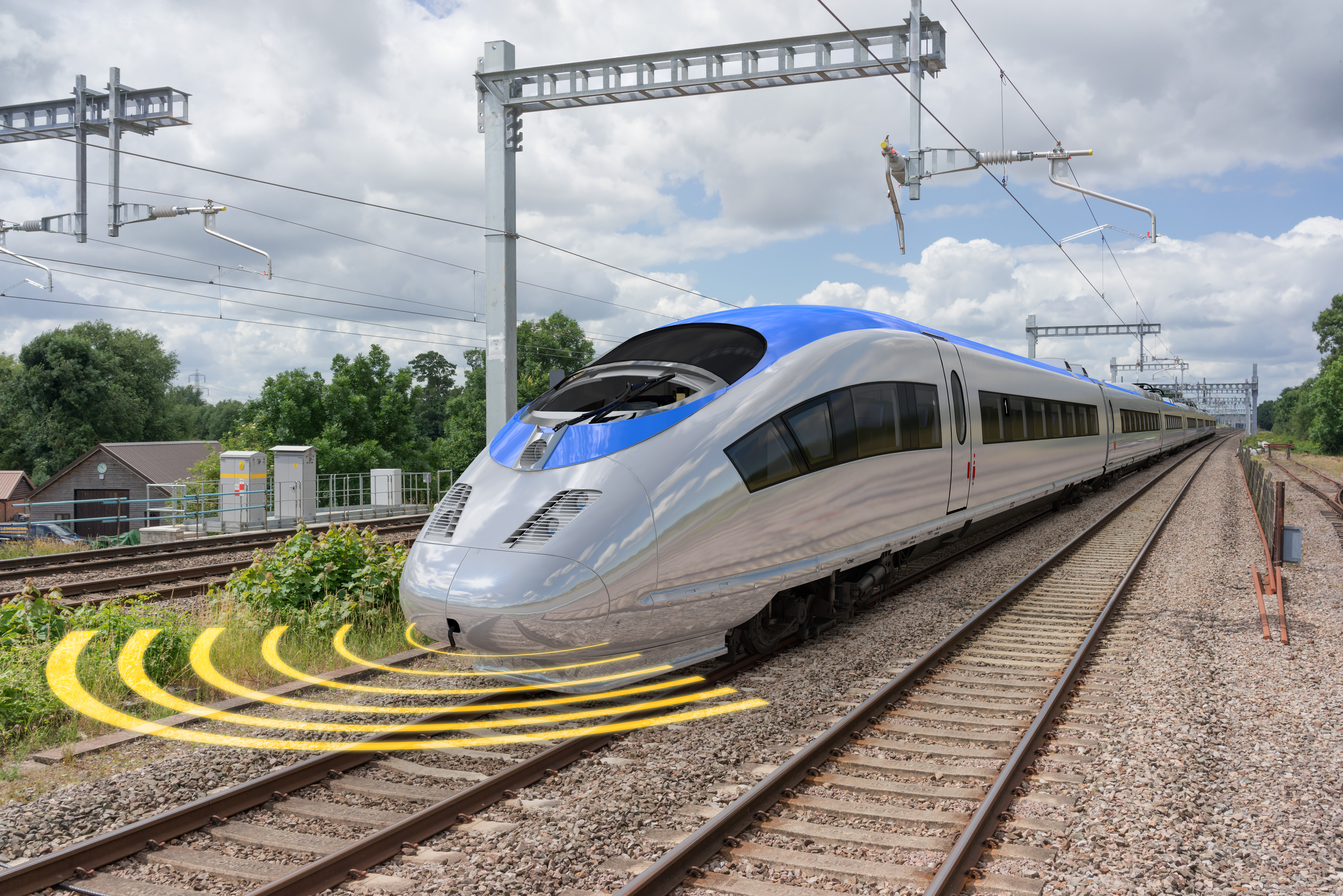
15. Safety for Rail Applications
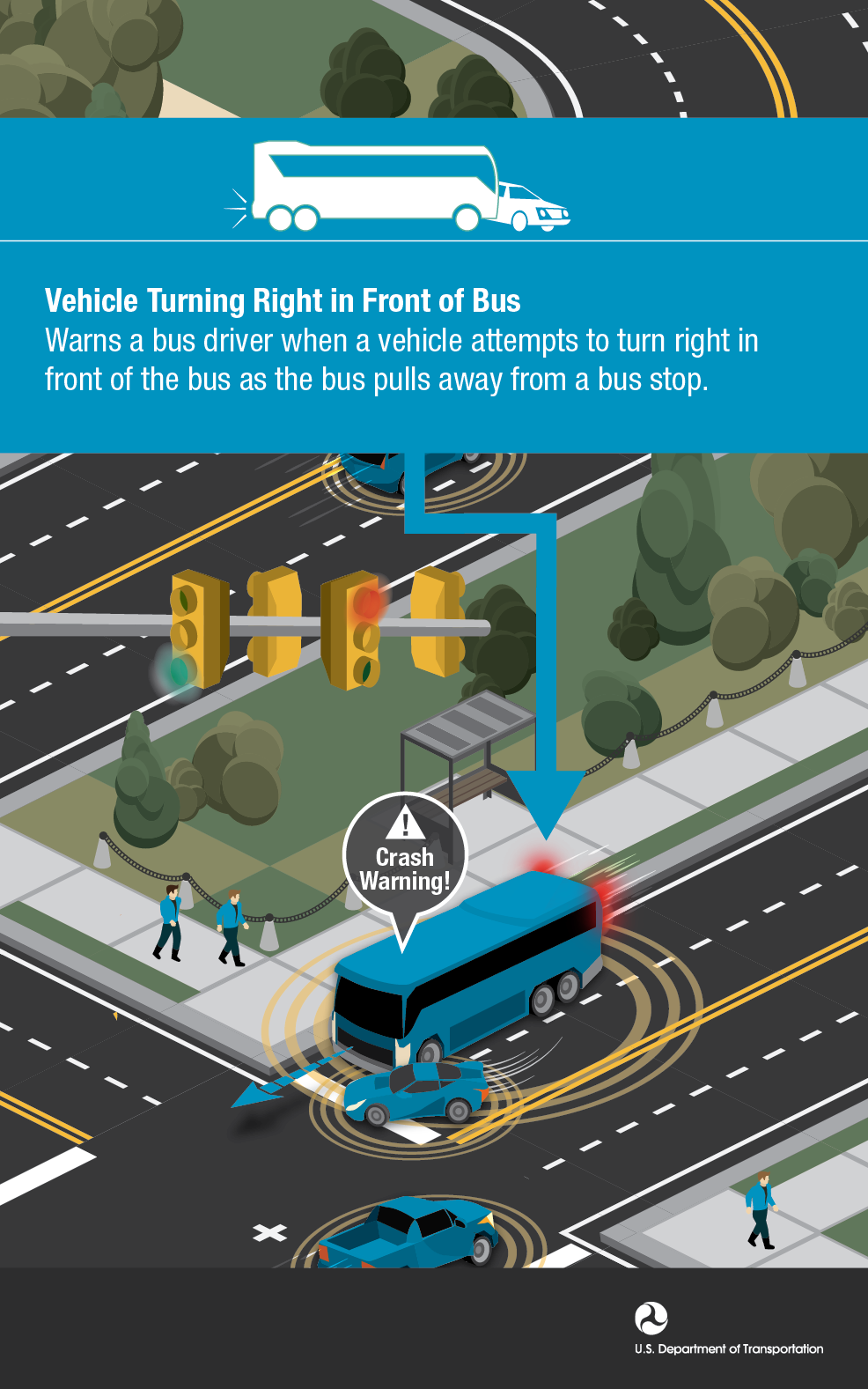
16. Vehicle Turning Right in Front of Bus
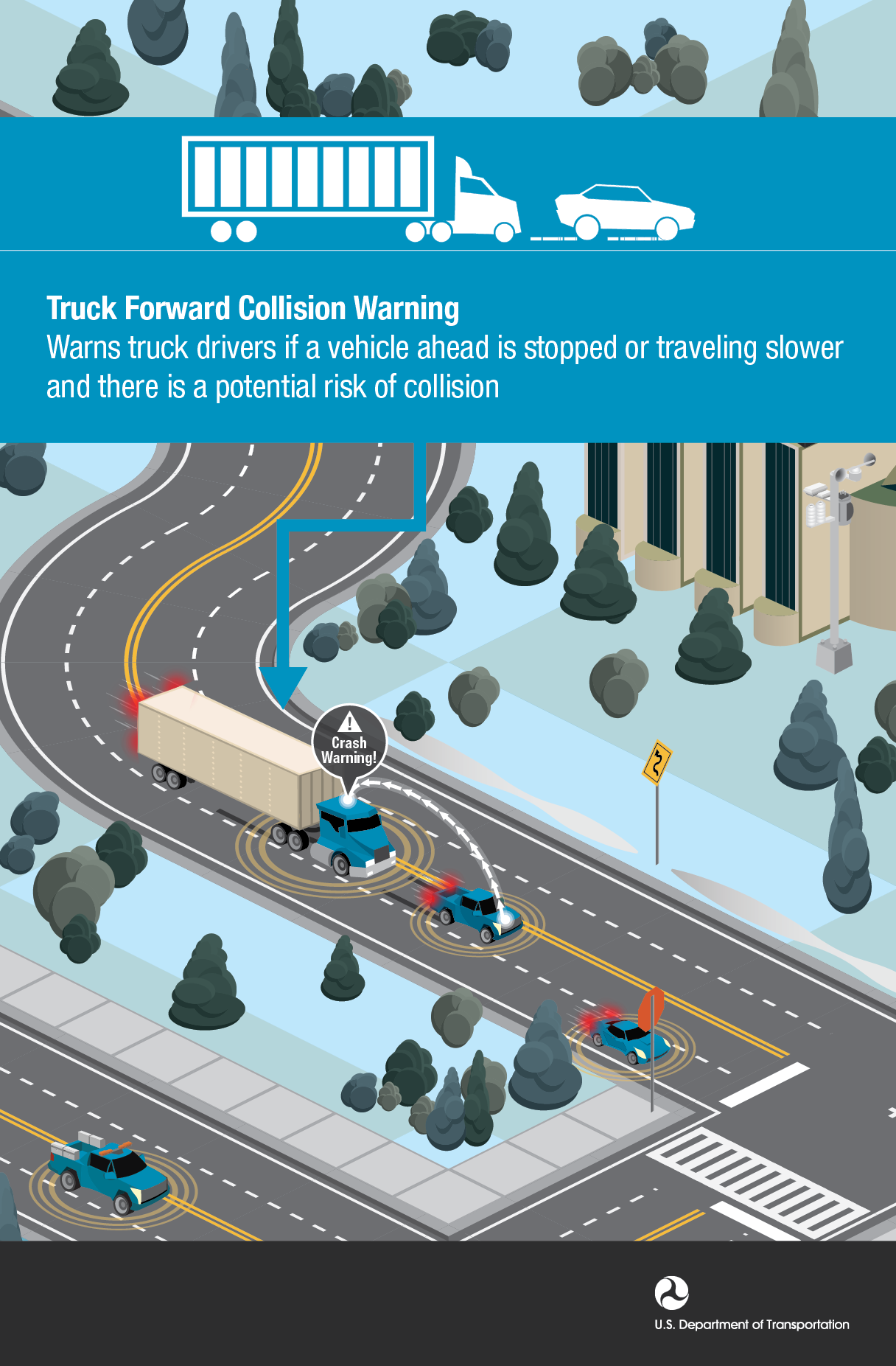
17. Freight Truck Forward Collision Warning
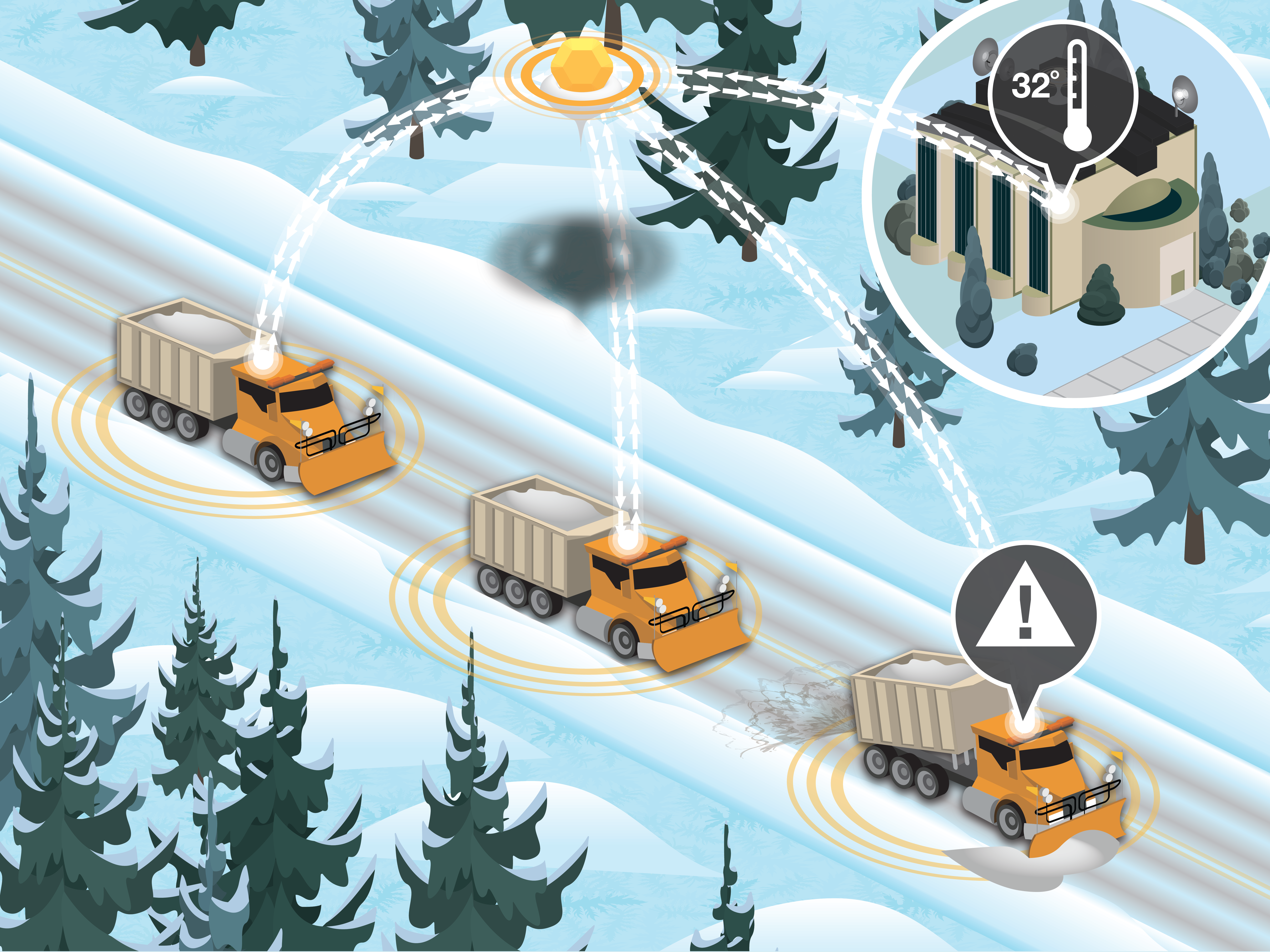
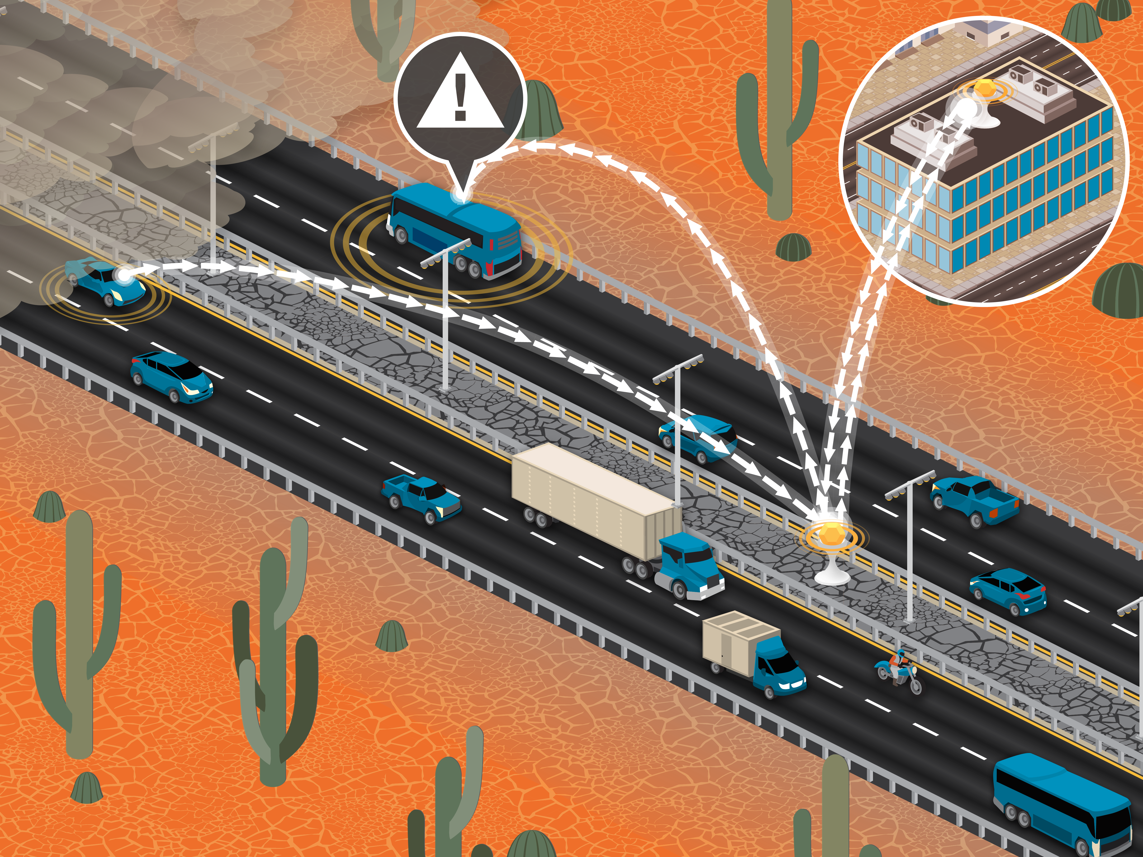
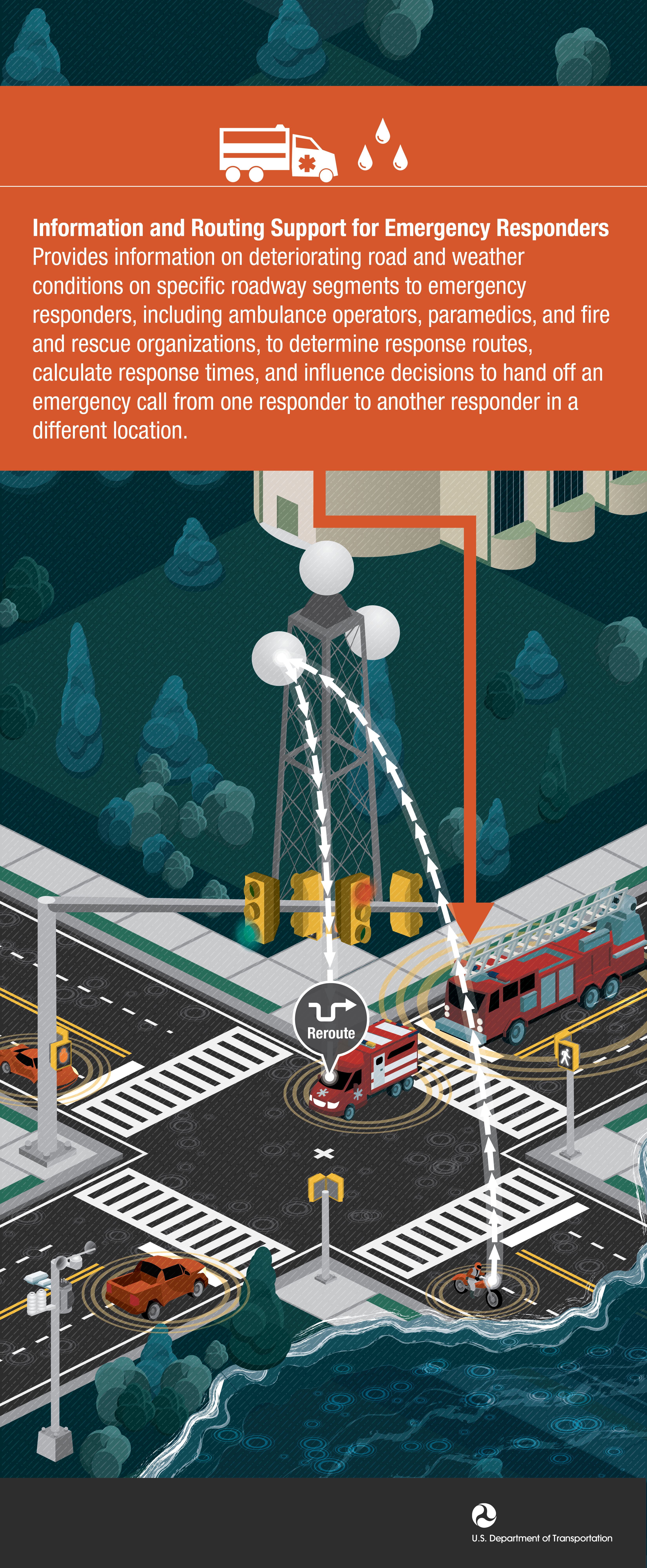
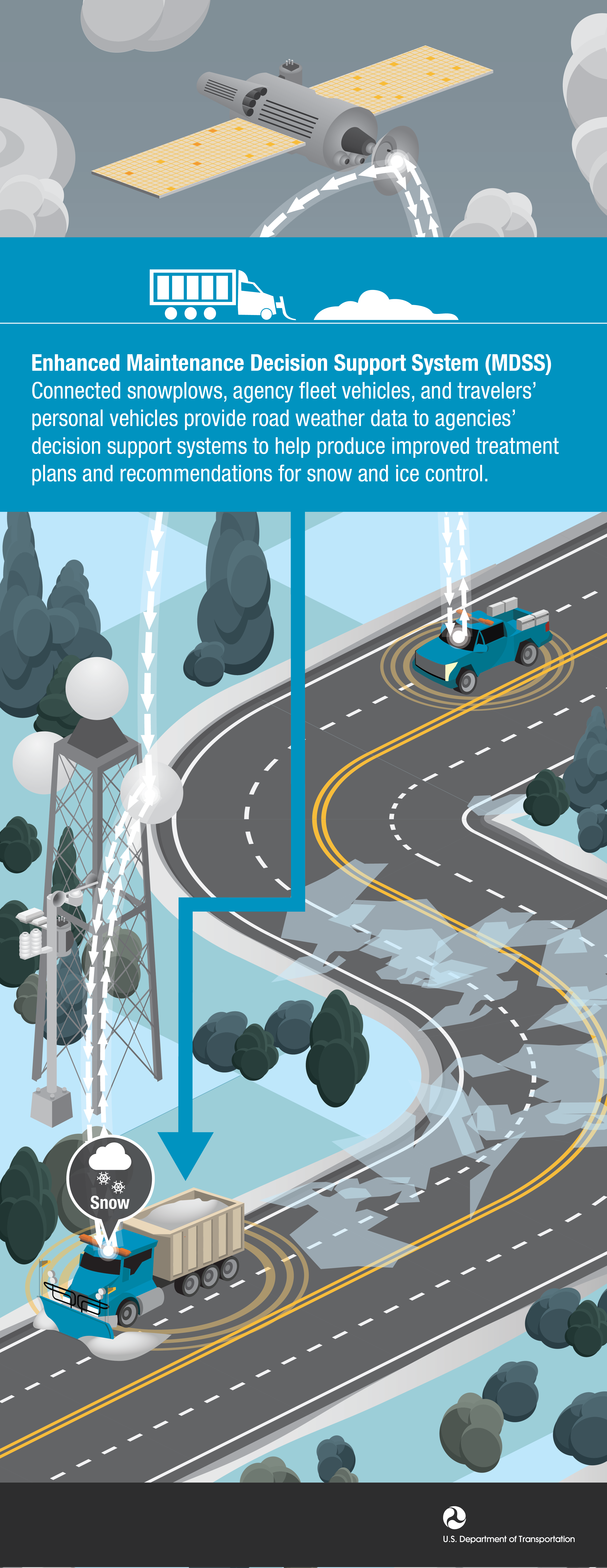
Weather Applications
Infographics that describe specific V2V or V2I technologies that enhance safety, mobility, and accessibility in a variety of weather conditions.
1. Enhanced Maintenance Decision Support System
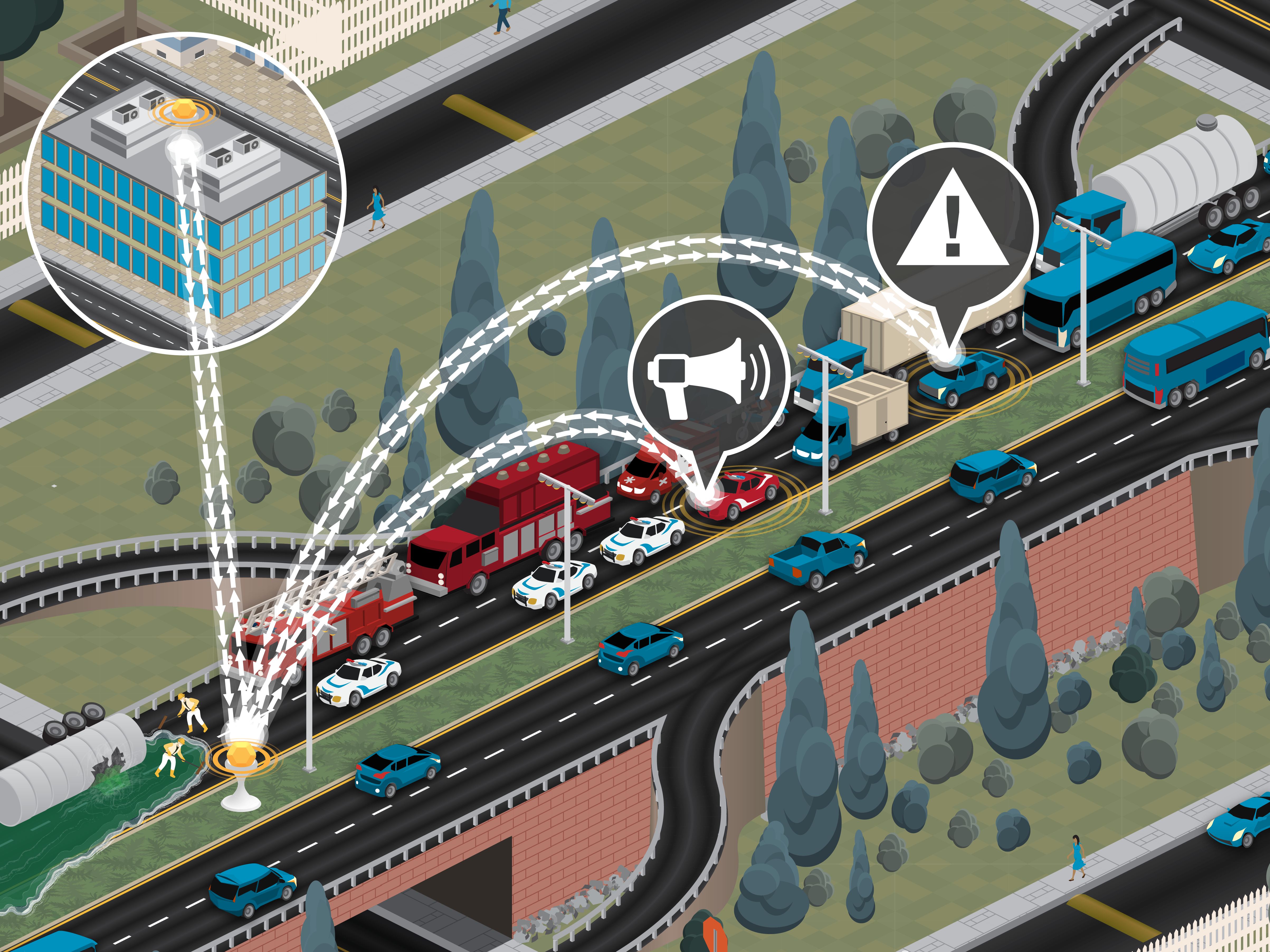
3. Information and Routing Support for Emergency Responder
4. Enhanced Maintenance Decision Support System
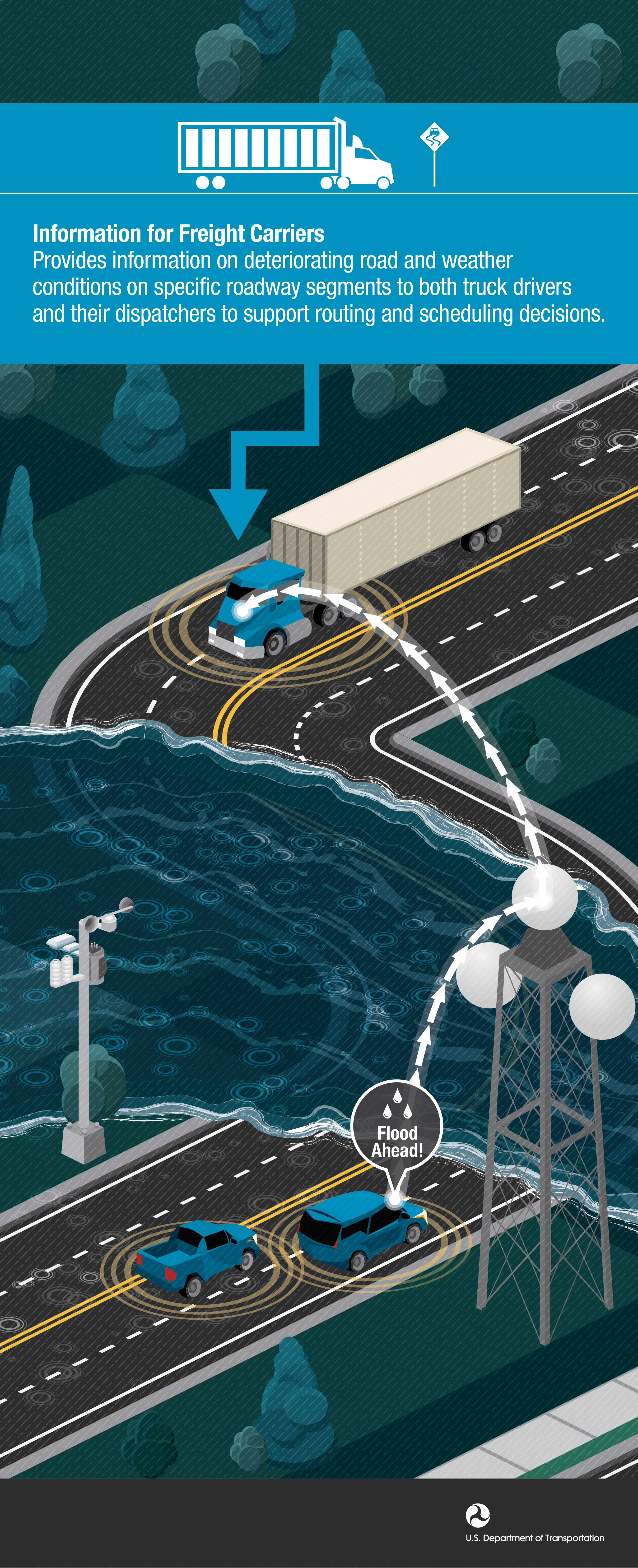
5. Weather Information for Freight Carriers
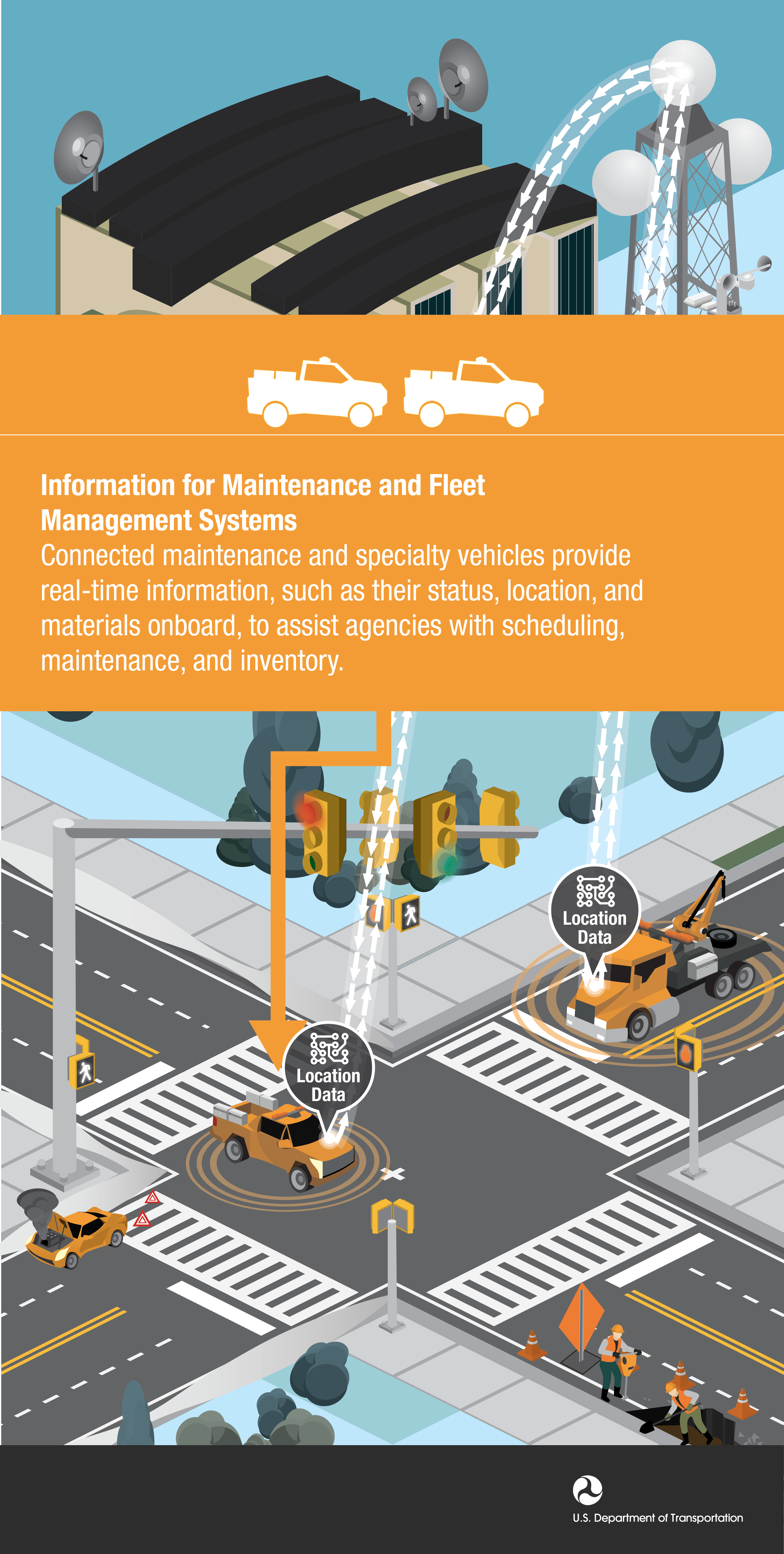
6. Information for Maintenance Fleet Management
7. Motorist Advisories and Warnings
8. Road Weather Applications
9. Weather Responsive Traffic Management
Leadership
USDOT
Intelligent Transportation Systems Joint Program Office Leadership.
1. Brian Cronin, ITS JPO Director
2. Egan Smith, Managing Director
Logos
USDOT
Logos used to identify the United States Department of Transportation agencies, offices and directives.
4. USDOT Office of the Secretary of Transportation Logo Color
5. USDOT Office of the Secretary of Transportation Logo Black
6. USDOT Office of the Secretary of Transportation Logo White
Photography
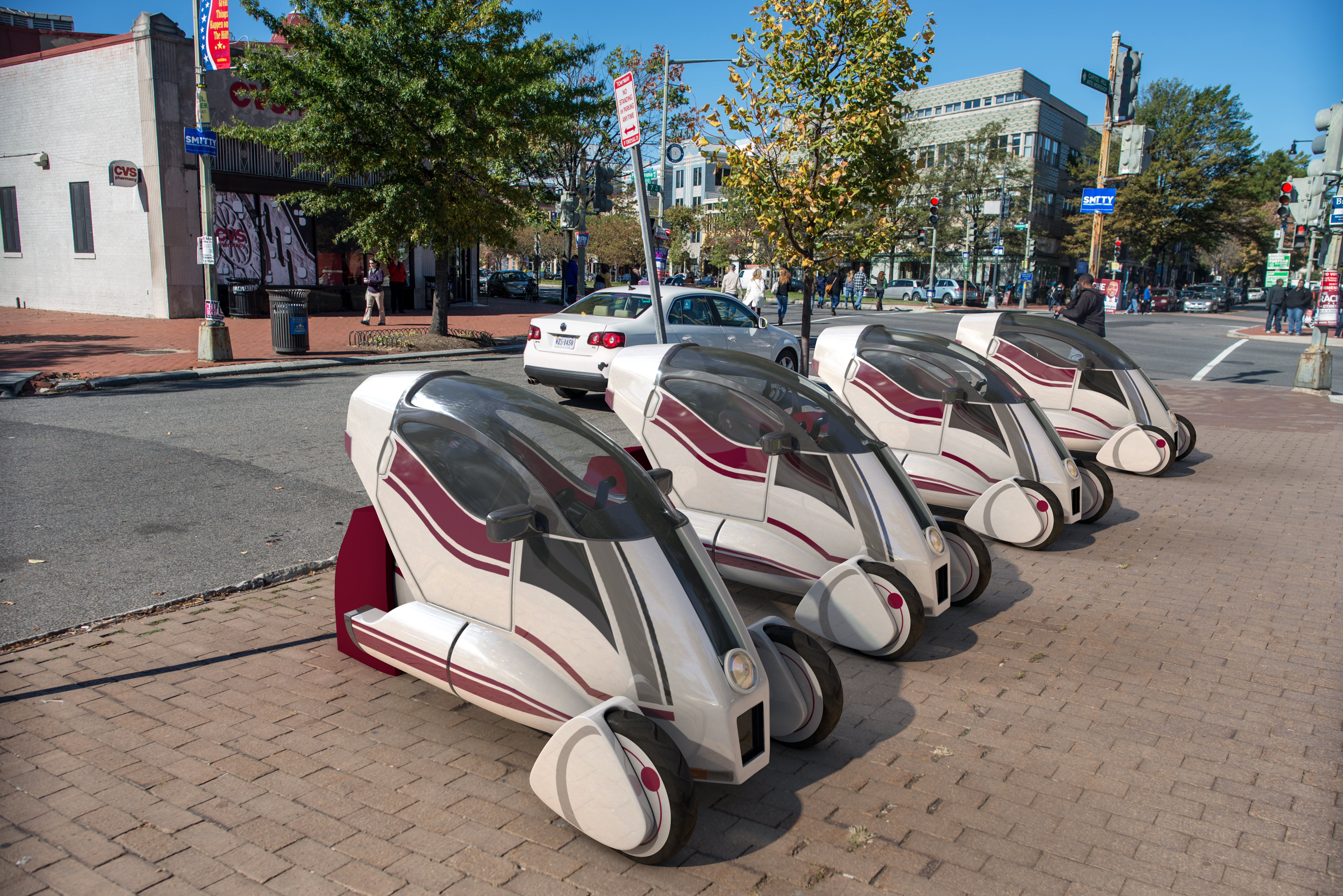
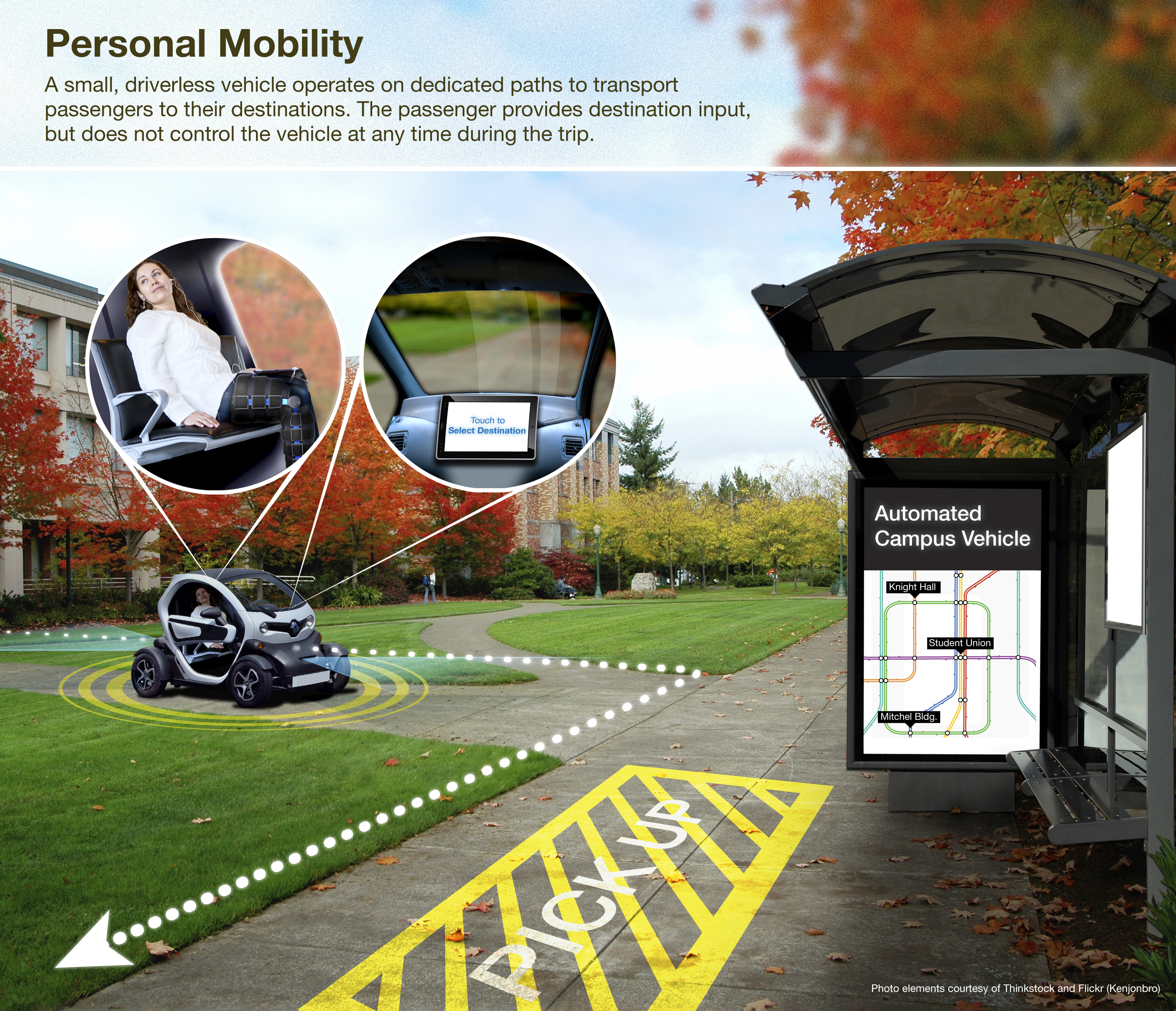
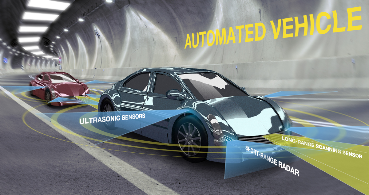
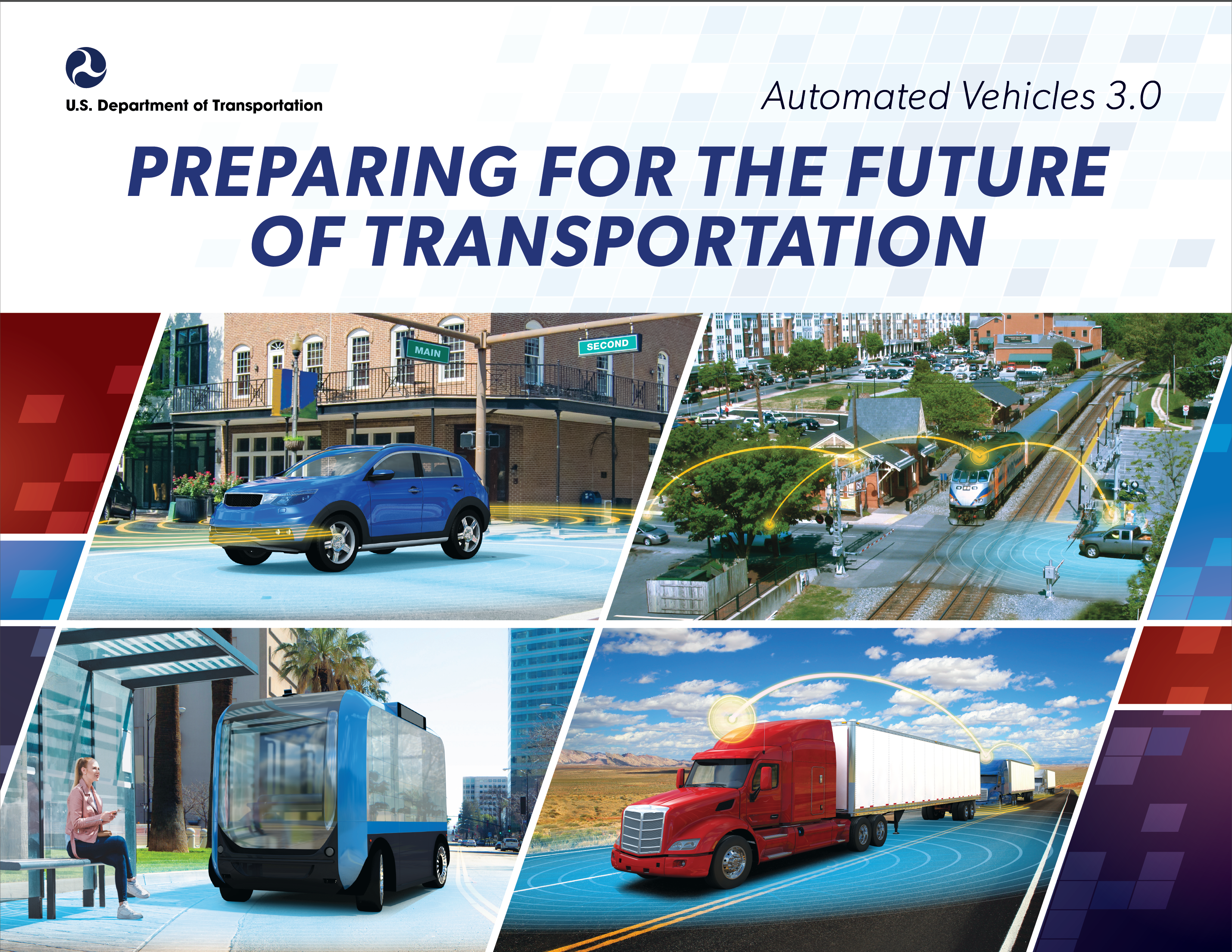
Automated Vehicles
Illustrations depicting the use, features, and future of automated vehicle technology.
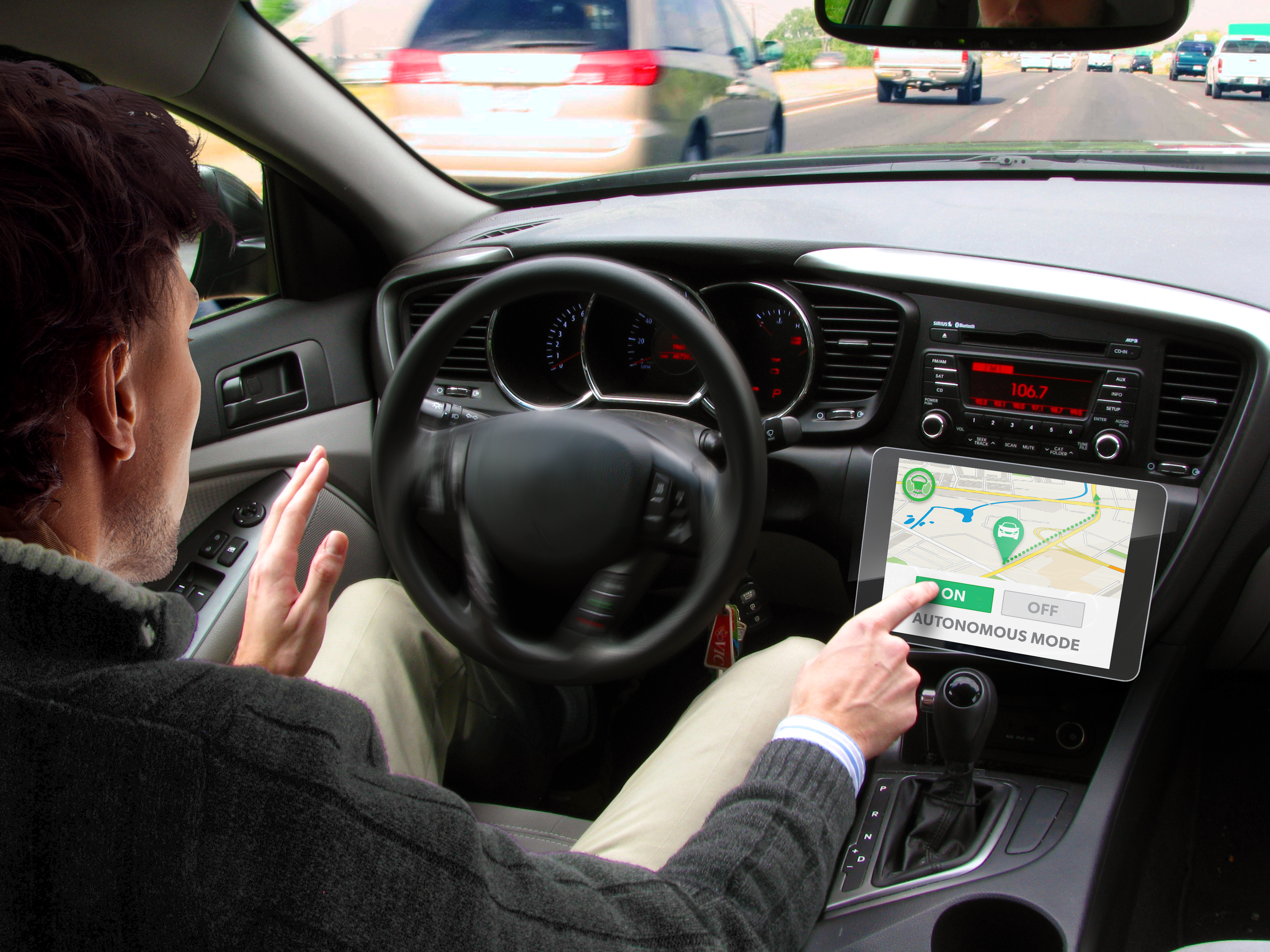
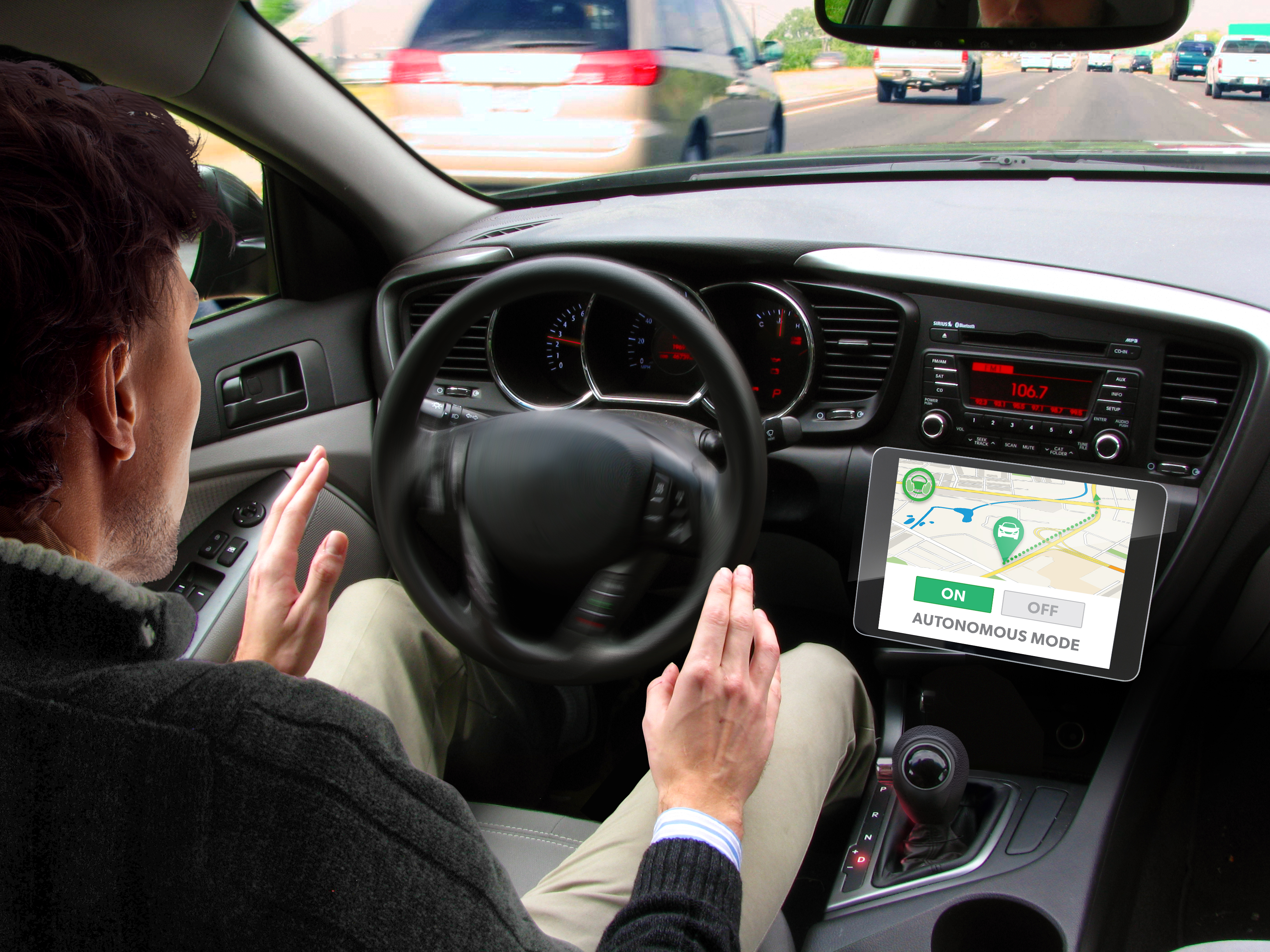
1. Automated Vehicle Activation
2. How an Automated Vehicle Works
3. Future Automated Vehicles
4. Automated University Ride Sharing
5. Automated Vehicle Sensors
6. Benefits of Automation
10. Automated Vehicle Highway
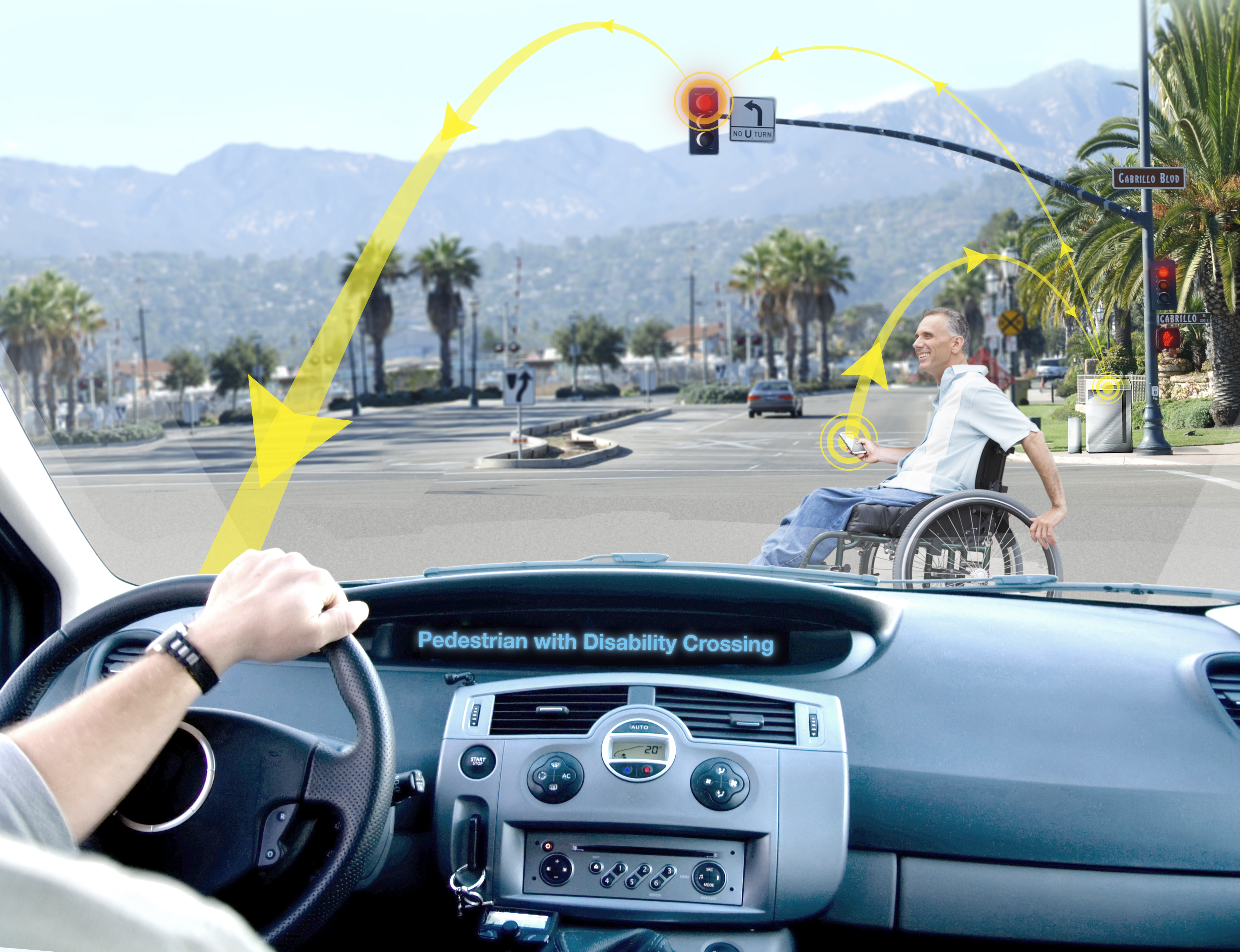
13. Intersection Wheelchair
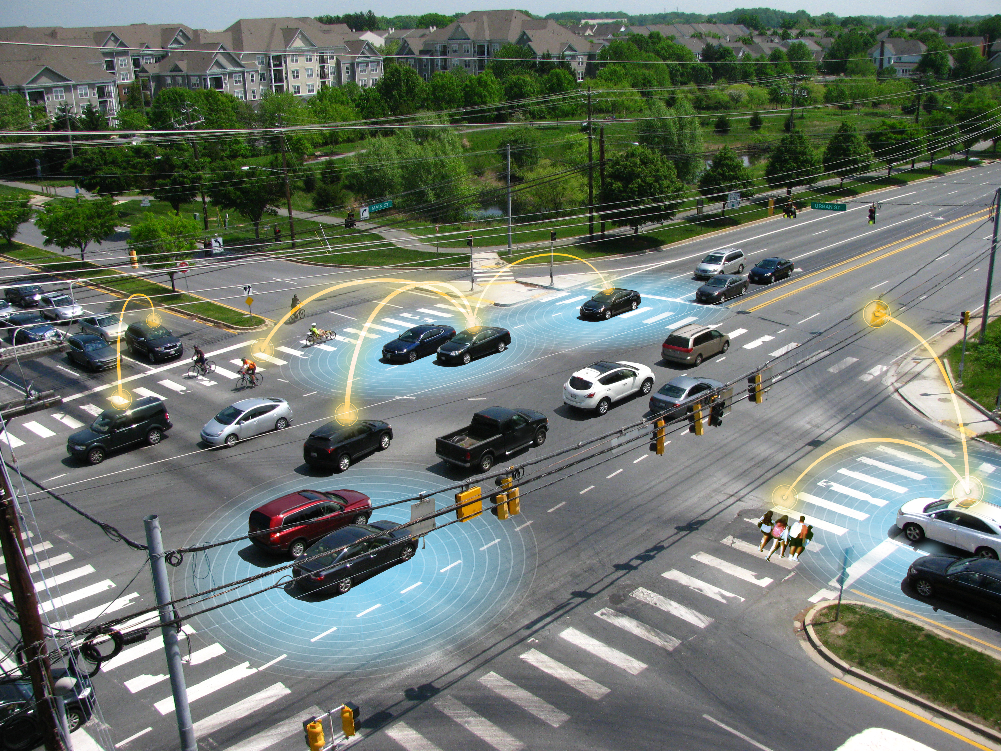
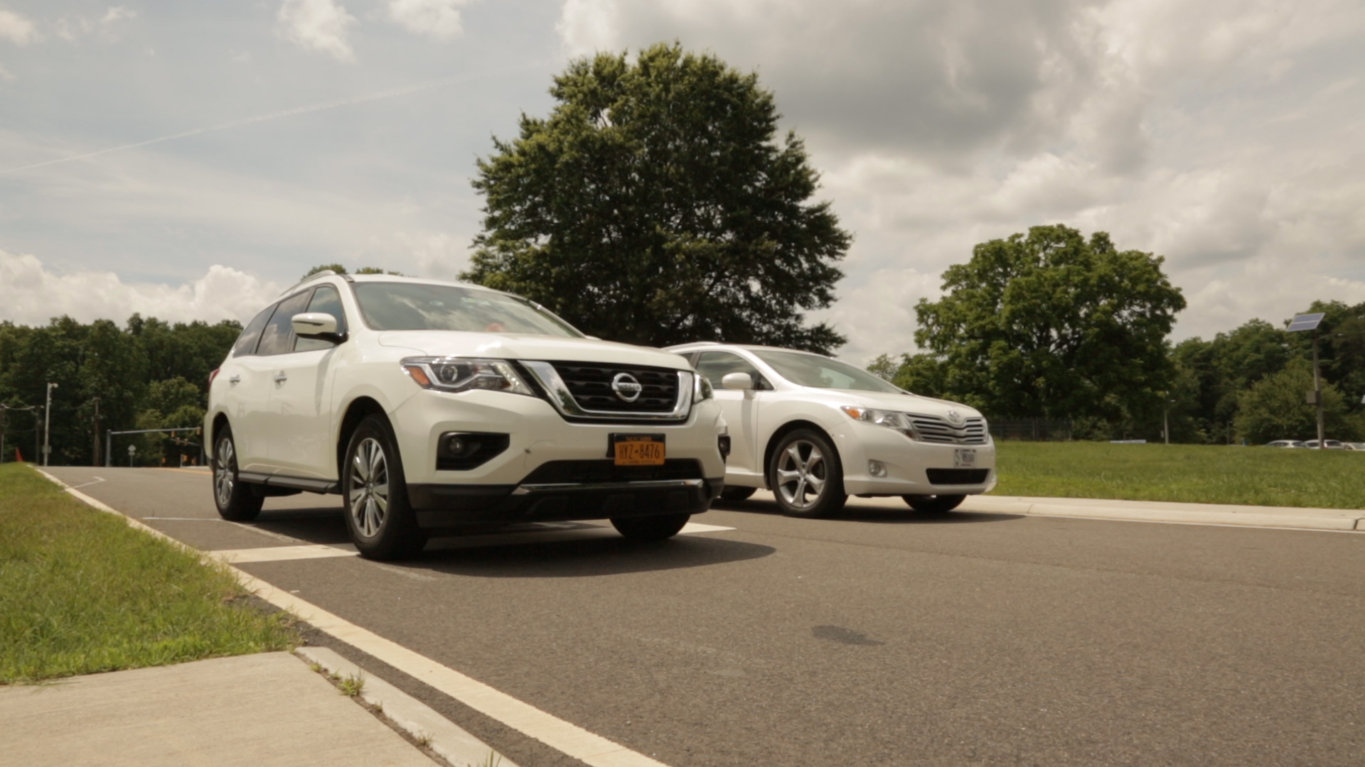
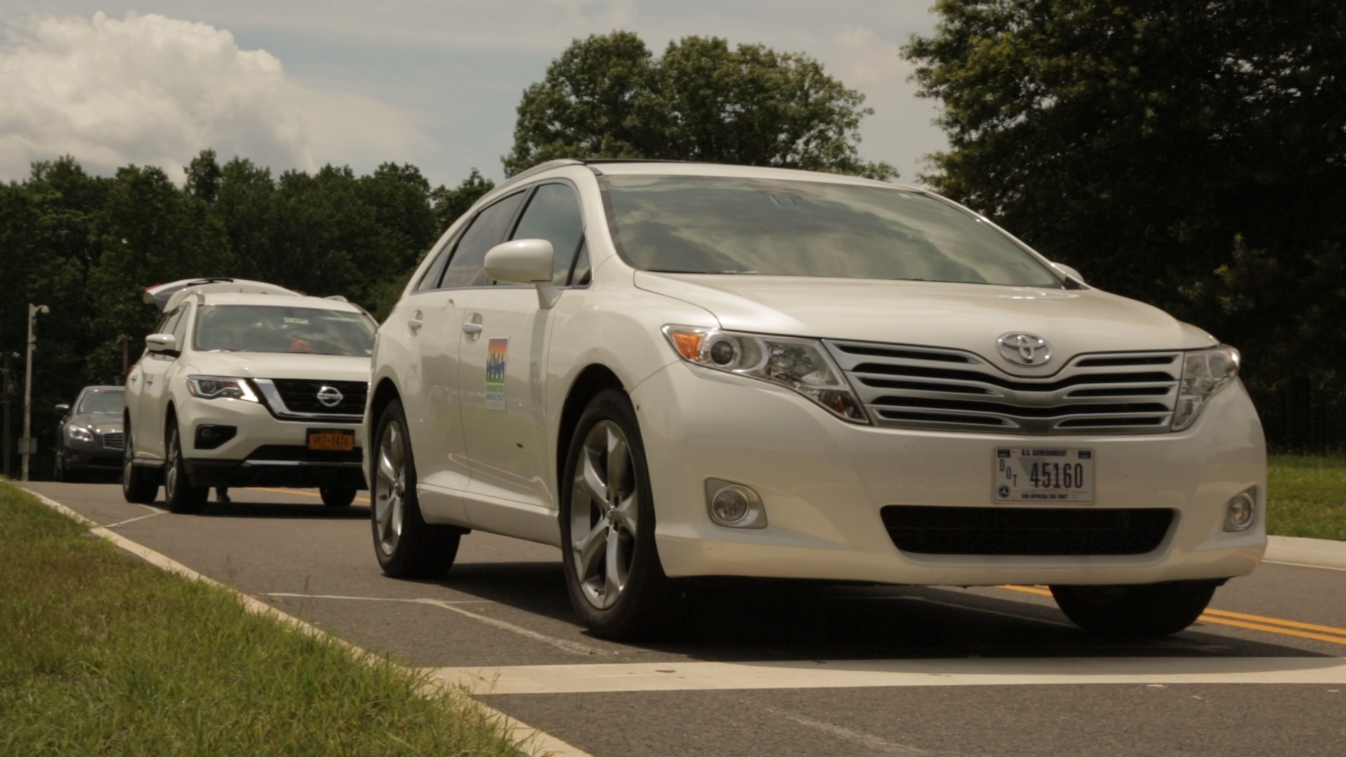
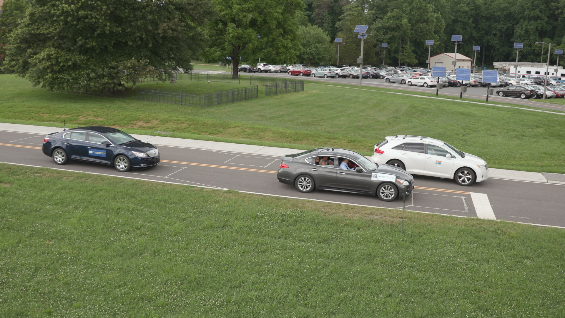
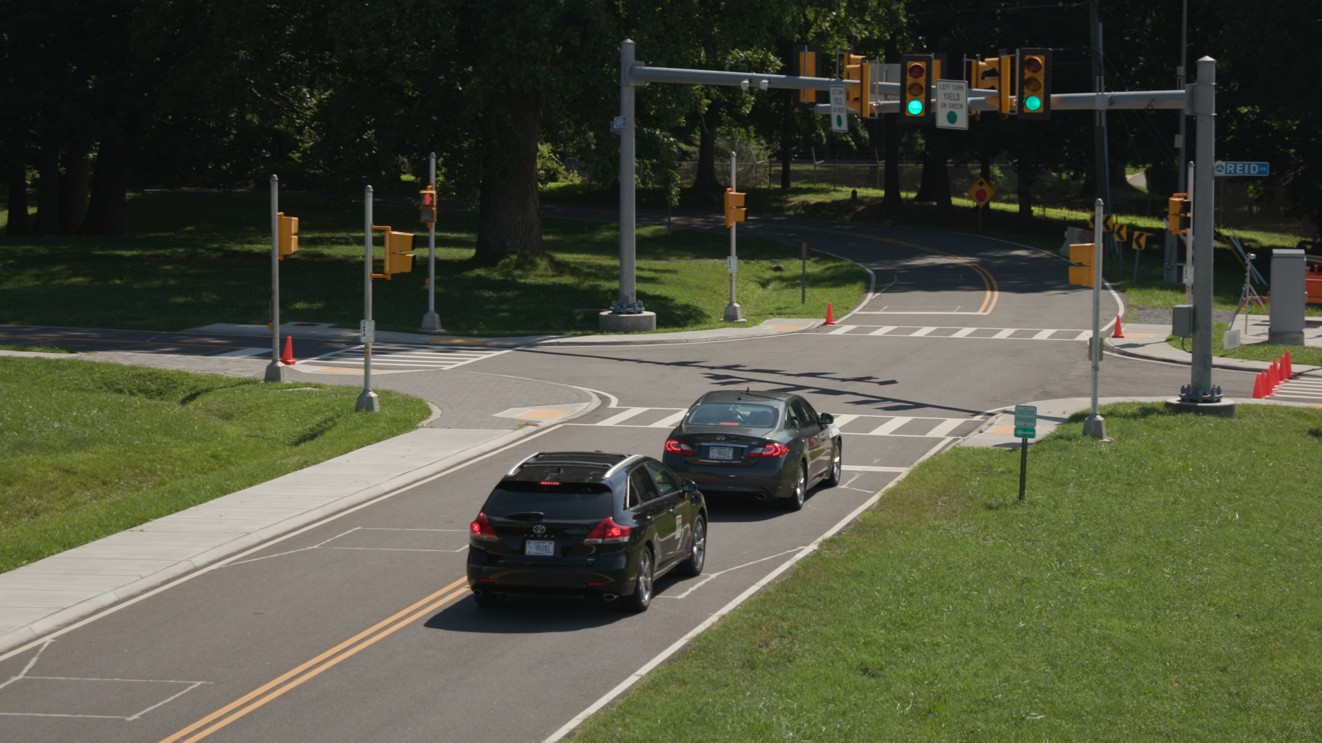
Connected Vehicles
Photographs depicting the use, features and future of connected vehicle technology.
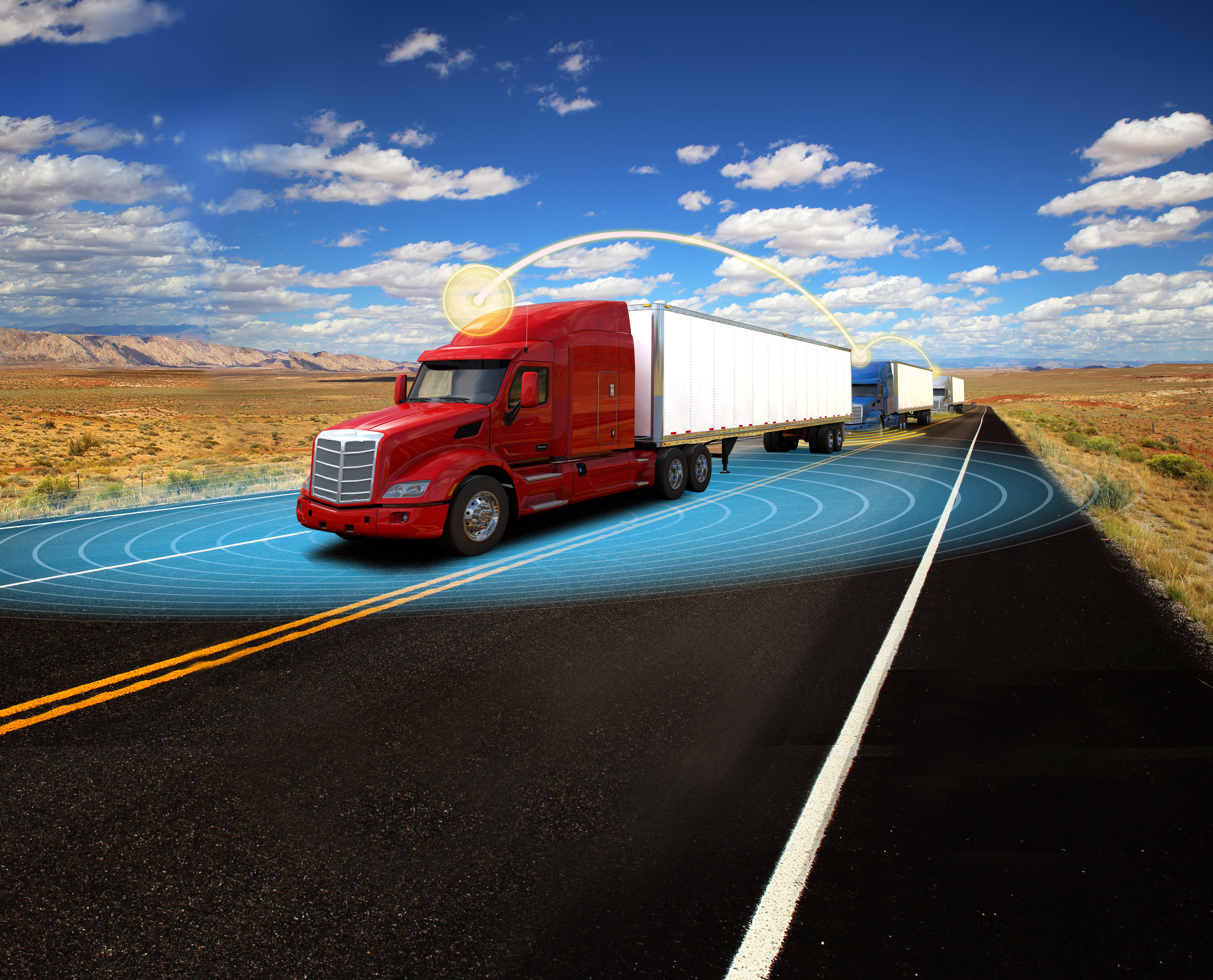
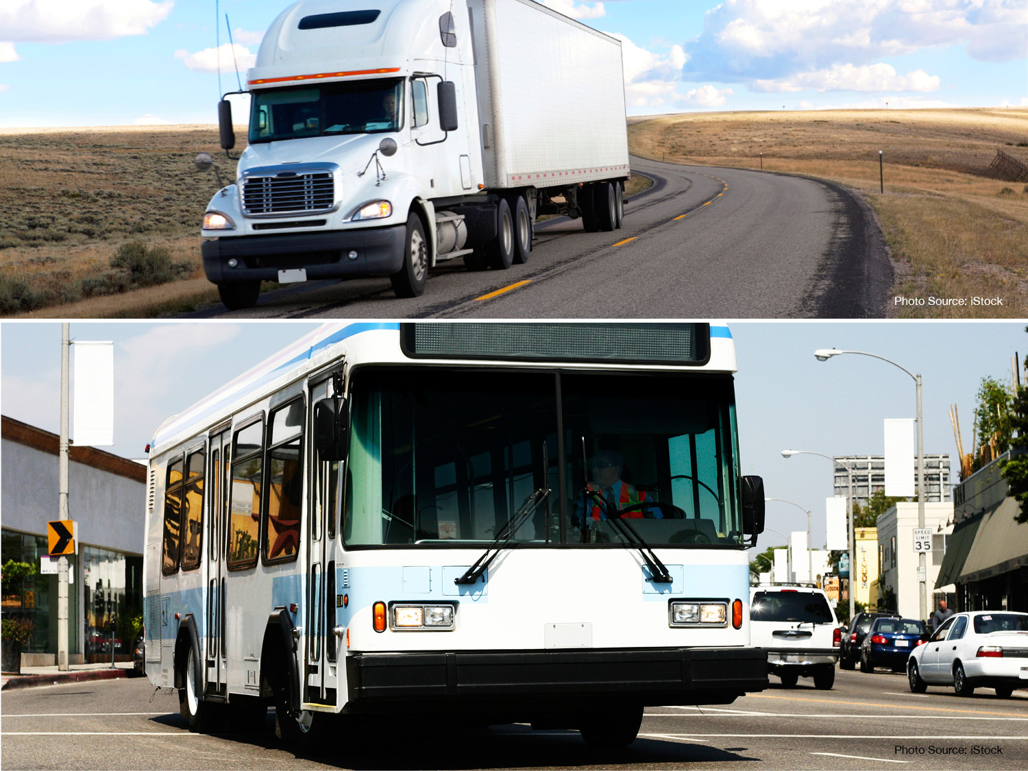
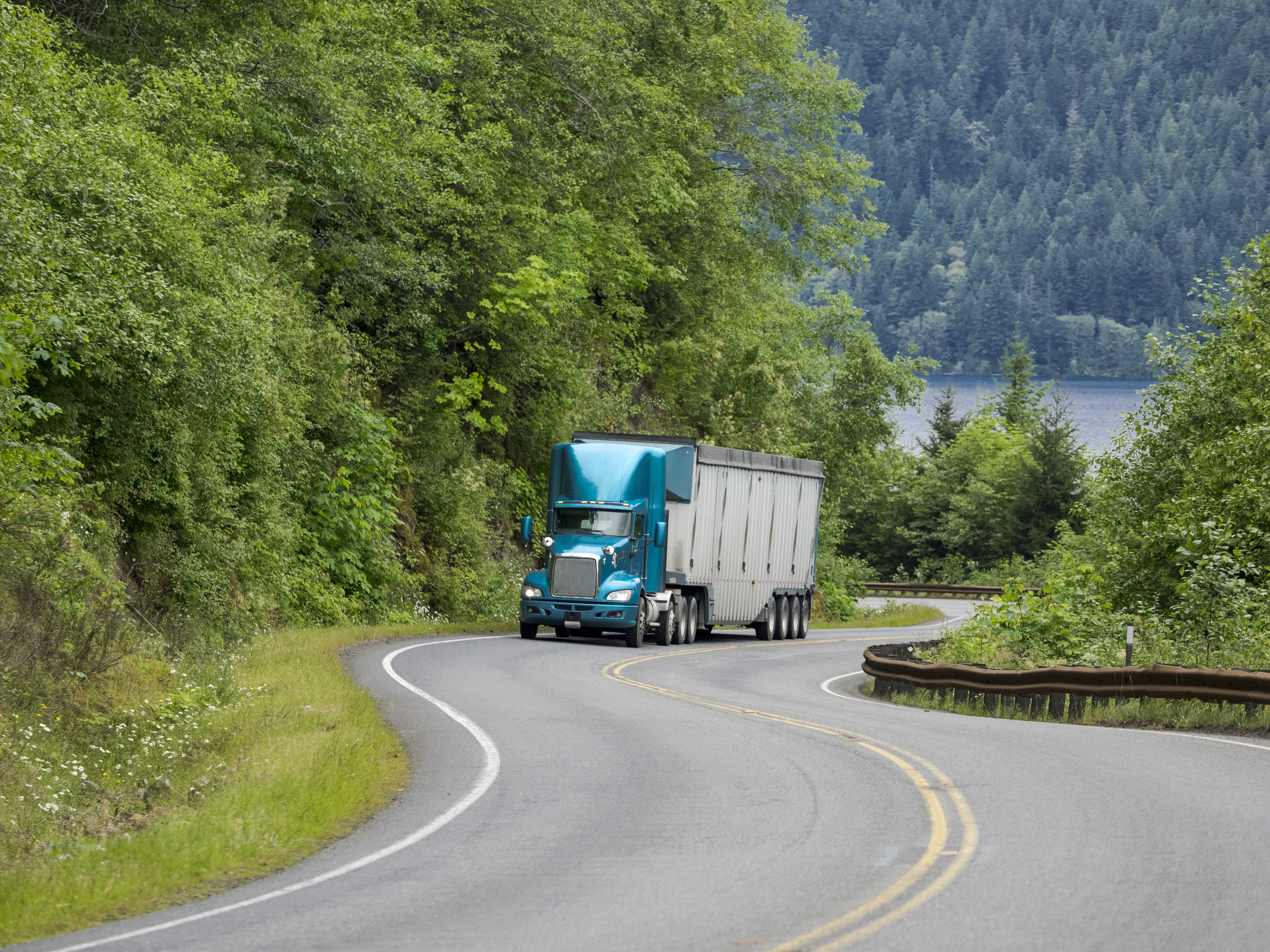
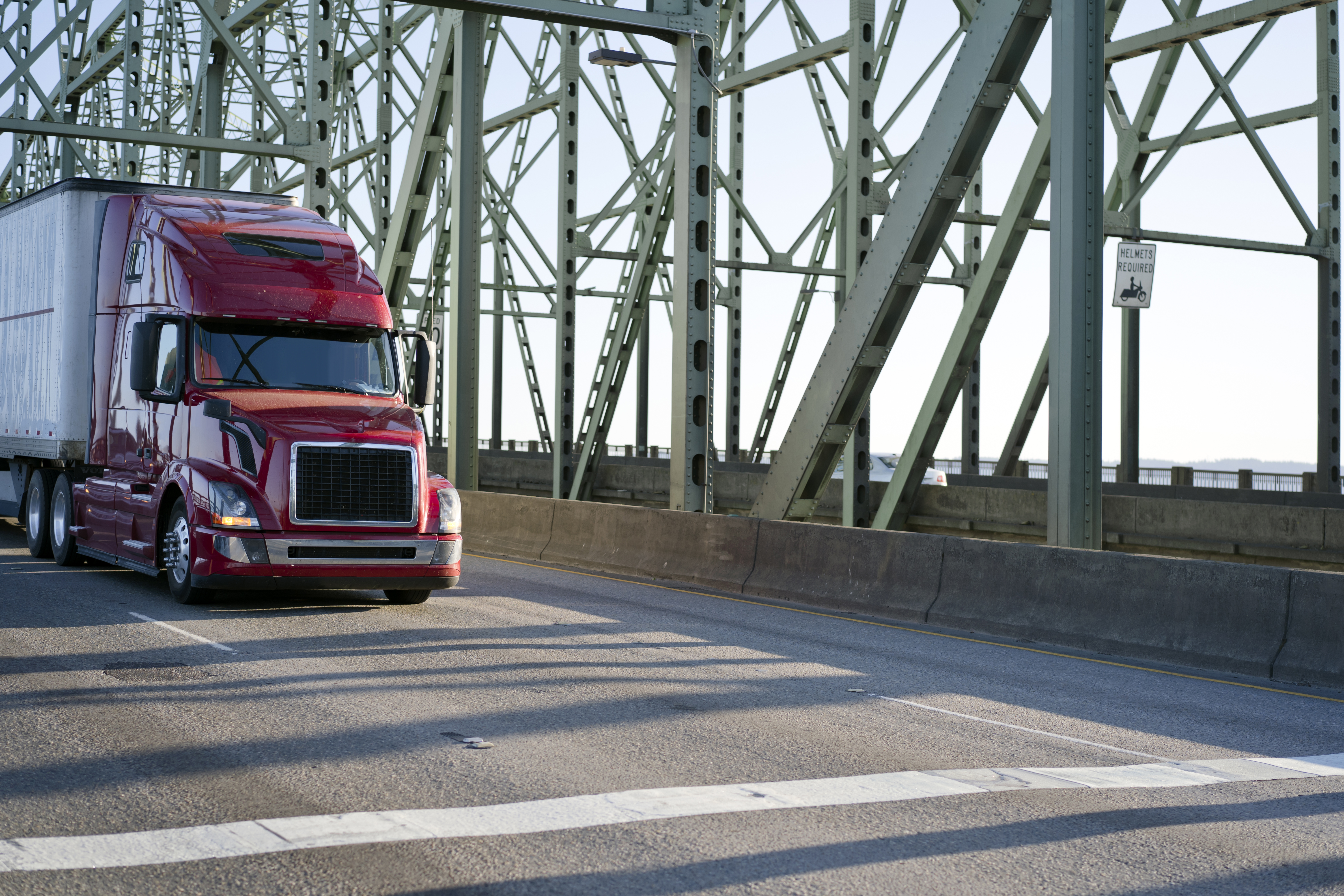
1. Single Truck Traveling on Highway
2. Sedan Traveling on Road
3. Connected Vehicles in City Center
4. Connected Vehicle Technology in Town Center
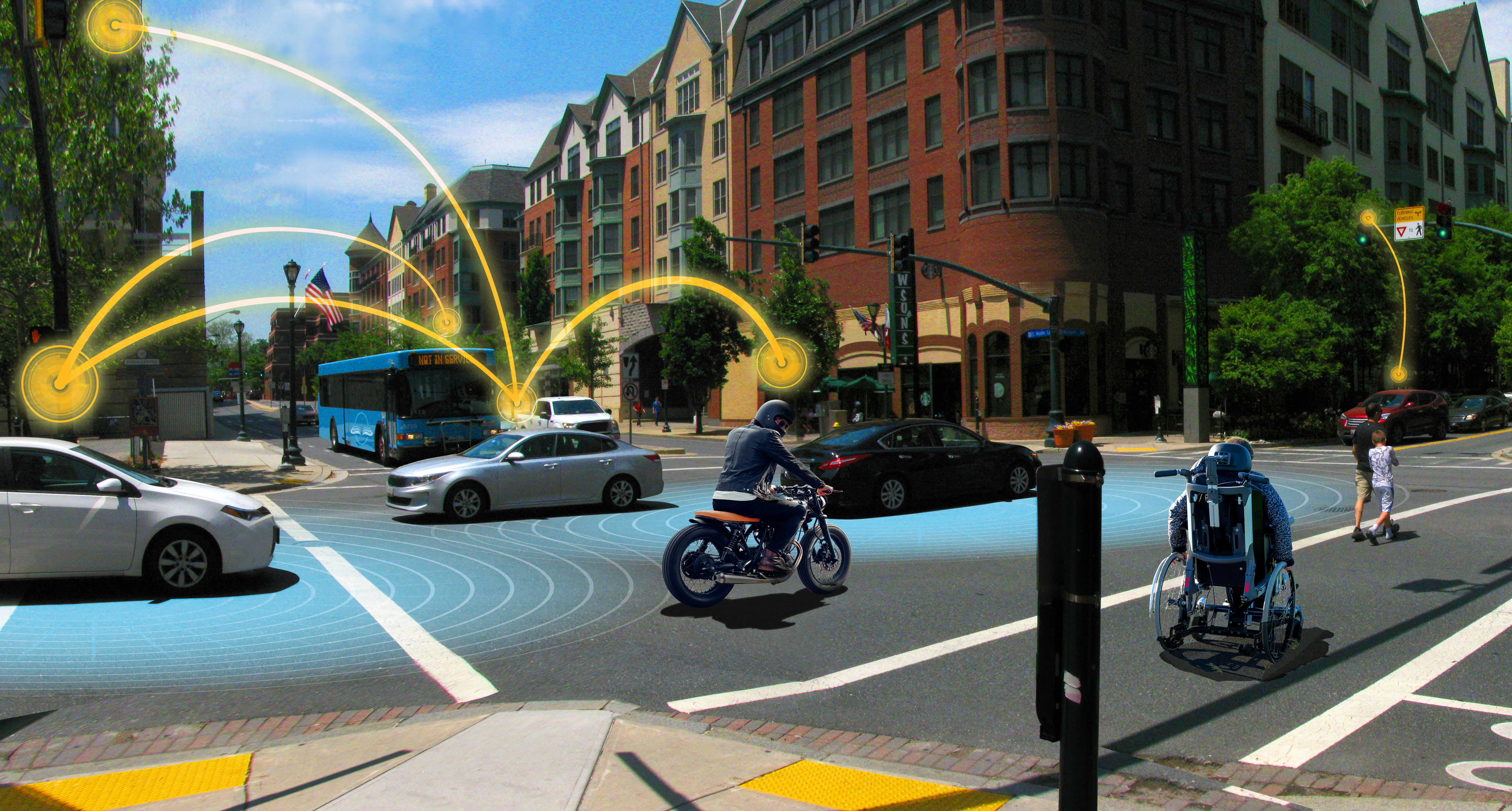
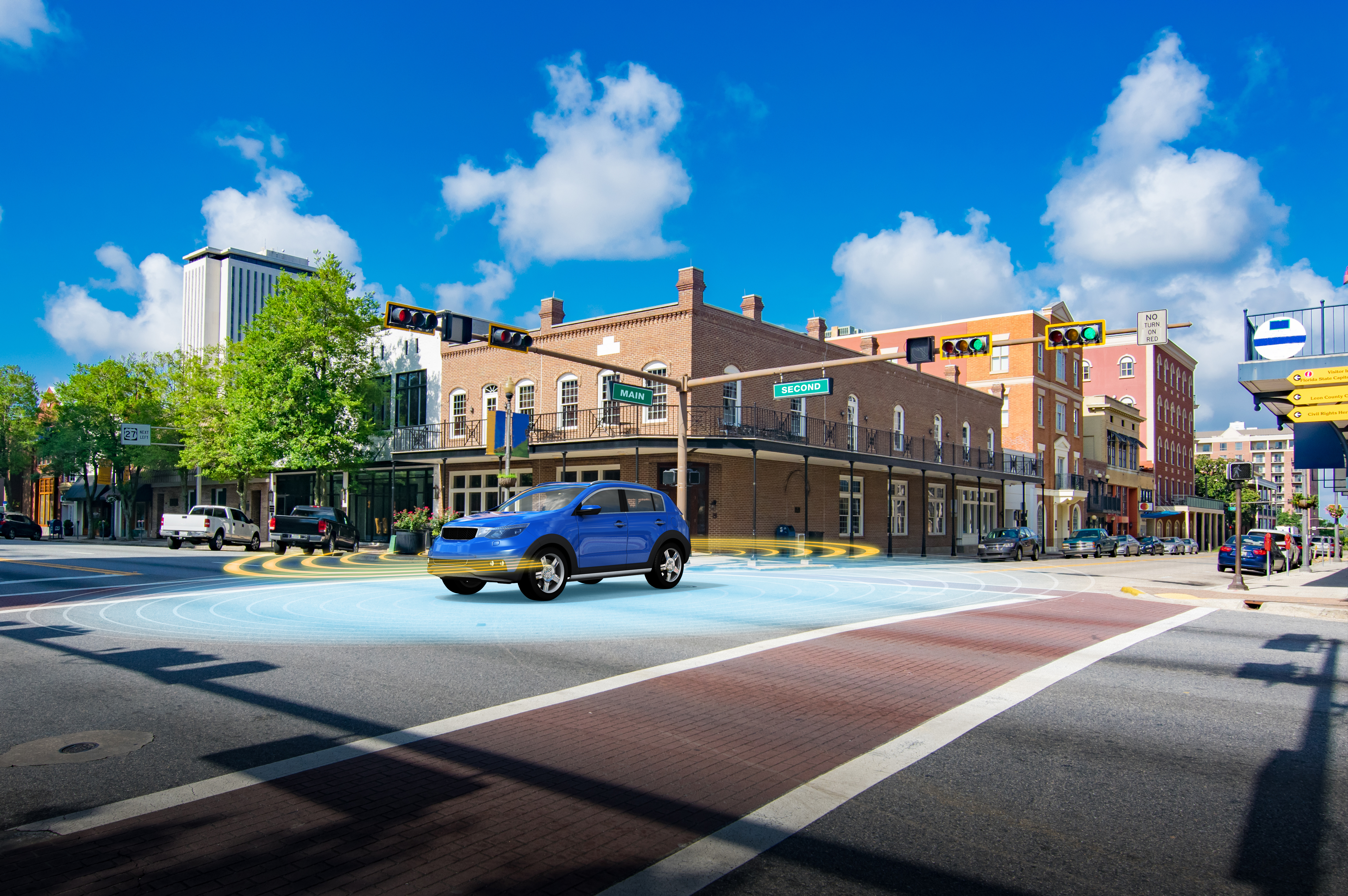
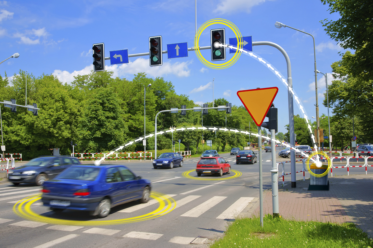
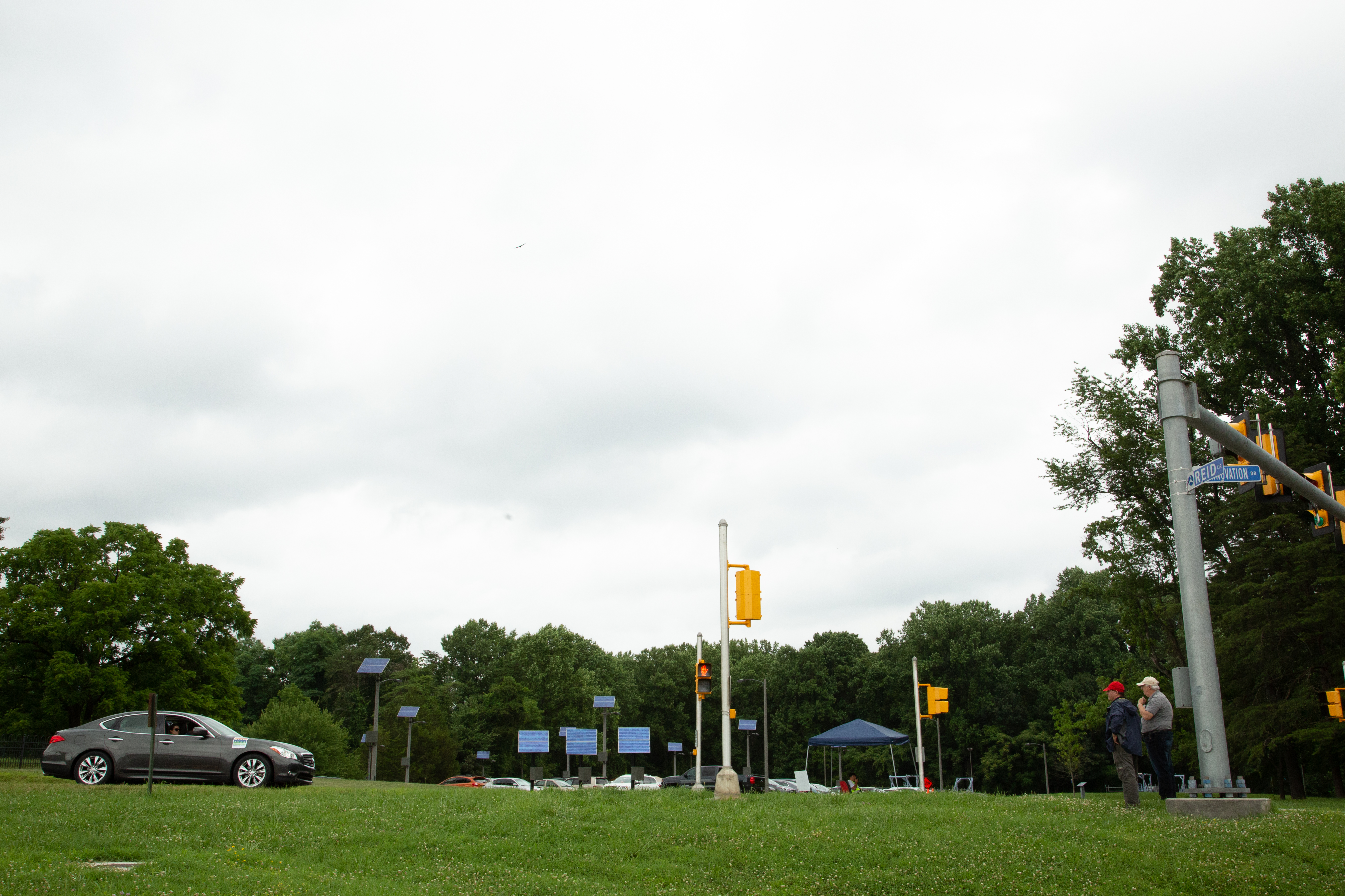
5. Connected Vehicles at Intersection
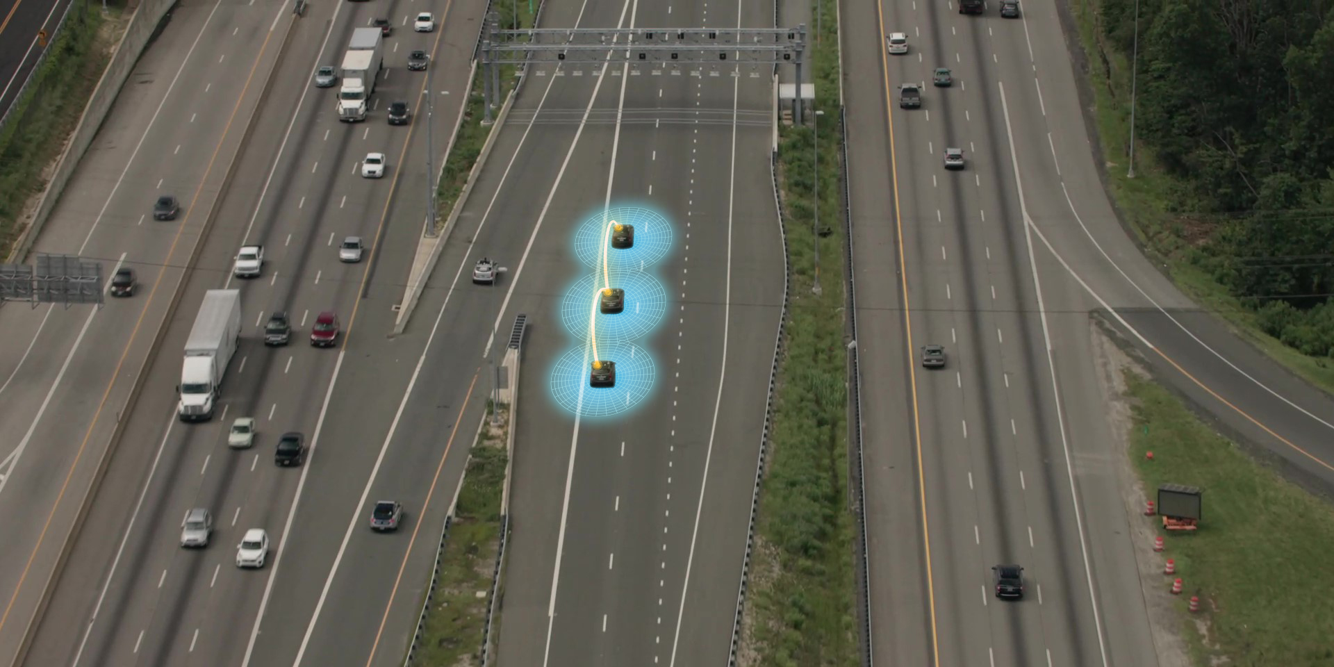
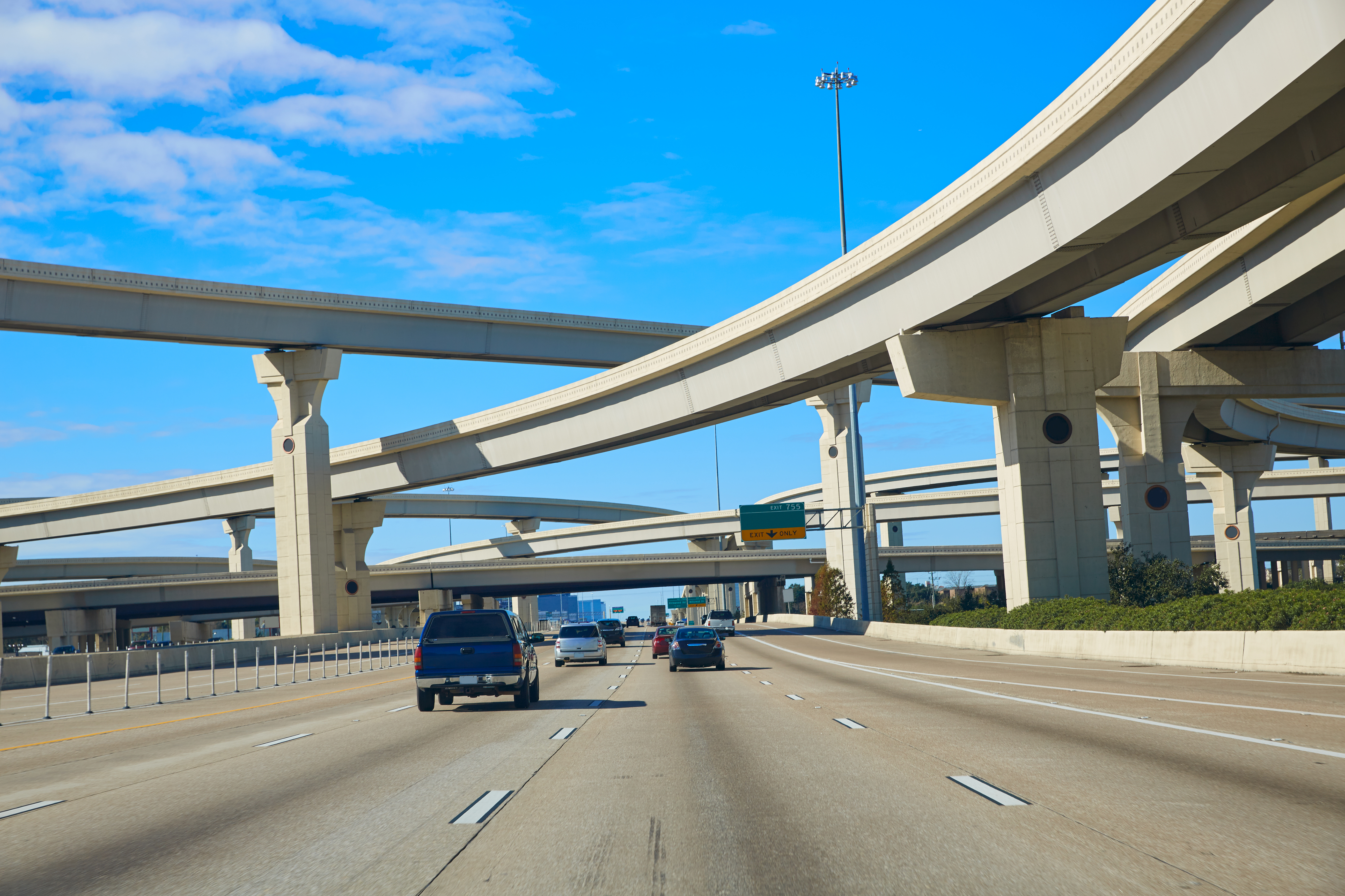
6. Connected Vehicles Traveling on Highway
7. Connected Intersection
8. Connected Intersection Top-down
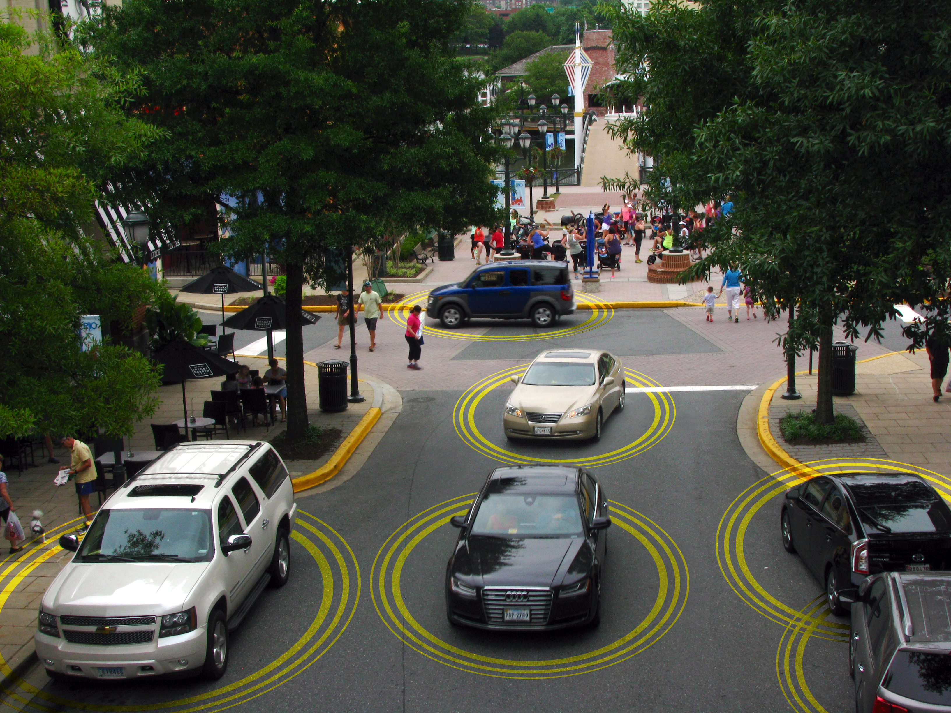
9. Busy Connected Intersection
10. Sample Connected Vehicle Applications
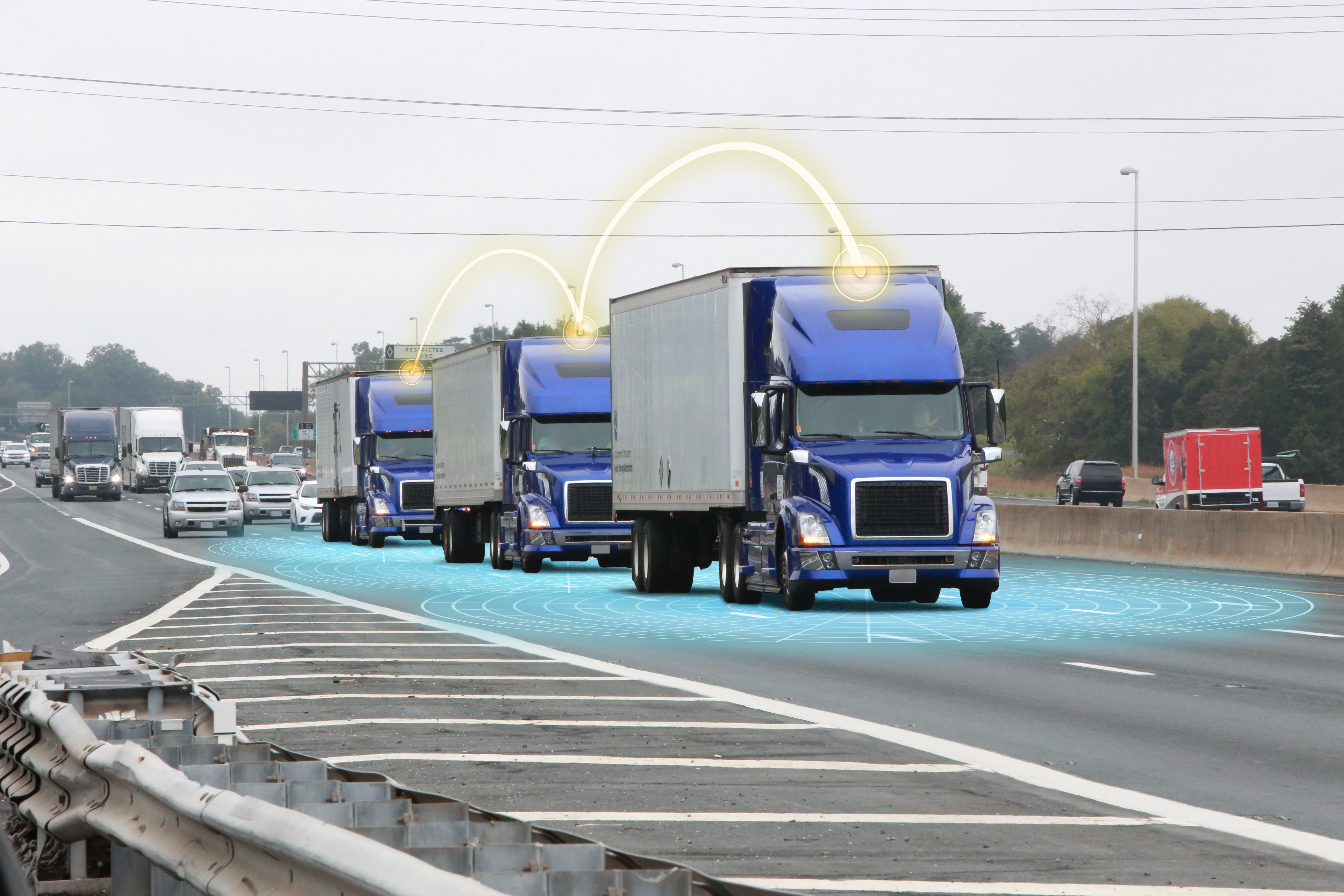
12. Dynamic Road Side Platooning
13. Side View Mirror Warning
14. Rush Hour Connected Vehicle Exit
15. Connected Vehicle Turning at Intersection
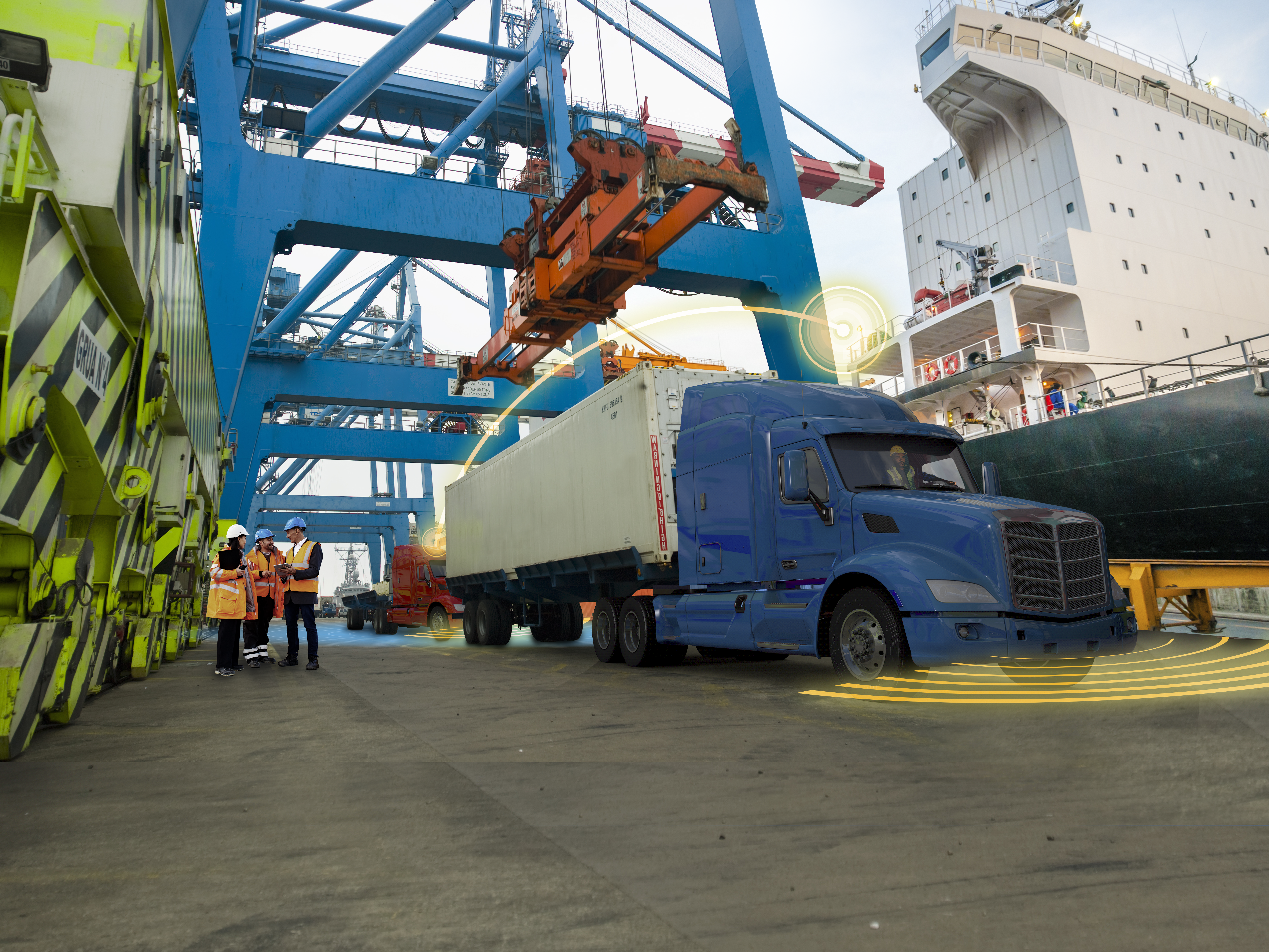
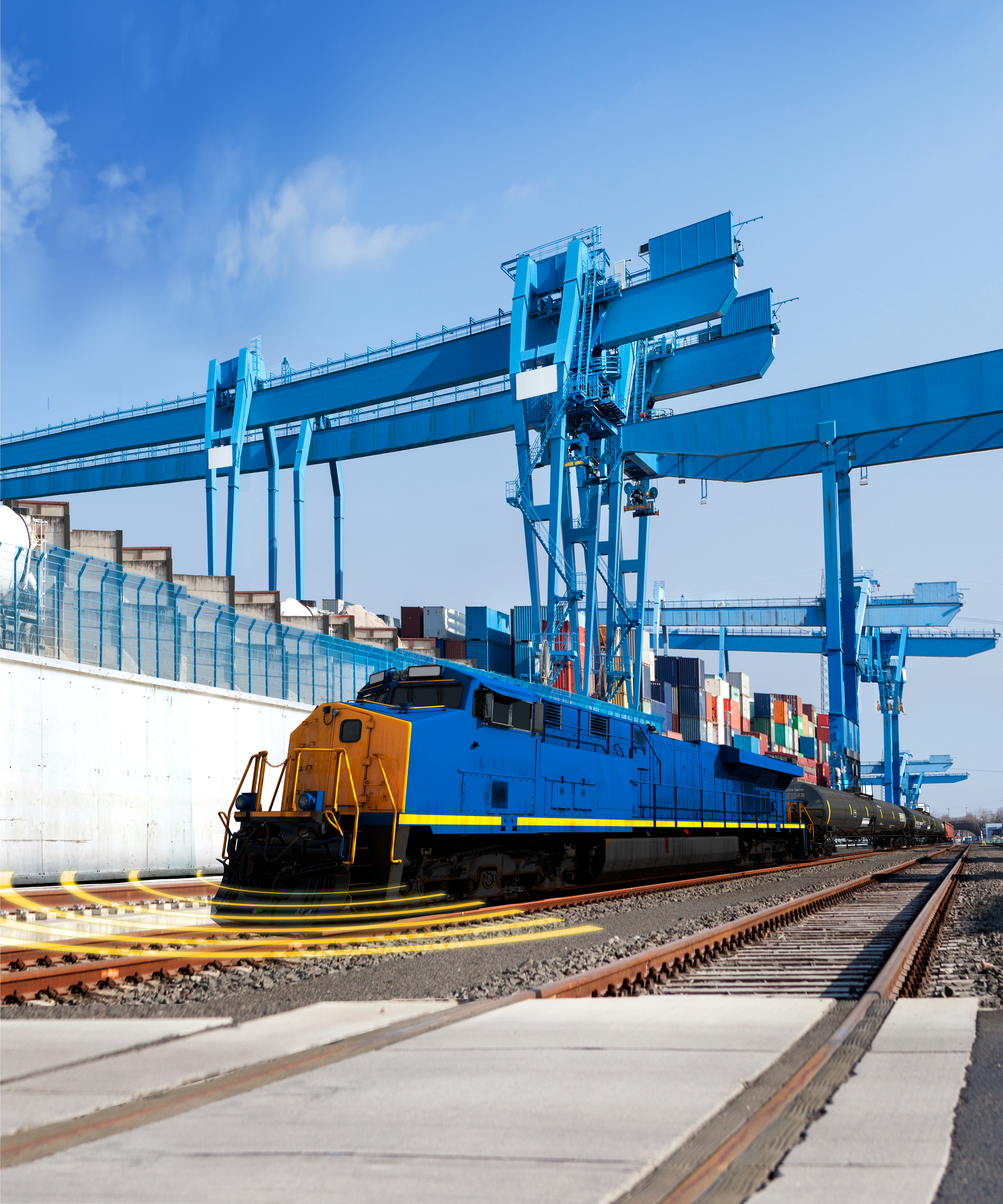
16. Freight and Transit Connected Vehicles
17. 5.9Ghz Spectrum Interference
18. Connected Transit Traffic Congestion
19. Connected Vehicle Intersection Stop
20. Connected Vehicle Construction Zone Warning
21. Emergency Electronic Brake Light Warning
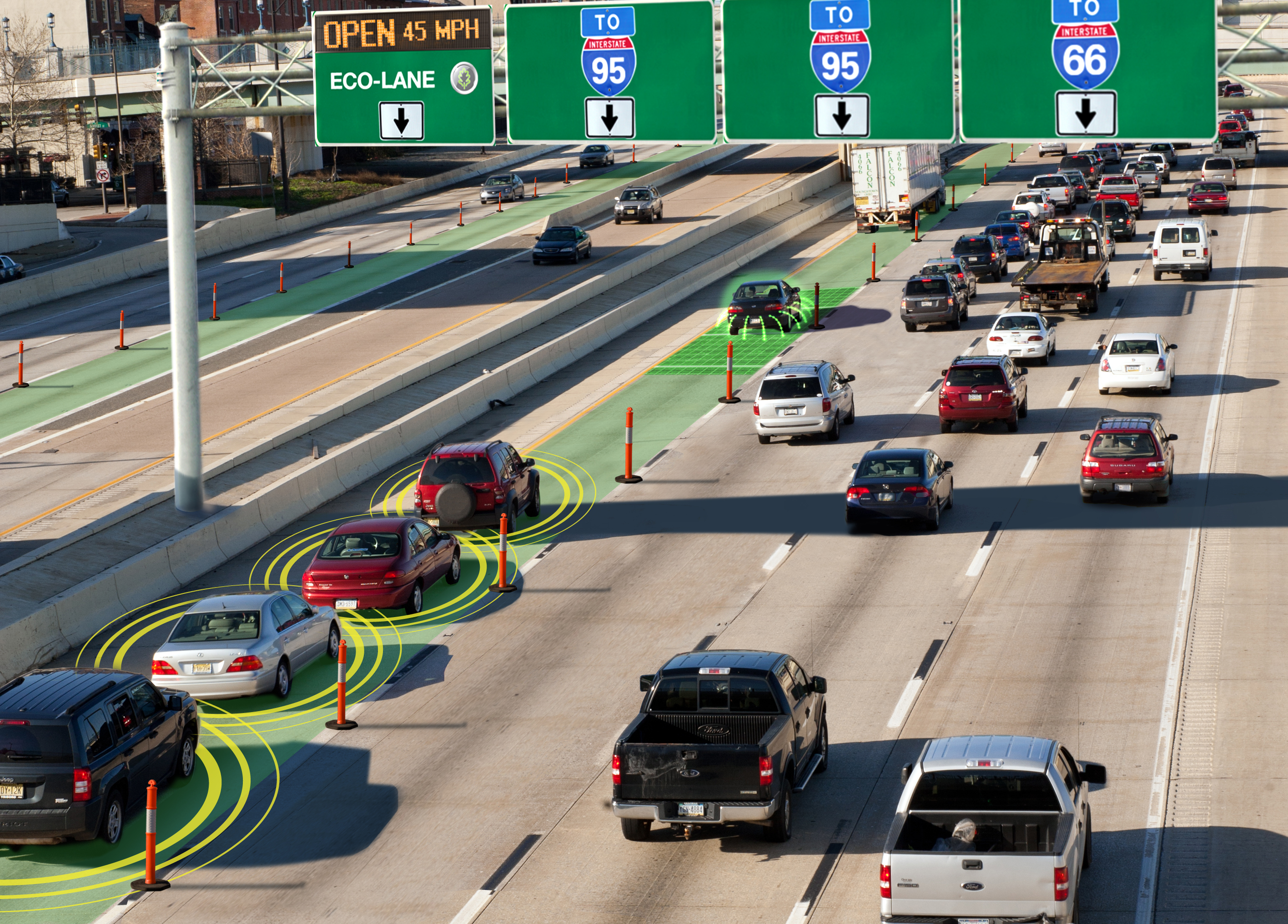
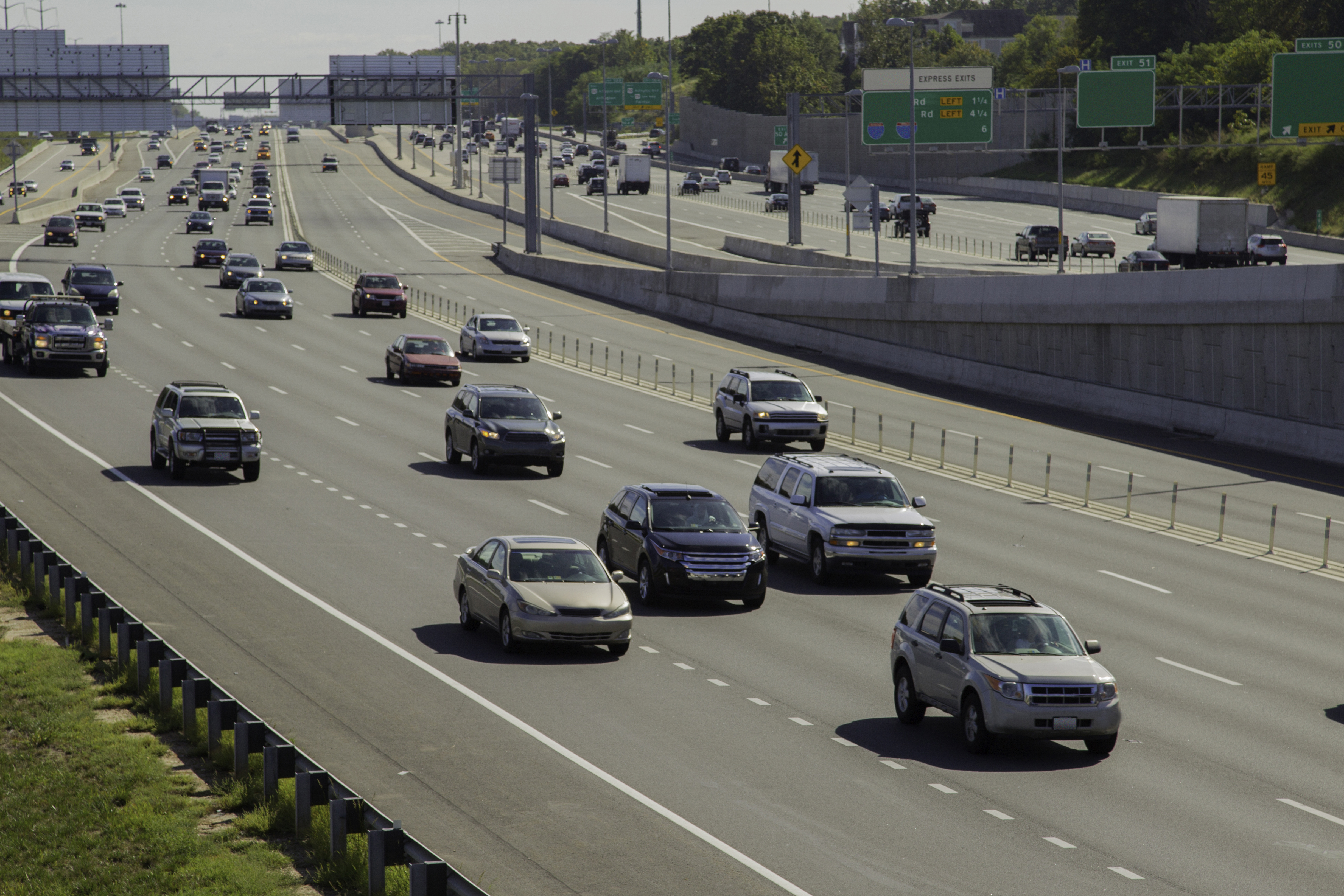
22. Connected Vehicle Highway Congestion
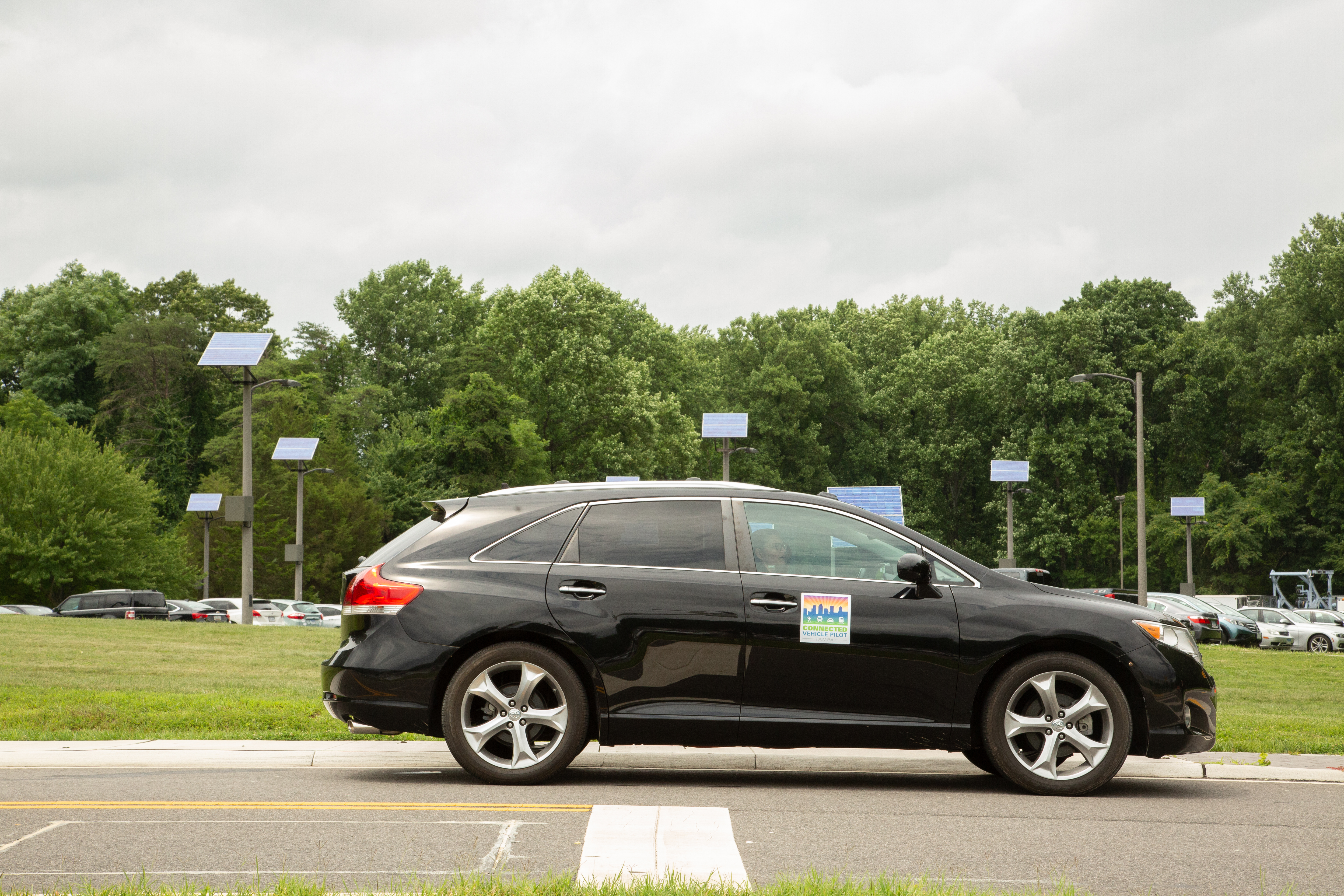
23. Connected Vehicle Sedan Downtown
24. Connected Truck and Transit Vehicle
25. Smart Parking Application
26. Connected Vehicles Smart Roadside
27. Connected Vehicles Technology Assessment
28. Connected Vehicles Busy Intersection
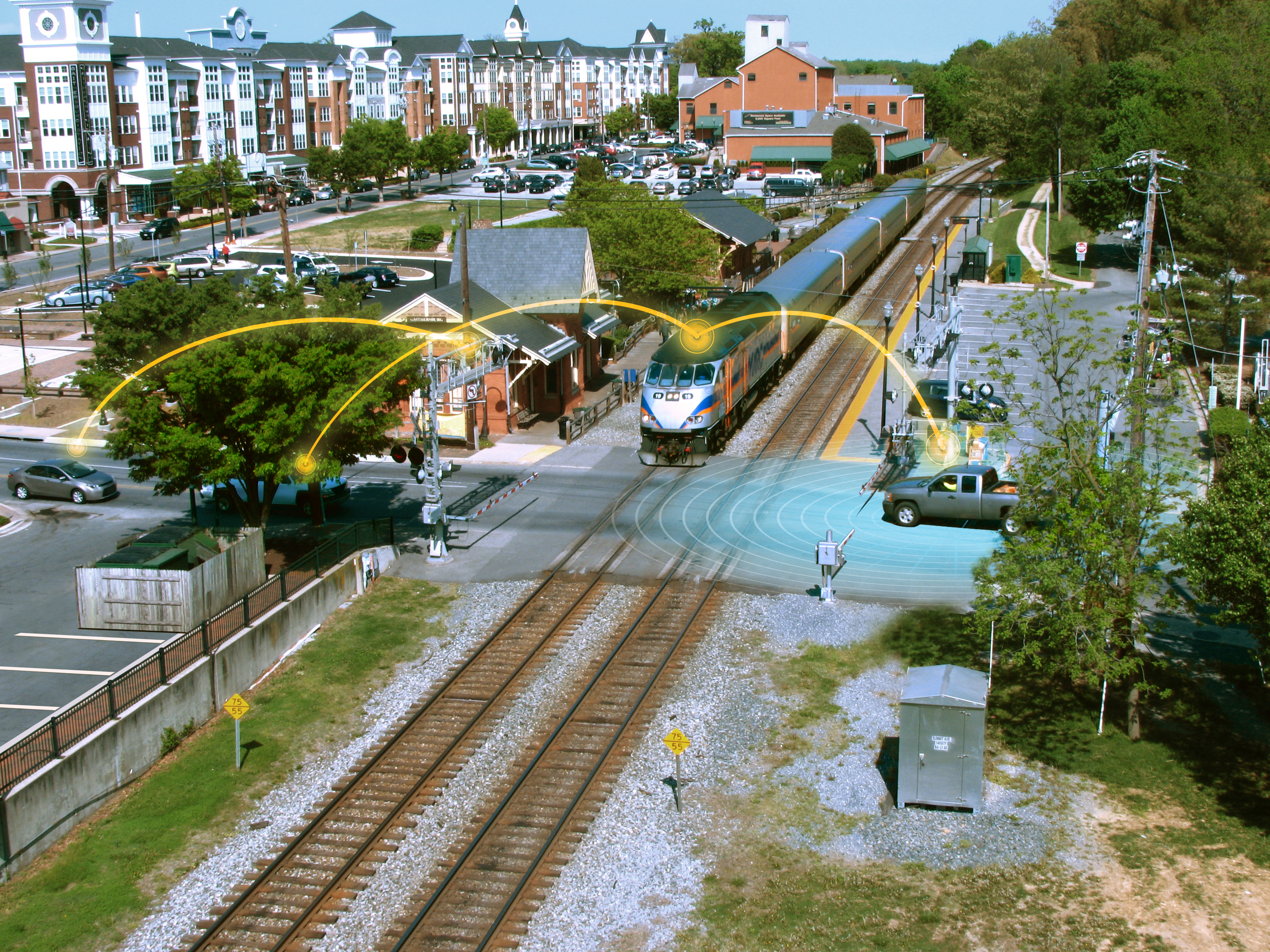
29. Connected Transit Train
30. Connected Trolley in Traffic
31. Connected Tram and Freight Vehicle
32. Connected Freight Vehicles Highway
33. Connected Vehicle Weather Application
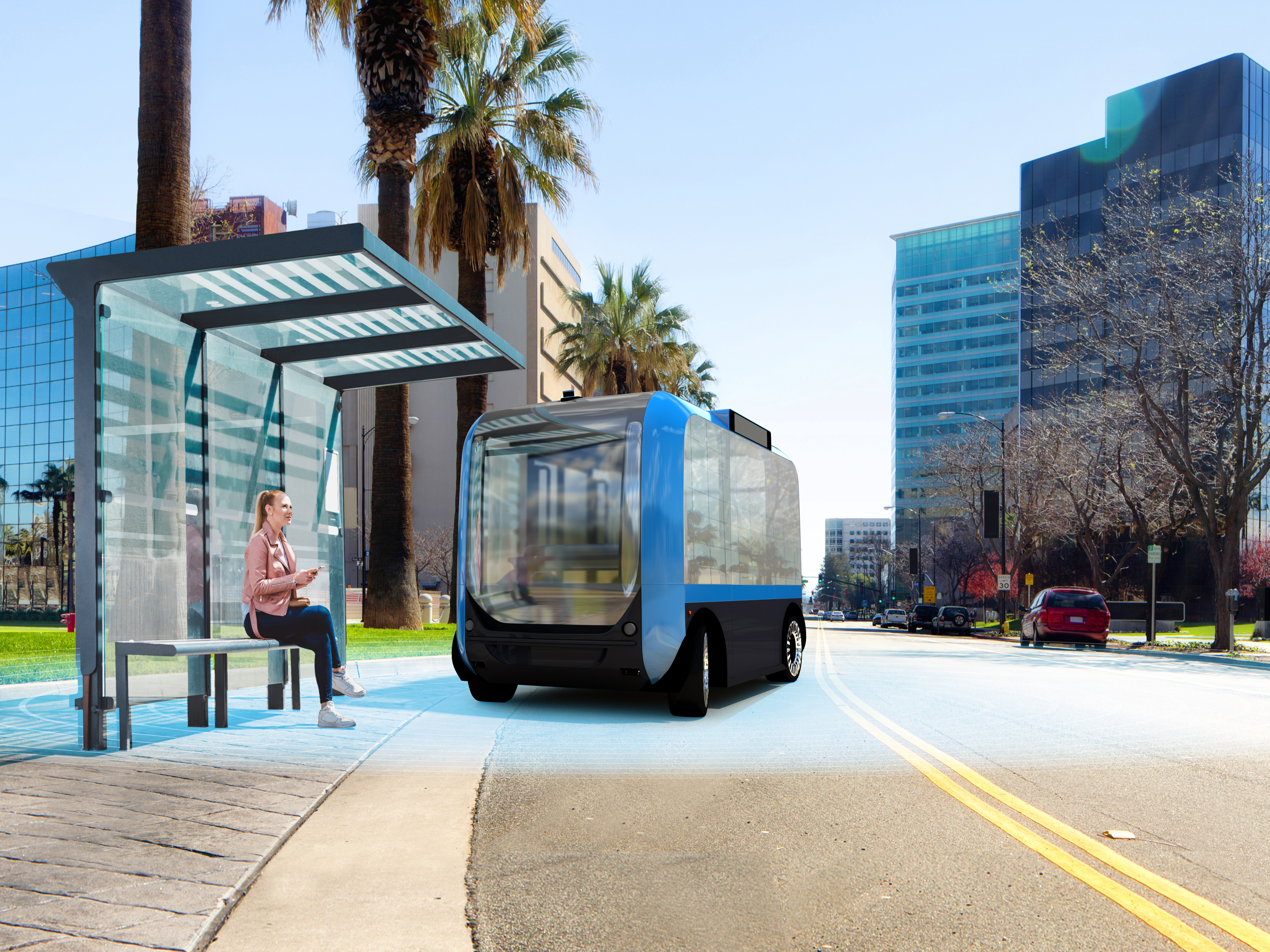
34. Connected Transit Application
35. Tampa Traffic Congestion
36. Tampa Transit Authority
37. Tampa Downtown Transit
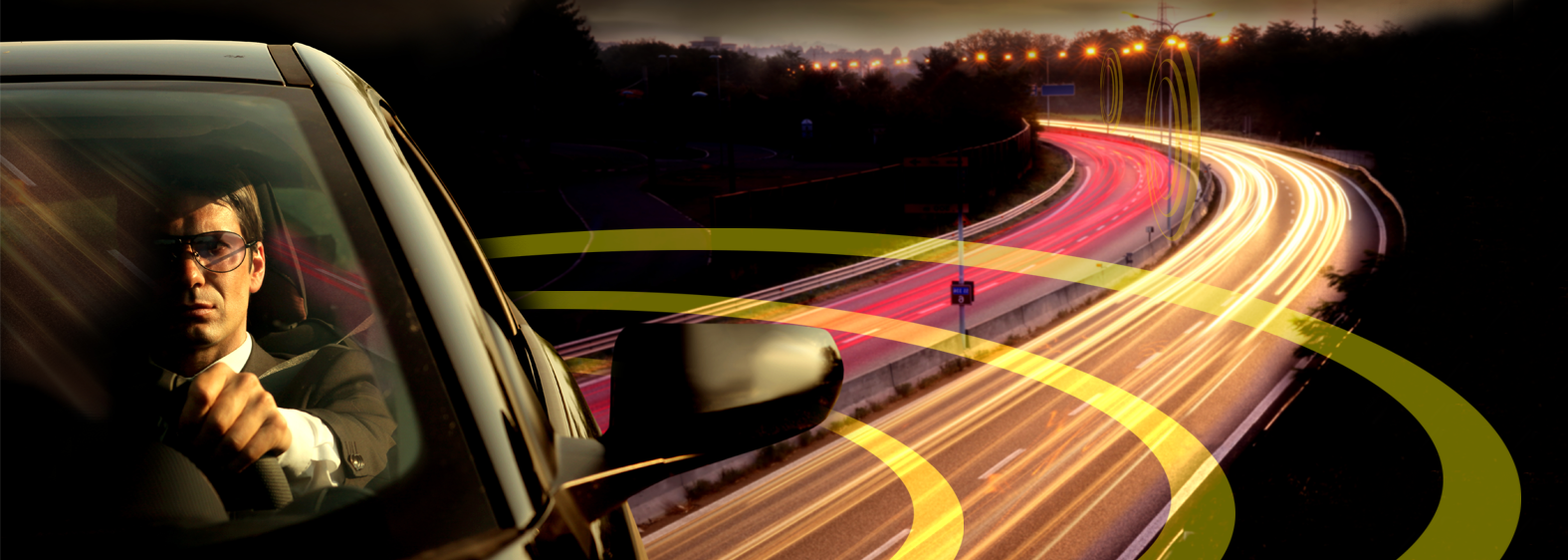
38. Abstract Connected Vehicle Highway
39. CV Construction Zone Warning
40. Types of CV Messages Delivered
41. CV Do Not Pass Dashboard Warning
42. Sample Connected Vehicle Application
43. Connected Vehicle Busy Intersection
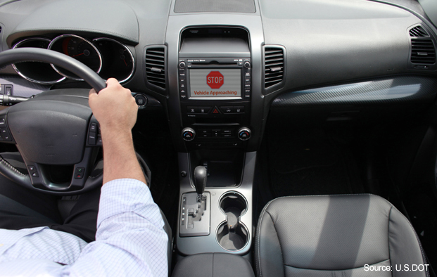
44. CV Vehicle Approaching Warning
45. CV Dashboard Collision Alert
46. Connected Freight Carrier
47. Connected Freight Carrier and Car
48. Connected Freight Carrier Highway
Environment
Photographs depicting ITS technologies that apply to connected and automated vehicle and infrastructure ecology benefits.
1. Platooning AERIS Application
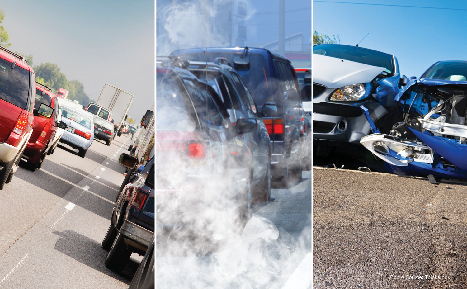
4. CV Crash and Traffic Emissions
Infrastructure
Photographs depicting ITS technologies that apply to connected and automated vehicle and infrastructure benefits.
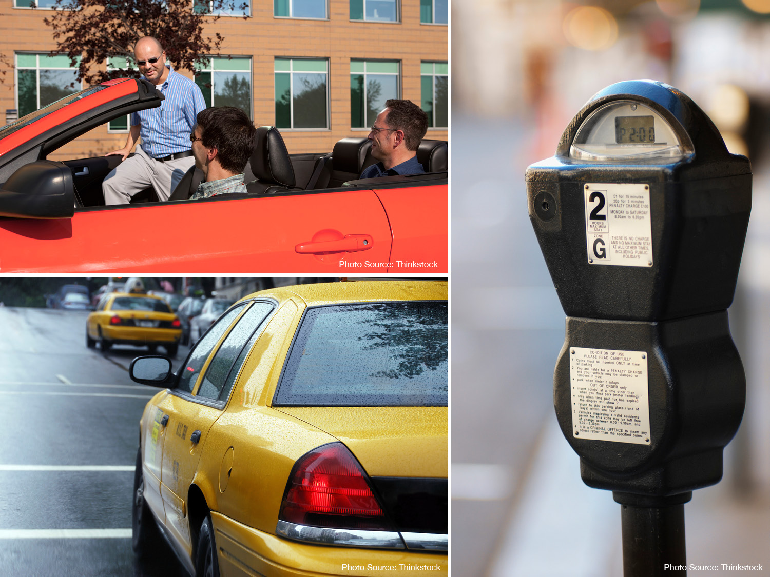
1. Carpool, Taxi and Parking Applications
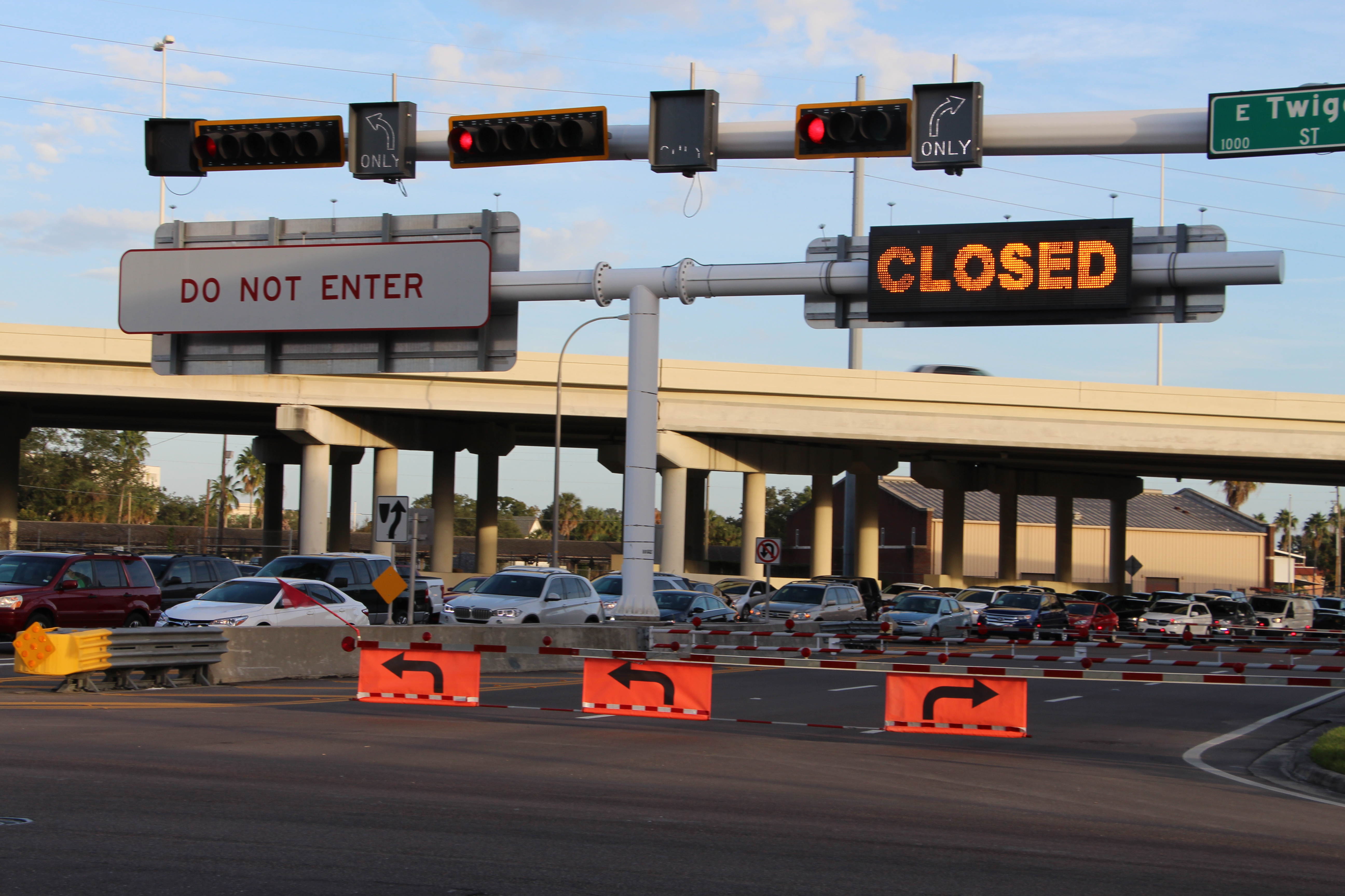
3. Tampa Expressway Lane Reversal
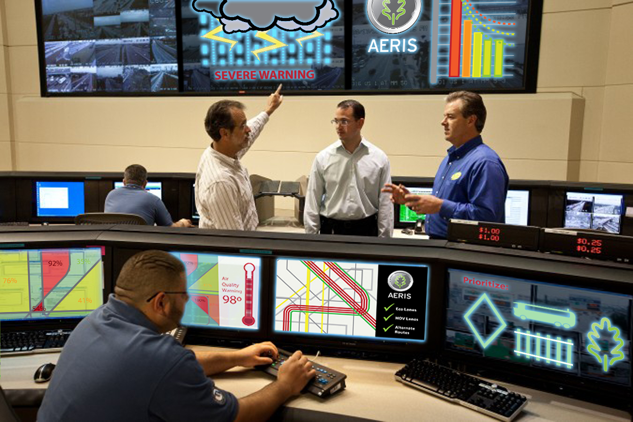
4. Traffic Management Center Air Quality
5. Traffic Light and Roadside Equipment
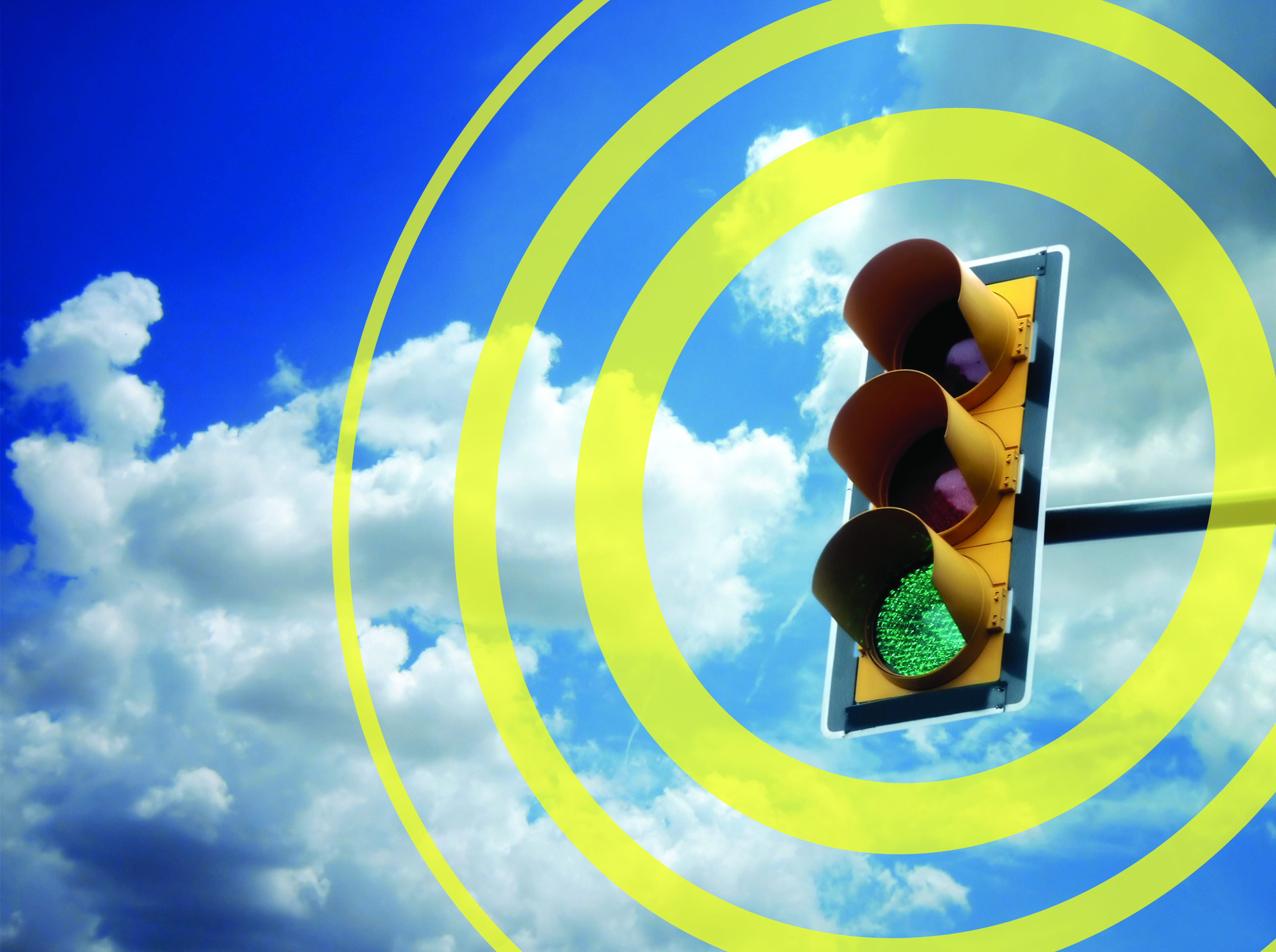
6. Connected Traffic Signal
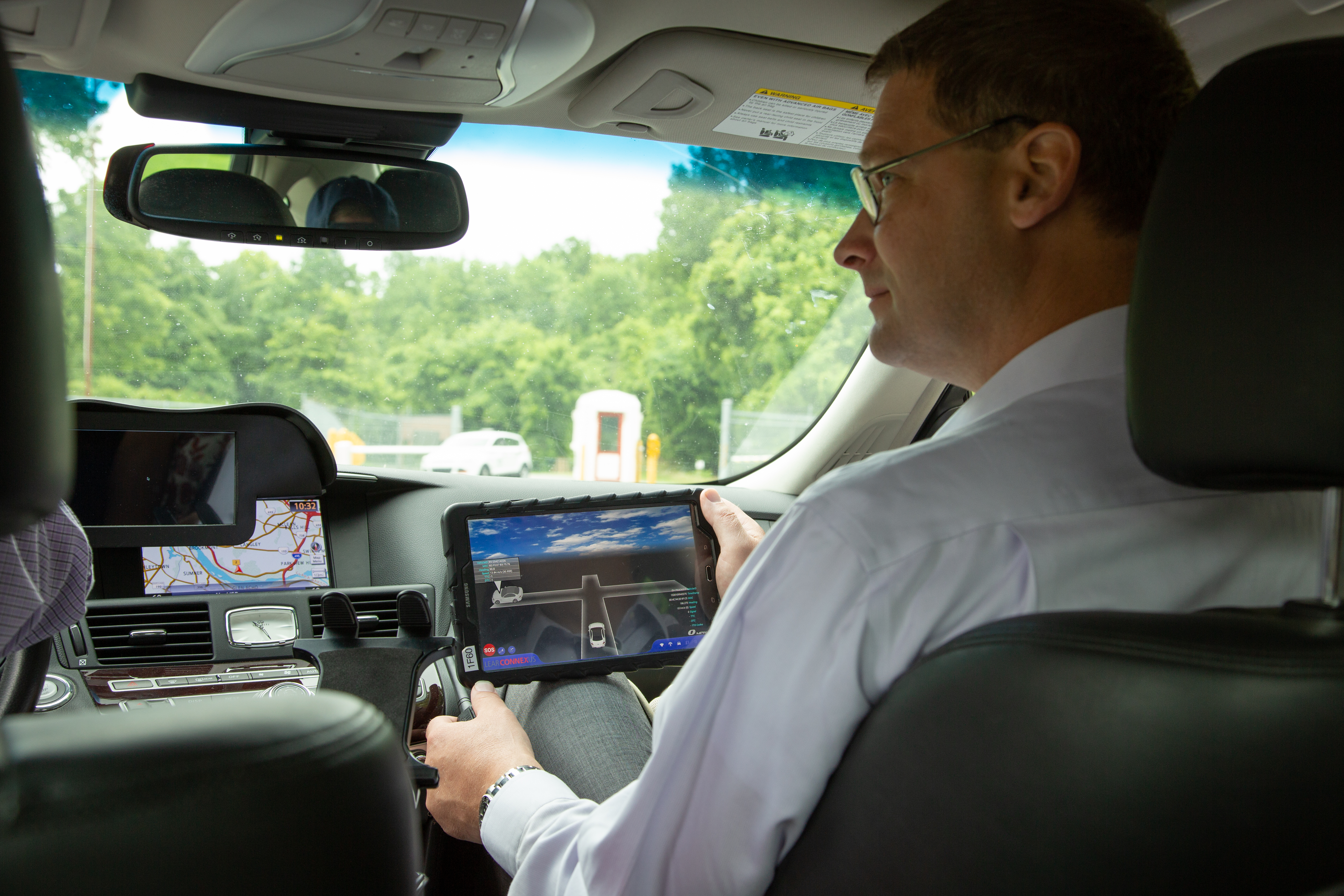
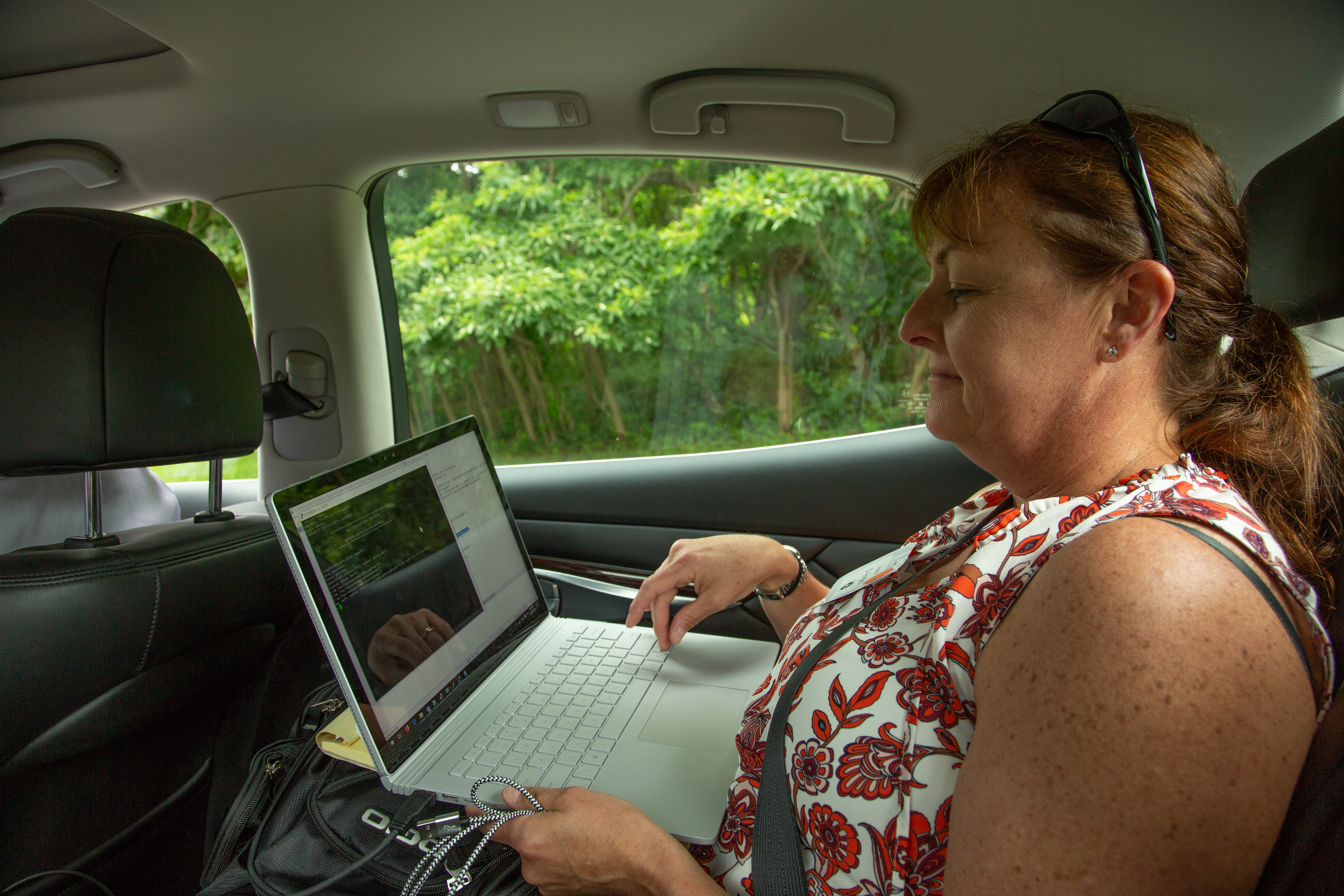
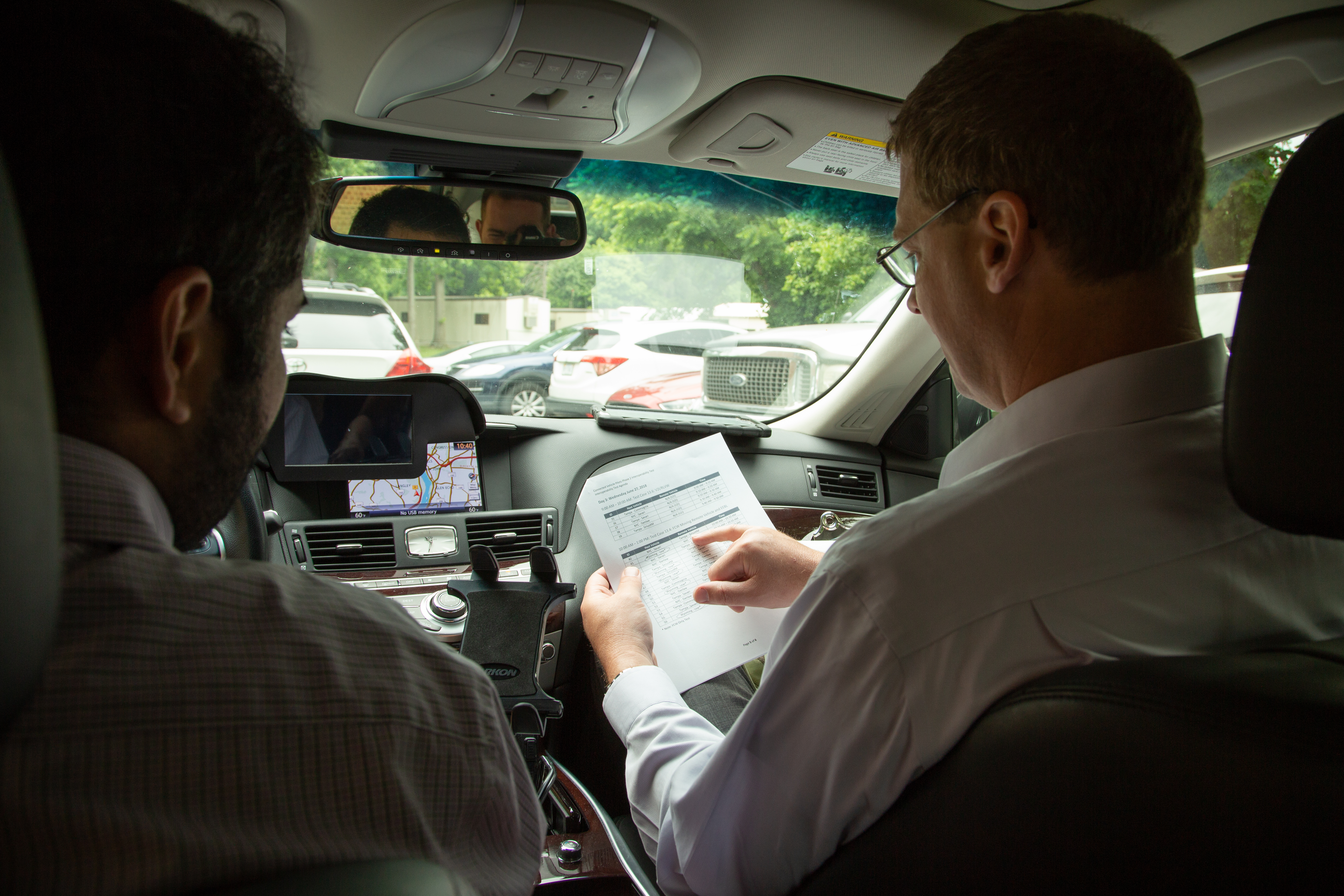
Interoperability
Photographs depicting the Interoperability Demo.
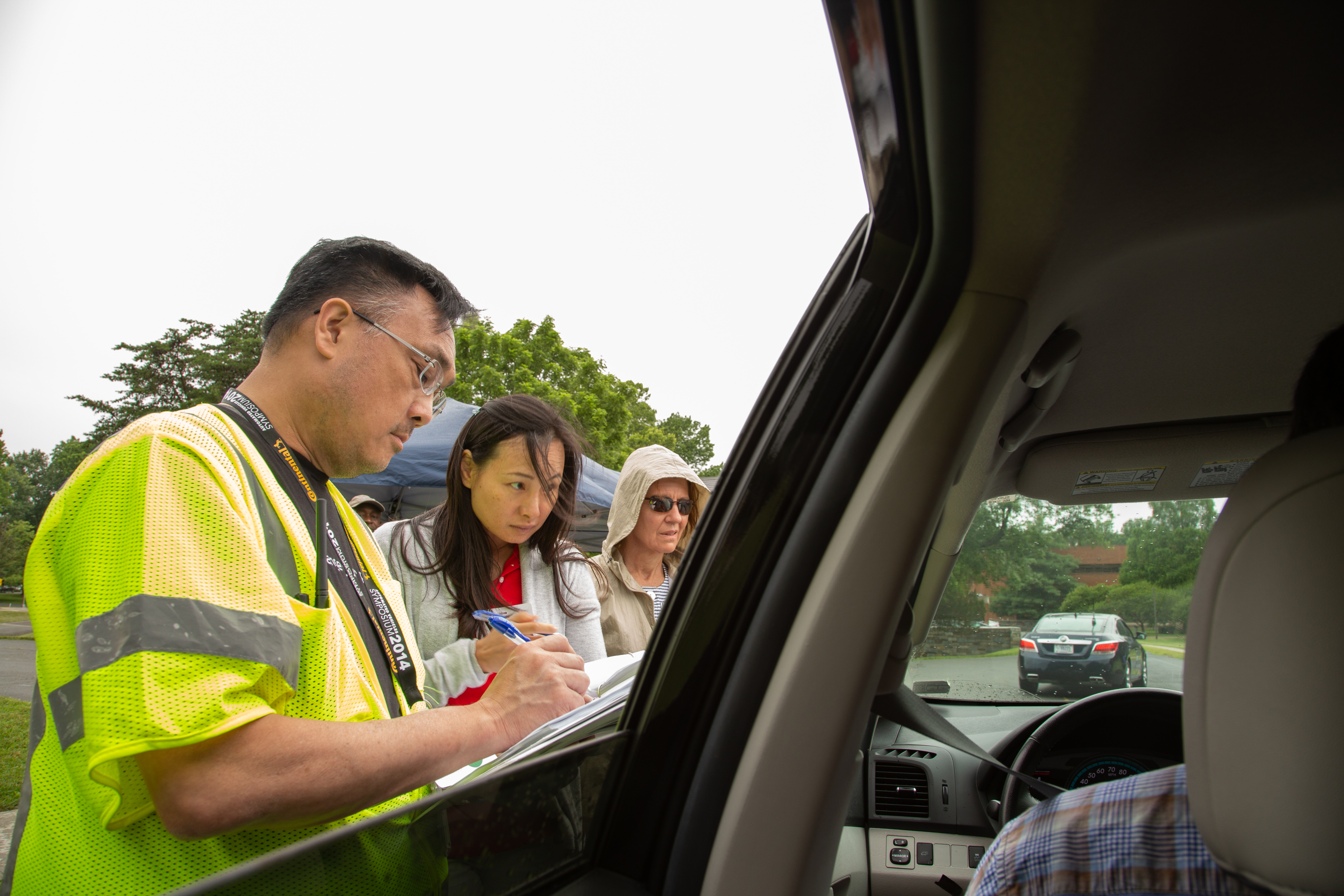
10. Interoperability Demo
11. Interoperability Demo
12. Interoperability Demo
13. Interoperability Demo
14. Interoperability Demo
15. Interoperability Demo
16. Interoperability Demo
17. Interoperability Demo
18. Interoperability Demo
19. Interoperability Demo
20. Interoperability Demo
21. Interoperability Demo
22. Interoperability Demo
23. Interoperability Demo
24. Interoperability Demo
Motorcycles
Photographs depicting the use, features and future of motorcycle connected vehicle technologies.
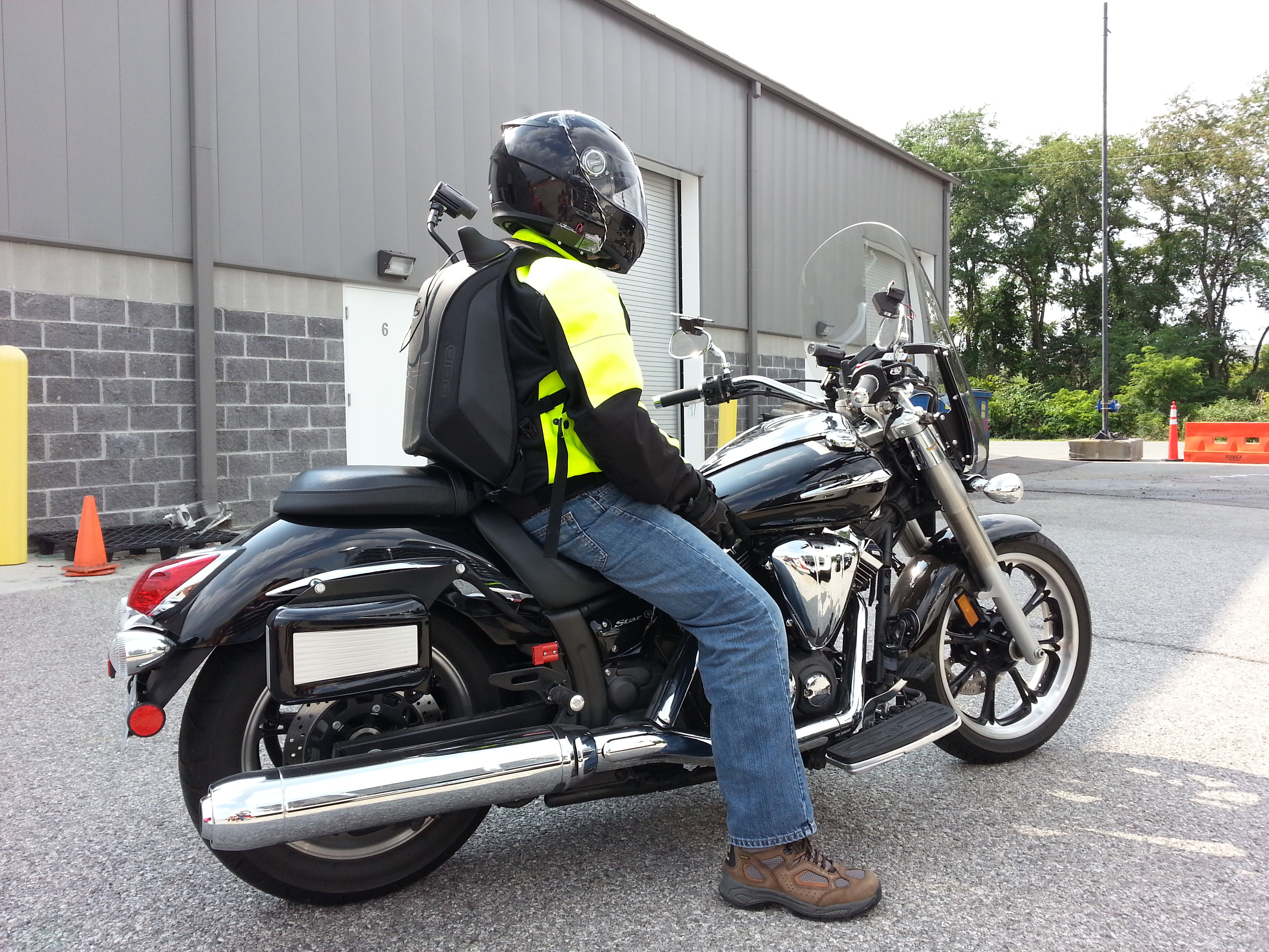
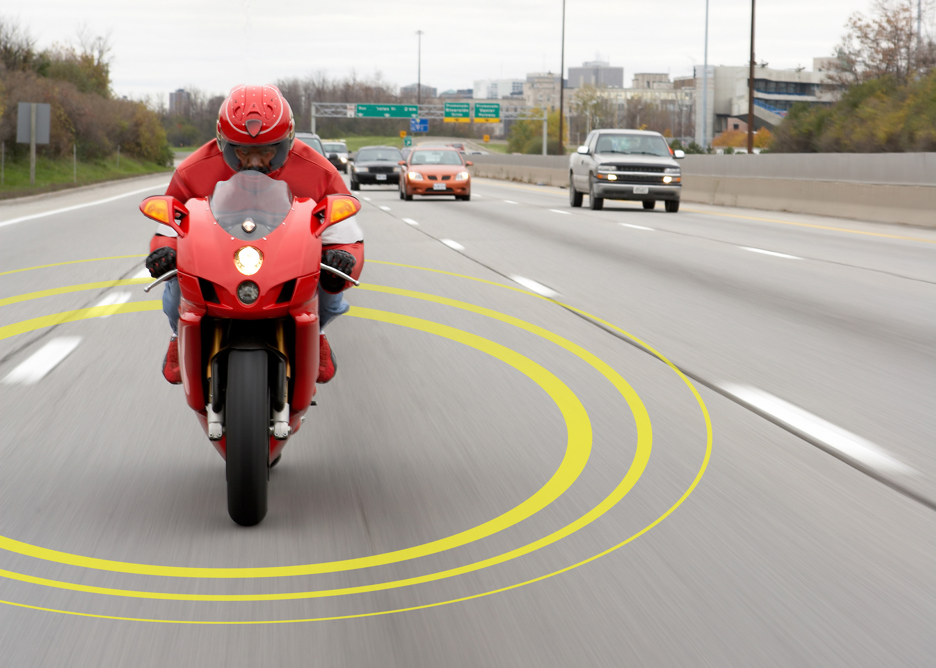
1. Parked Motorcycle with Rider
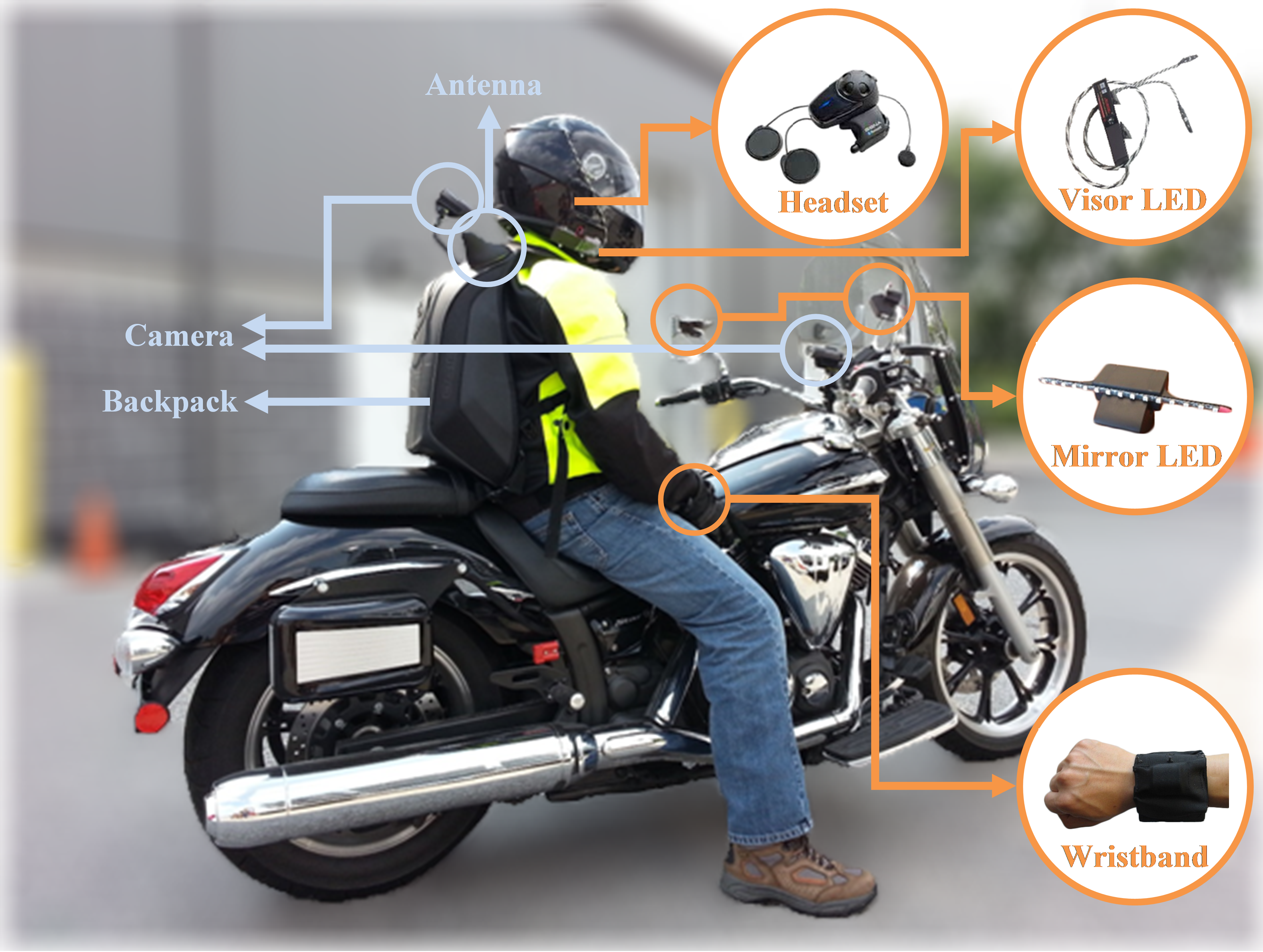
2. Connected Motorcycle Technology Components
3. Connected Motorcycle Back
4. Connected Motorcycle Front
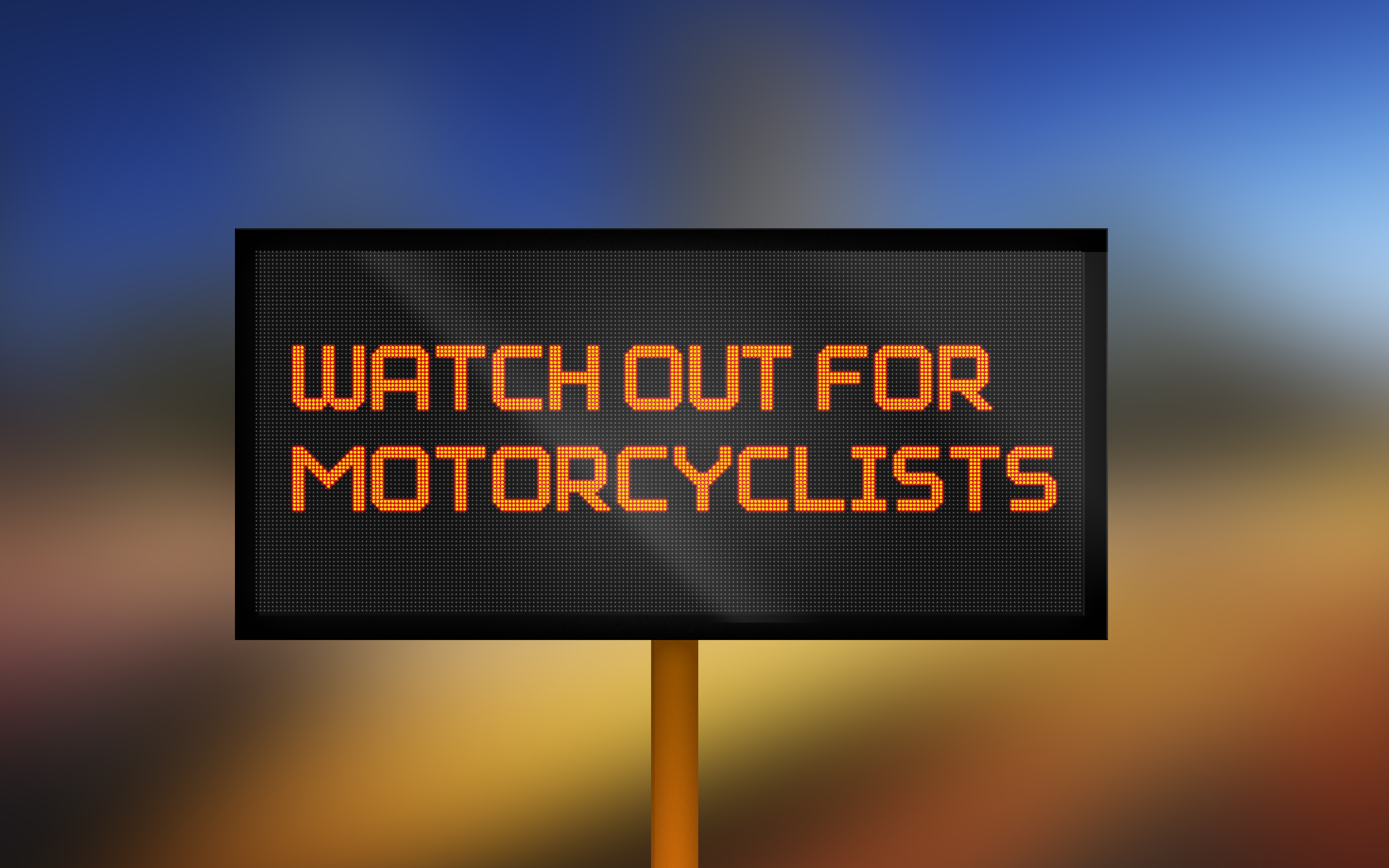
5. Motorcycle DSM Warning
Pedestrians
Photographs depicting ITS technologies that apply to pedestrian safety, mobility and accessibility.
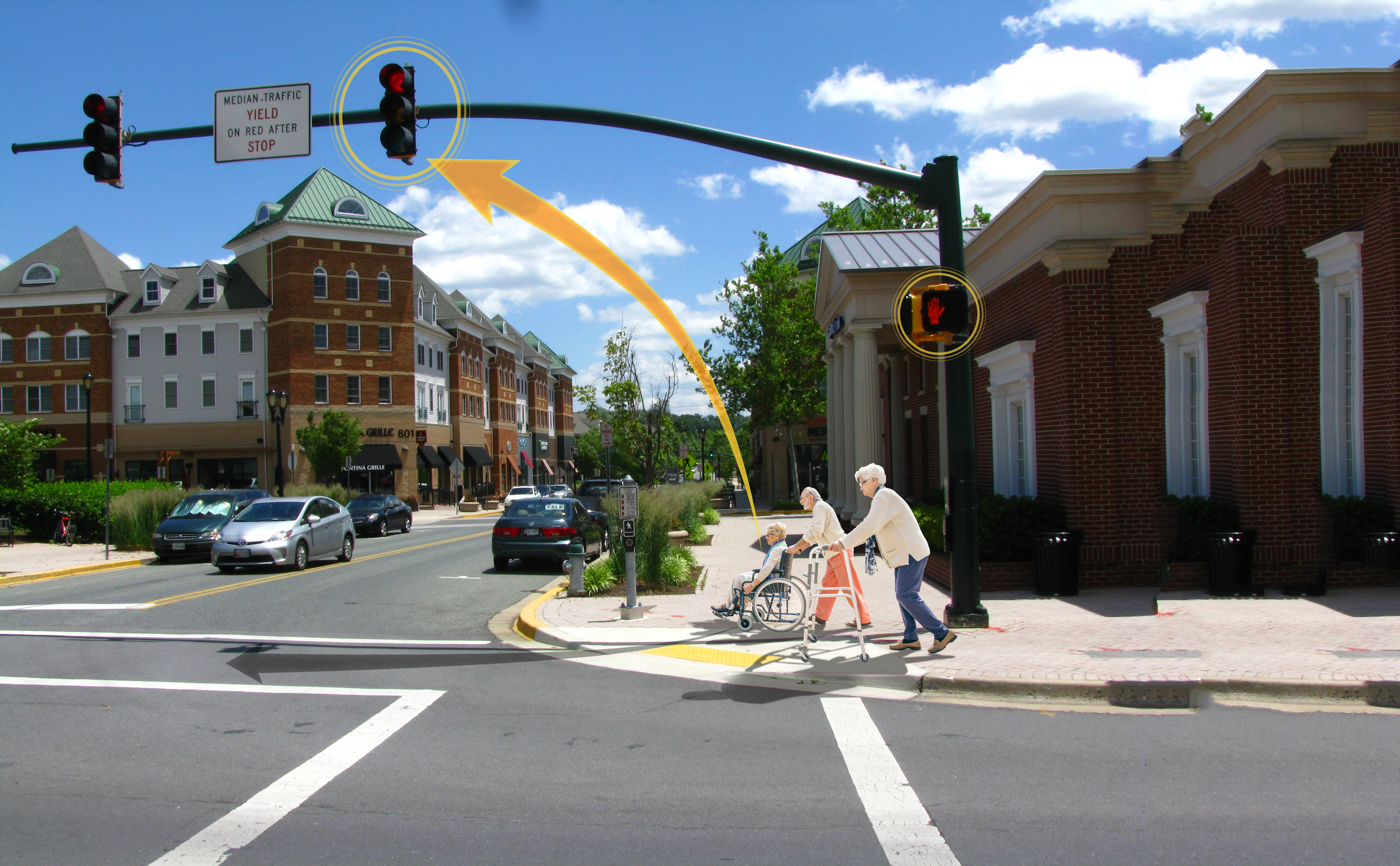
1. Older Adults Connected Intersection
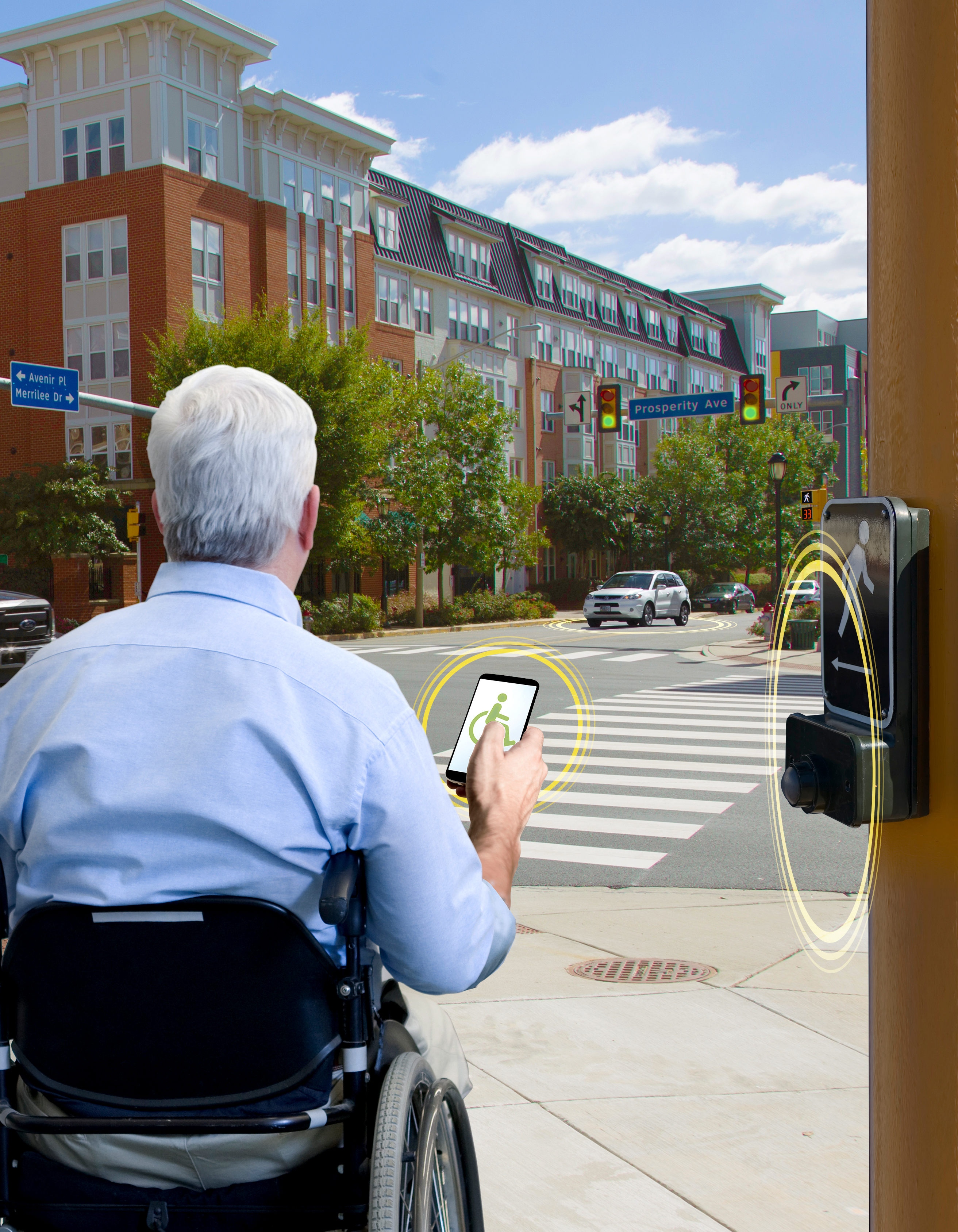
2. Handicapped Intersection Crossing
3. Handicapped Smart Intersection Crossing
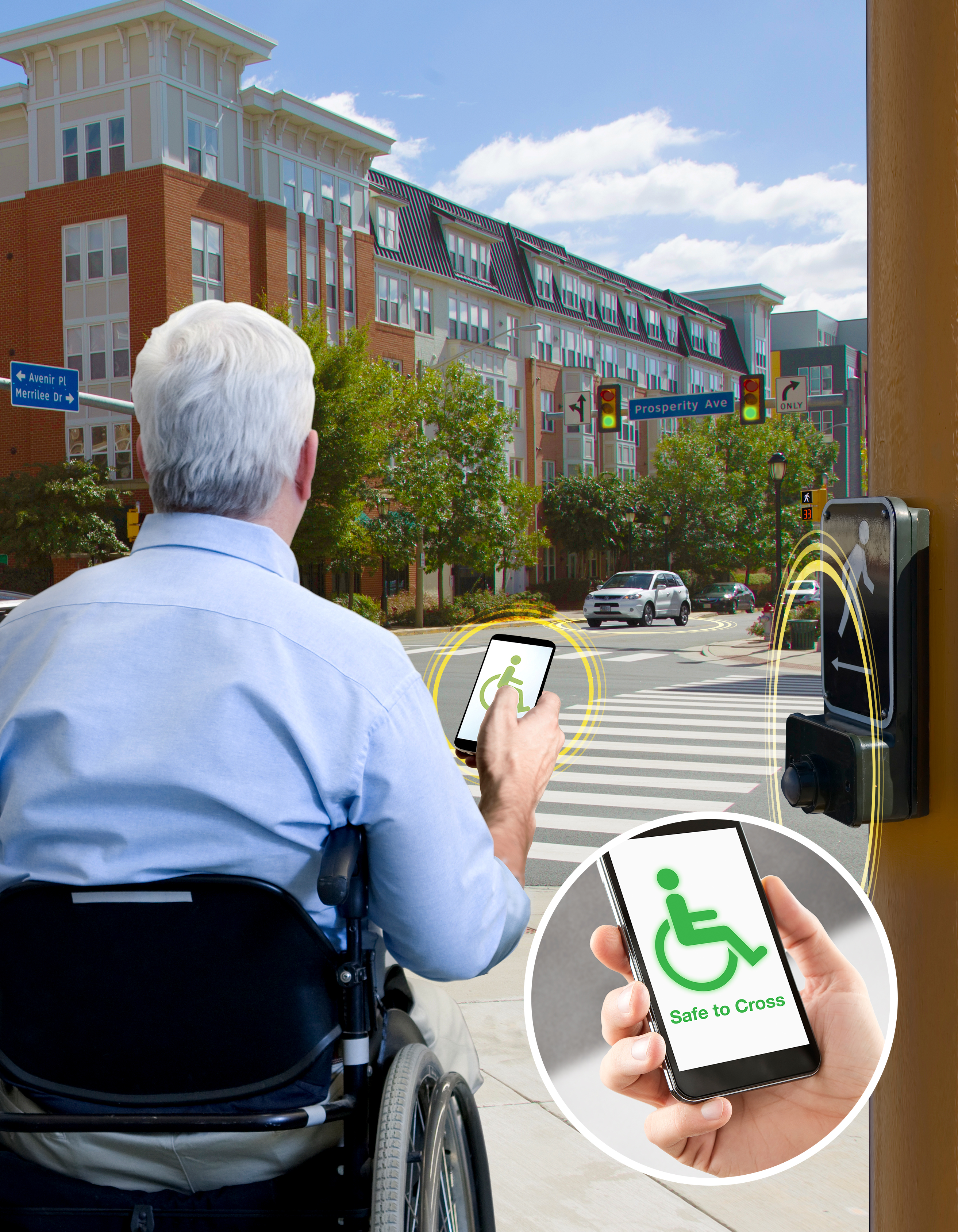
4. Wheelchair Smart Intersection Crossing
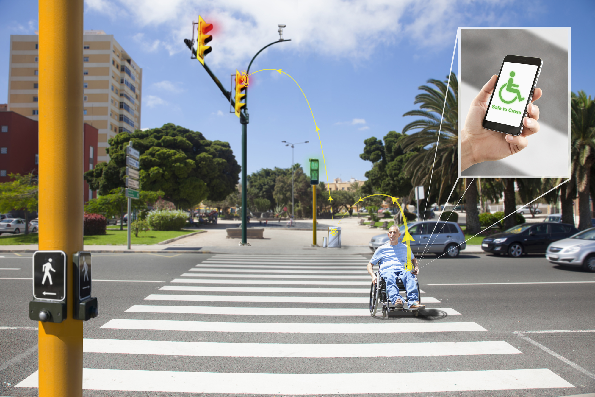
5. Wheelchair Connected Phone Crosswalk
6. Pedestrian Smart Phone Technology
7. Connected Intersection Crosswalk
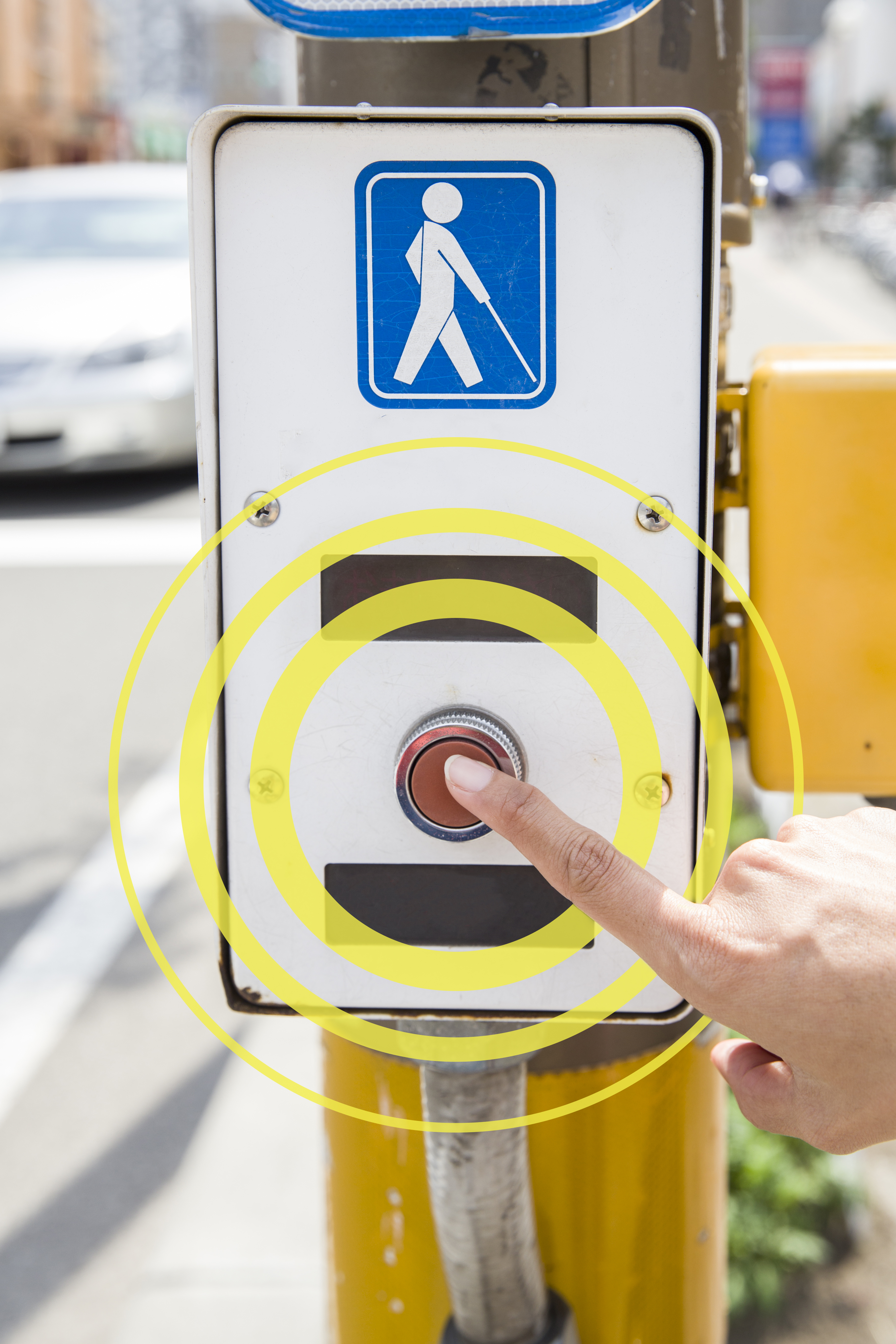
8. Connected Crosswalk Button
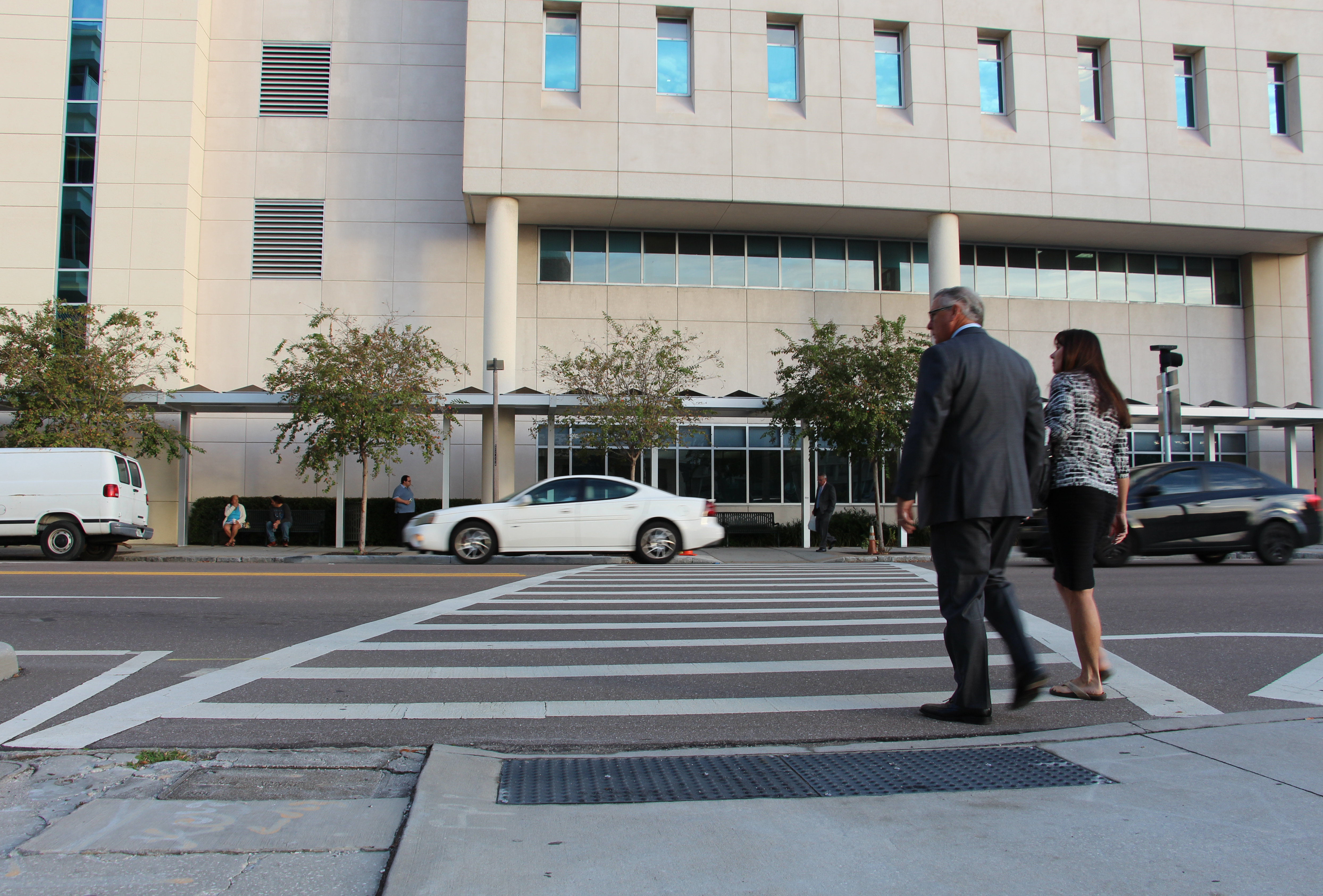
9. Tampa Pedestrian Crosswalk
Stock
Stock Photographs depicting ITS technologies.
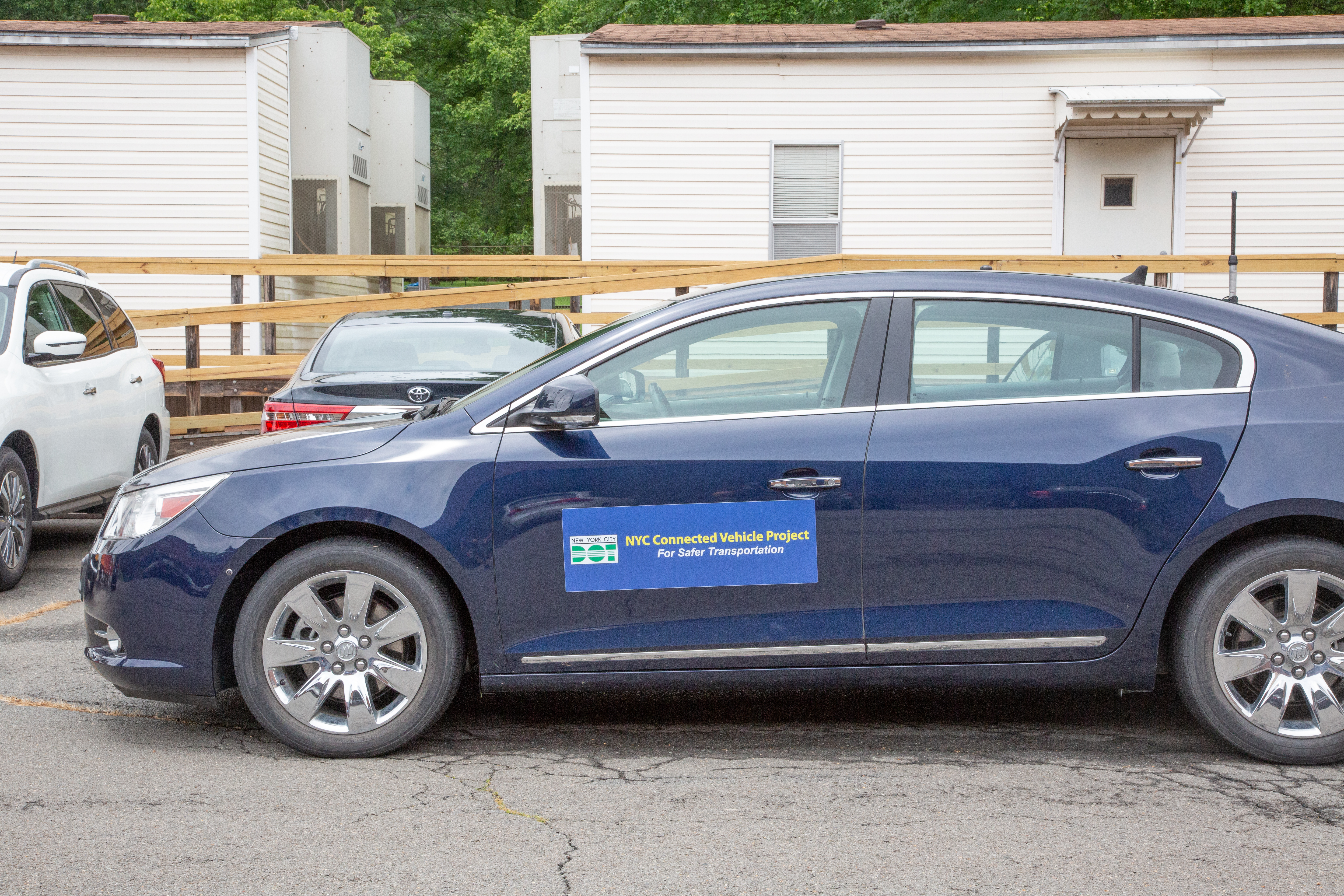
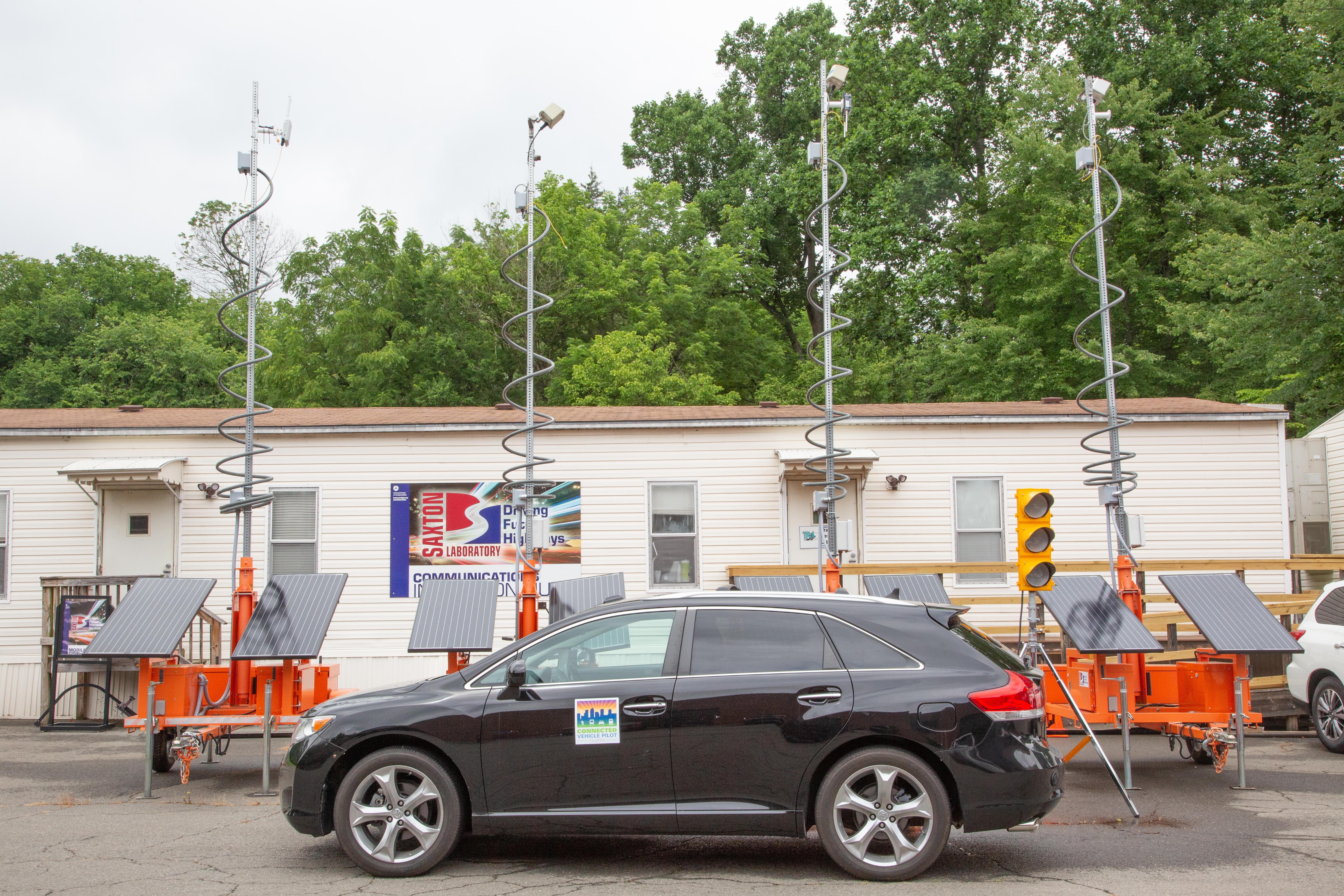
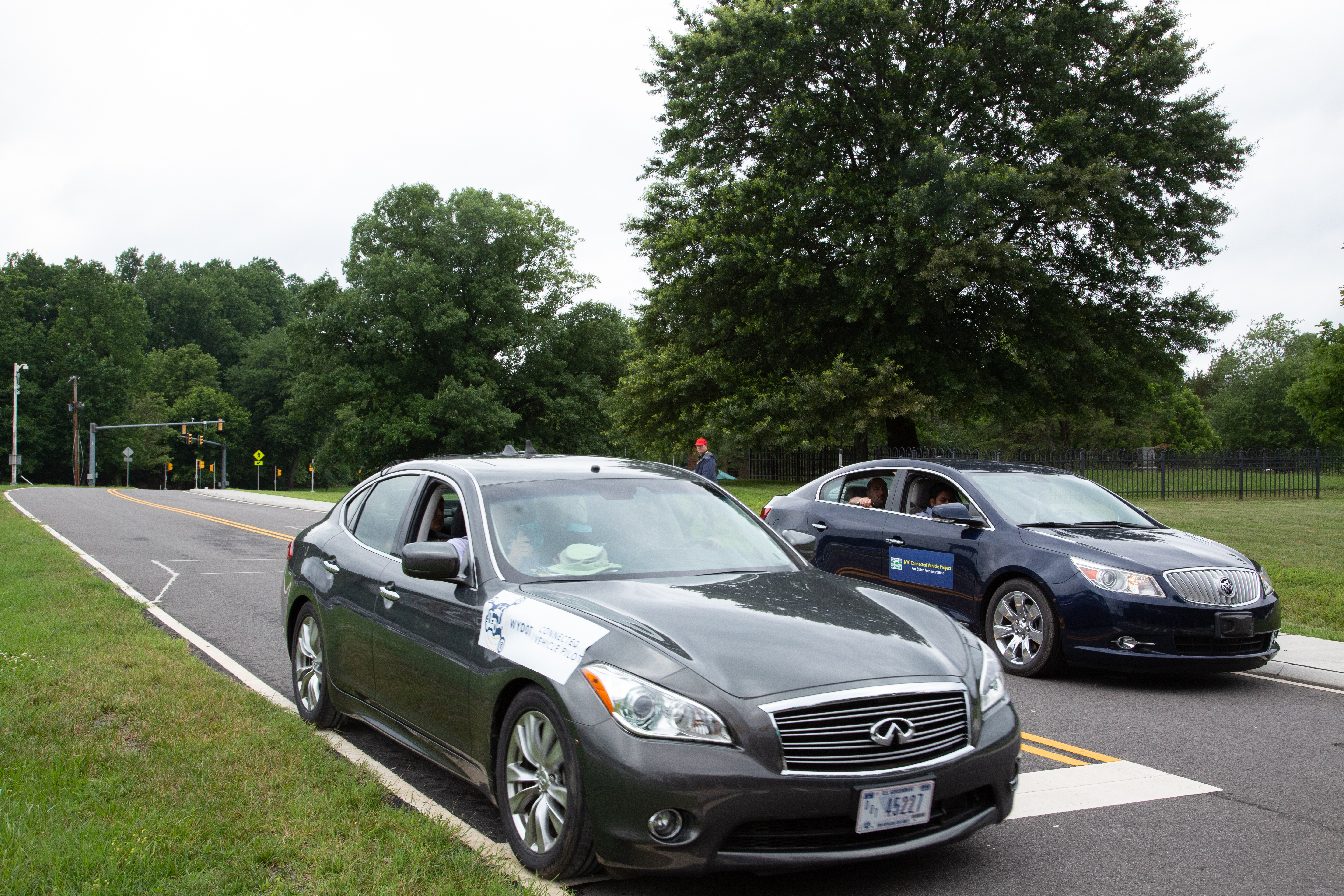
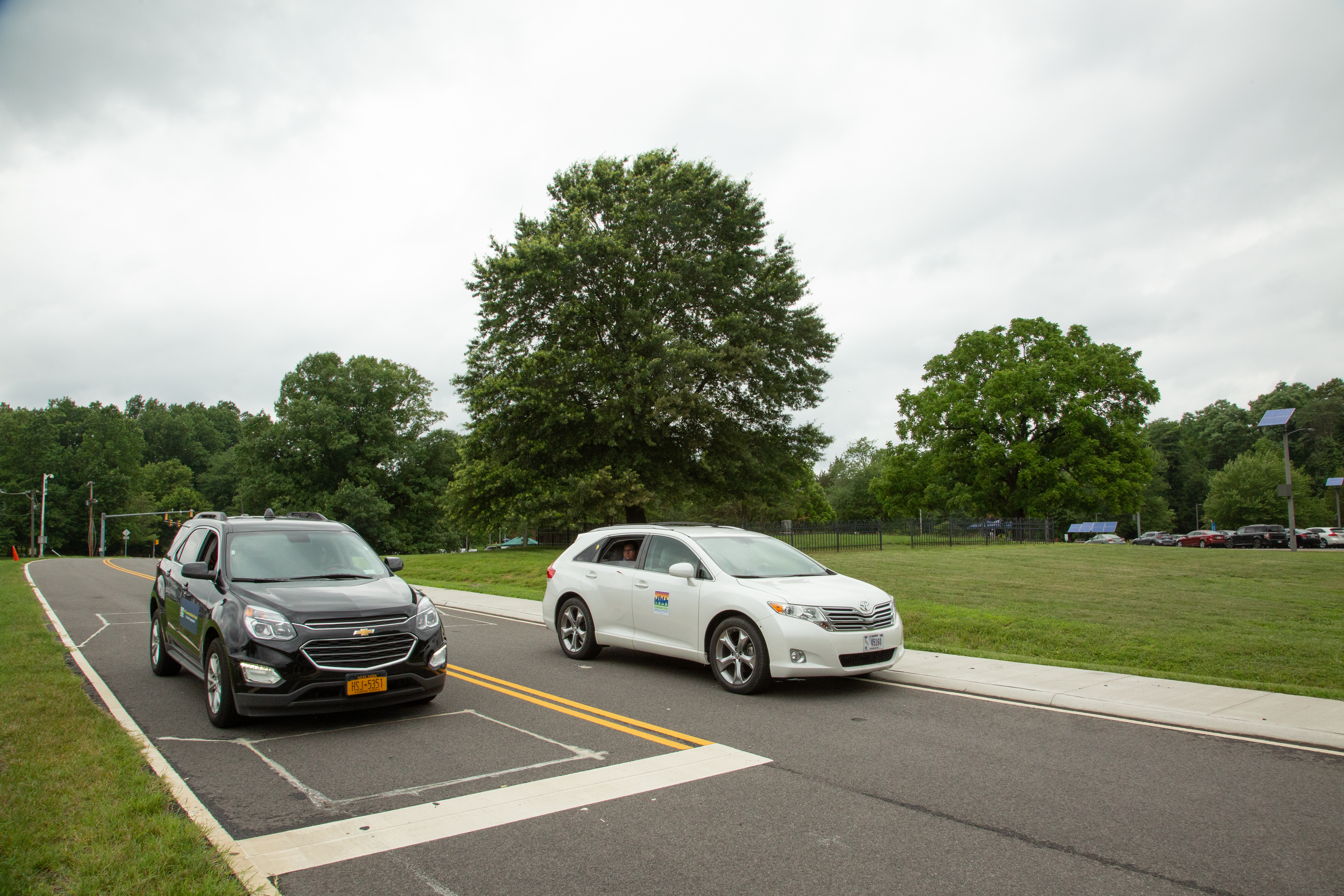
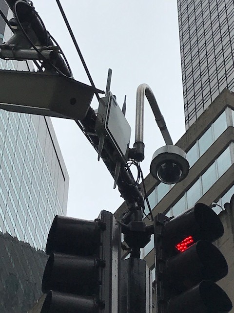
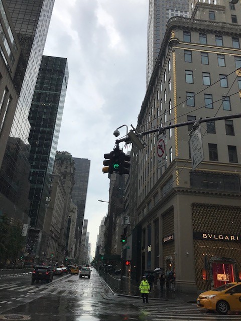
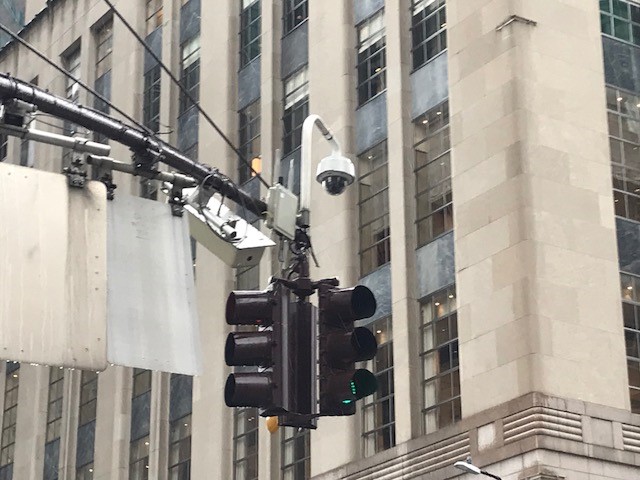
29. Source: New York City DOT
30. Source: New York City DOT
31. Source: New York City DOT
32. CARMA Application Template
33. Crowdsourcing for Traffic Management
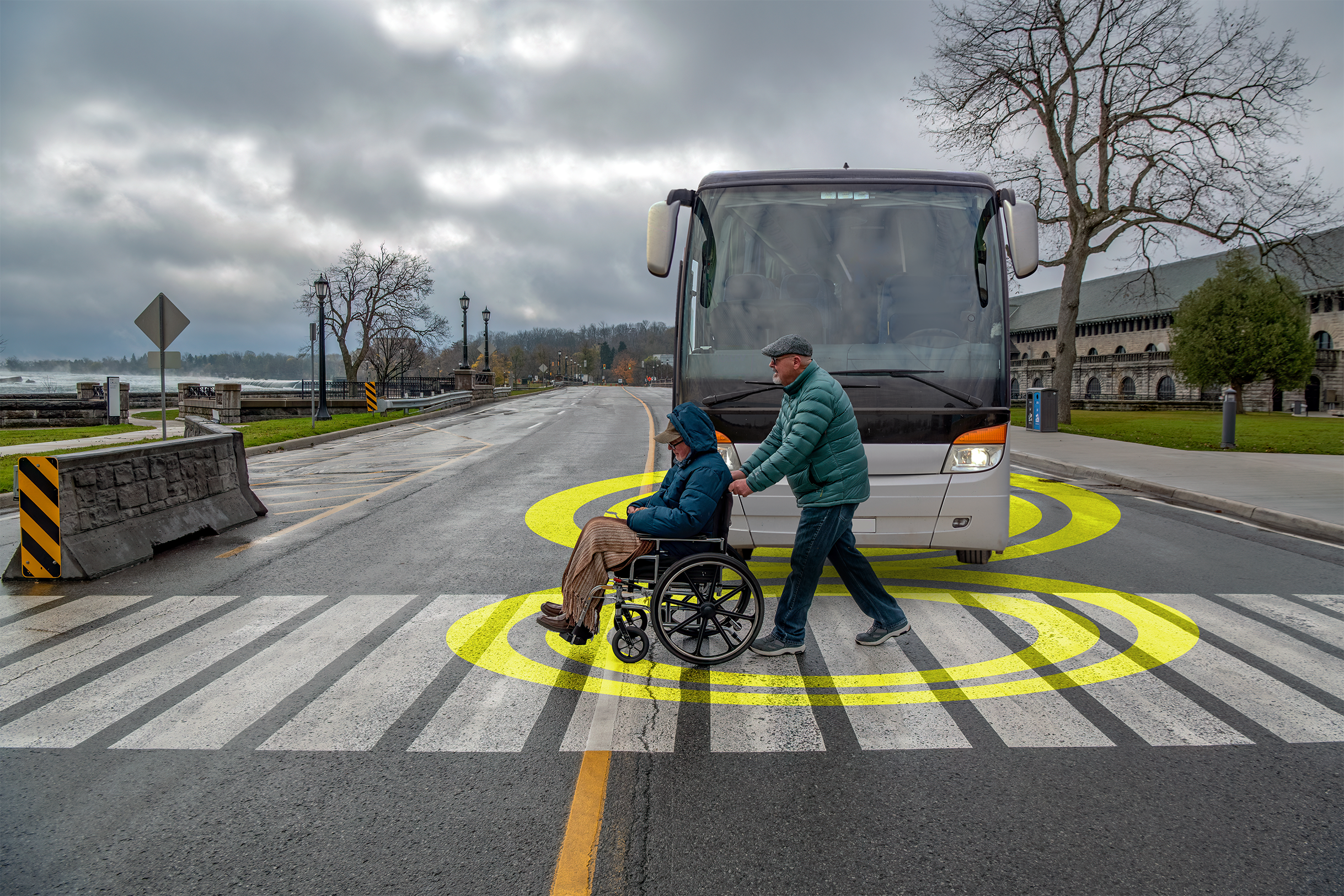
34. Wheelchair interacting with a bus
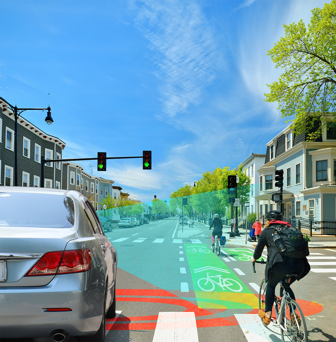
35. Bicycle interacting with a vehicle
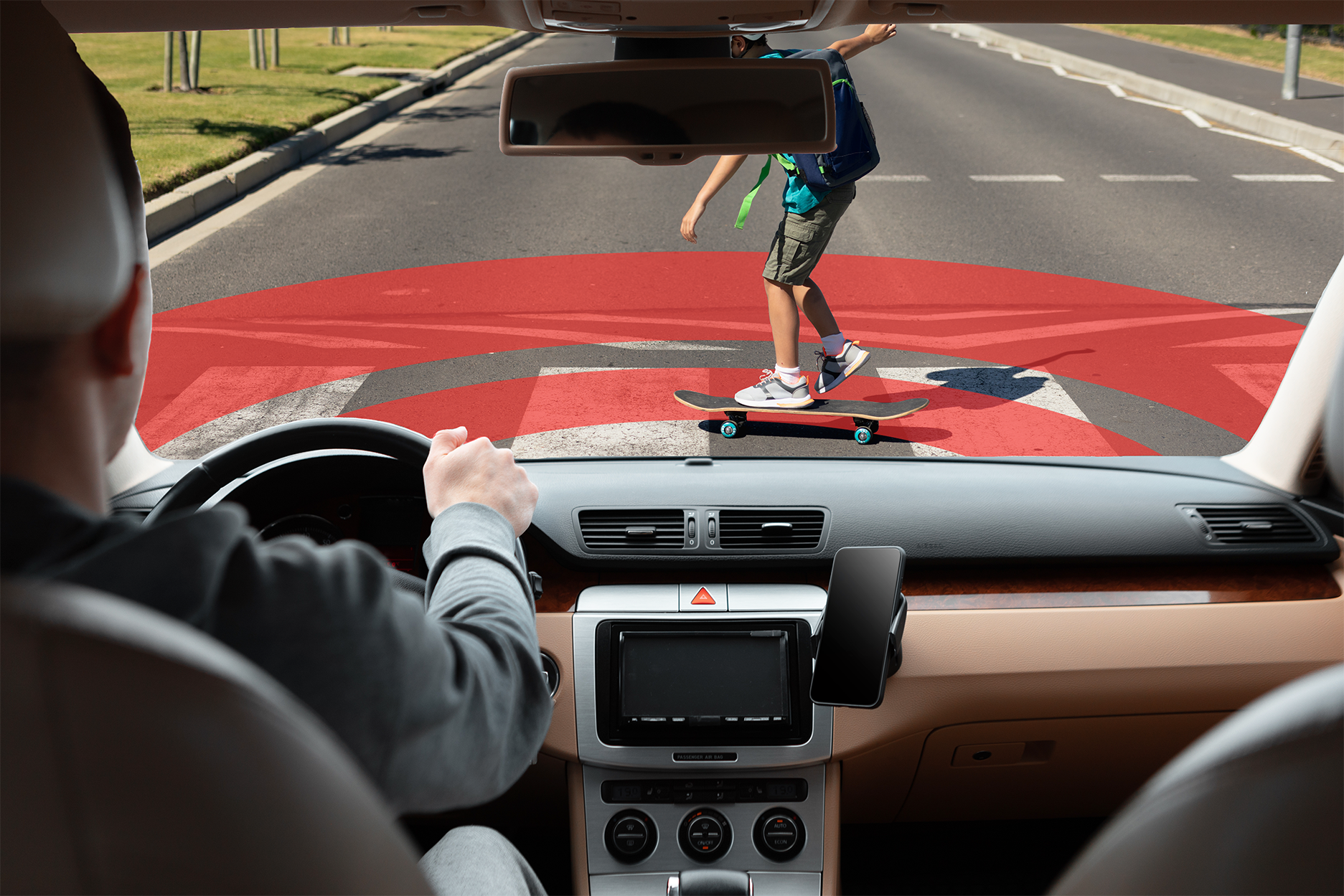
36. Skateboard interacting with a vehicle
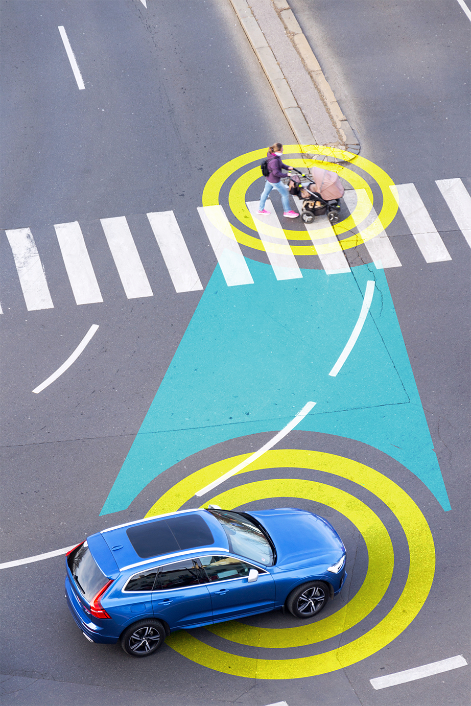
37. Stroller interacting with a vehicle
Storyboards
Connected Vehicles
Storyboards describing the uses and functionality of ITS connected vehicle technology.
1. How Connected Vehicles Work
2. How the 5.9GHZ Spectrum Works
Mobility Services for All Americans (MSAA)
Storyboards describing the uses and functionality of the MSAA.
1. Current Conditions of MSAA
2. MSAA System Interoperability
3. MSAA Multi-Modal Accessibility
4. MSAA Real-Time Traveler Aid Kit